27302 Riverside Drive Extension Salisbury, MD 21801
South Salisbury NeighborhoodEstimated Value: $553,000 - $925,000
--
Bed
3
Baths
4,331
Sq Ft
$186/Sq Ft
Est. Value
About This Home
This home is located at 27302 Riverside Drive Extension, Salisbury, MD 21801 and is currently estimated at $806,231, approximately $186 per square foot. 27302 Riverside Drive Extension is a home located in Wicomico County with nearby schools including Fruitland Primary School, Fruitland Intermediate School, and Bennett Middle School.
Ownership History
Date
Name
Owned For
Owner Type
Purchase Details
Closed on
Jun 1, 1995
Sold by
Griswold Paul D
Bought by
Griswold Paul D and Griswold Sandra L
Current Estimated Value
Purchase Details
Closed on
Aug 4, 1976
Sold by
Griswold Paul D
Bought by
Griswold Paul D
Home Financials for this Owner
Home Financials are based on the most recent Mortgage that was taken out on this home.
Original Mortgage
$85,920
Interest Rate
8.98%
Create a Home Valuation Report for This Property
The Home Valuation Report is an in-depth analysis detailing your home's value as well as a comparison with similar homes in the area
Home Values in the Area
Average Home Value in this Area
Purchase History
| Date | Buyer | Sale Price | Title Company |
|---|---|---|---|
| Griswold Paul D | -- | -- | |
| Griswold Paul D | $67,000 | -- |
Source: Public Records
Mortgage History
| Date | Status | Borrower | Loan Amount |
|---|---|---|---|
| Previous Owner | Griswold Paul D | $85,920 | |
| Closed | Griswold Paul D | -- |
Source: Public Records
Tax History Compared to Growth
Tax History
| Year | Tax Paid | Tax Assessment Tax Assessment Total Assessment is a certain percentage of the fair market value that is determined by local assessors to be the total taxable value of land and additions on the property. | Land | Improvement |
|---|---|---|---|---|
| 2025 | $5,298 | $582,000 | $0 | $0 |
| 2024 | $5,298 | $546,300 | $190,400 | $355,900 |
| 2023 | $5,406 | $542,000 | $0 | $0 |
| 2022 | $5,539 | $537,700 | $0 | $0 |
| 2021 | $2,895 | $533,400 | $190,400 | $343,000 |
| 2020 | $5,490 | $526,467 | $0 | $0 |
| 2019 | $5,497 | $519,533 | $0 | $0 |
| 2018 | $5,452 | $512,600 | $190,400 | $322,200 |
| 2017 | $5,329 | $500,933 | $0 | $0 |
| 2016 | -- | $489,267 | $0 | $0 |
| 2015 | $6,297 | $477,600 | $0 | $0 |
| 2014 | $6,297 | $477,600 | $0 | $0 |
Source: Public Records
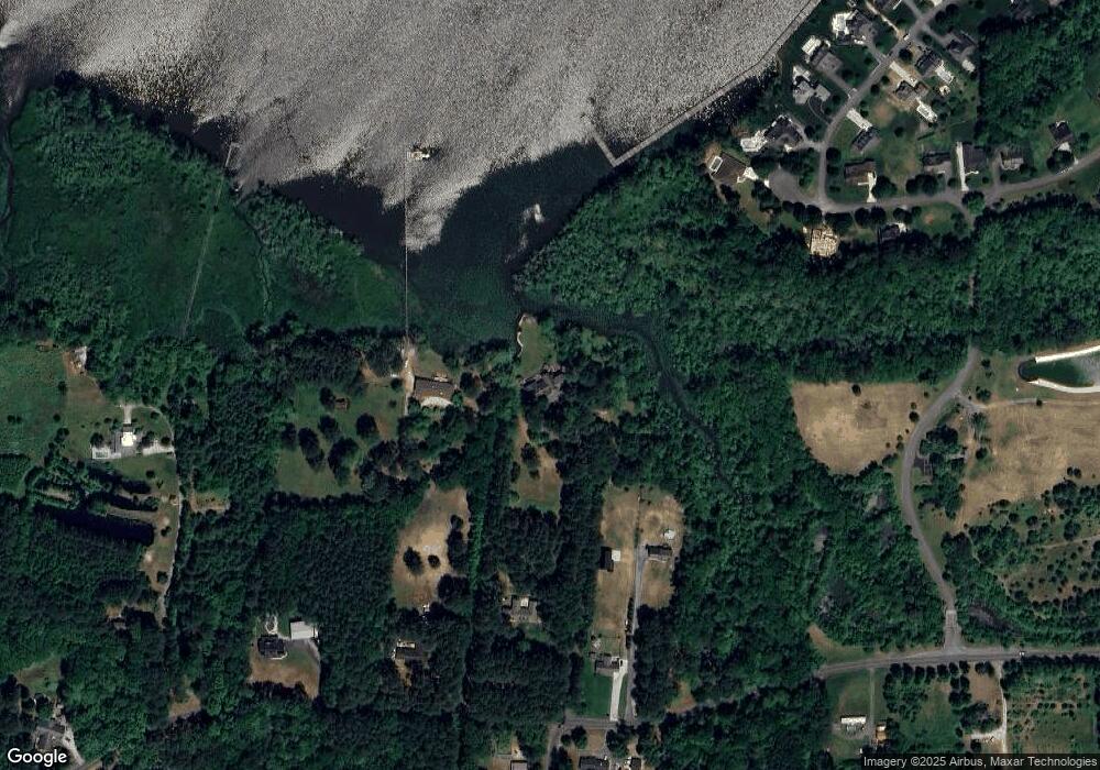
Map
Nearby Homes
- 5079 Old Mill Branch Rd
- 4916 Old Mill Branch Rd
- 5437 Nithsdale Dr
- 5541 E Nithsdale Dr
- 27671 Riverside Drive Extension
- 27728 Riverside Drive Extension
- 5461 Loch Ness Terrace
- 5474 Royal Mile Blvd
- 5686 N Nithsdale Dr Unit N
- 27336 Walnut Tree Rd
- 5703 Royal Mile Blvd
- 5709 Royal Mile Blvd
- 0 King Stuart Dr Unit MDWC2018516
- 5688 Kirkpatrick Ct
- 27620 Appaloosa Dr
- 27640 Belgian Way
- 27652 Belgian Way
- 5088 Sailfish Dr
- 5973 Smithys Ln
- 26694 Pemberton Dr
- 27244 Riverside Drive Extension
- 27244 Riverside Drive Extension
- 27312 Riverside Drive Extension
- 27359 Mooring Way
- 27355 Mooring Way
- 27306 Riverside Drive Extension
- 27306 Riverside Drive Extension
- 27248 Riverside Drive Extension
- 27326 Riverside Drive Extension
- 27371 Mooring Way
- 27232 Riverside Drive Extension
- 5260 Safe Harbor Way
- 27277 Riverside Drive Extension
- 27384 Mooring Way
- 27387 Mooring Way
- 27311 Riverside Drive Extension
- 5270 Safe Harbor Way
- 5267 Safe Harbor Way
- 27392 Mooring Way
- 27190 Riverside Drive Extension