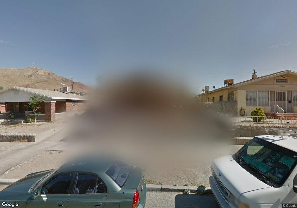
2731 Portland Ave El Paso, TX 79930
Manhattan Heights NeighborhoodEstimated Value: $179,000 - $213,000
--
Bed
1
Bath
1,356
Sq Ft
$142/Sq Ft
Est. Value
About This Home
This home is located at 2731 Portland Ave, El Paso, TX 79930 and is currently estimated at $193,185, approximately $142 per square foot. 2731 Portland Ave is a home located in El Paso County with nearby schools including Moreno Elementary School, Armendariz Middle School, and Middle School-5 NW Middle.
Ownership History
Date
Name
Owned For
Owner Type
Purchase Details
Closed on
Aug 11, 2014
Sold by
The El Paso Preservation Alliance
Bought by
Alvarado Kardha and Alvarado Rommel
Current Estimated Value
Home Financials for this Owner
Home Financials are based on the most recent Mortgage that was taken out on this home.
Original Mortgage
$147,283
Outstanding Balance
$112,739
Interest Rate
4.37%
Mortgage Type
FHA
Estimated Equity
$80,446
Purchase Details
Closed on
Feb 15, 2008
Sold by
Estate Of Maria Del Refugio Mendoza Cast
Bought by
City Of El Paso
Create a Home Valuation Report for This Property
The Home Valuation Report is an in-depth analysis detailing your home's value as well as a comparison with similar homes in the area
Home Values in the Area
Average Home Value in this Area
Purchase History
| Date | Buyer | Sale Price | Title Company |
|---|---|---|---|
| Alvarado Kardha | -- | None Available | |
| City Of El Paso | -- | None Available |
Source: Public Records
Mortgage History
| Date | Status | Borrower | Loan Amount |
|---|---|---|---|
| Open | Alvarado Kardha | $147,283 |
Source: Public Records
Tax History Compared to Growth
Tax History
| Year | Tax Paid | Tax Assessment Tax Assessment Total Assessment is a certain percentage of the fair market value that is determined by local assessors to be the total taxable value of land and additions on the property. | Land | Improvement |
|---|---|---|---|---|
| 2025 | $1,222 | $93,012 | -- | -- |
| 2024 | $1,222 | $84,556 | -- | -- |
| 2023 | $1,188 | $76,869 | $0 | $0 |
| 2022 | $2,069 | $69,881 | $0 | $0 |
| 2021 | $1,984 | $106,032 | $15,183 | $90,849 |
| 2020 | $1,775 | $57,753 | $13,721 | $44,032 |
| 2018 | $1,698 | $57,364 | $13,721 | $43,643 |
| 2017 | $1,520 | $53,956 | $13,721 | $40,235 |
| 2016 | $1,520 | $53,956 | $13,721 | $40,235 |
| 2015 | $638 | $53,956 | $13,721 | $40,235 |
| 2014 | $638 | $59,490 | $13,721 | $45,769 |
Source: Public Records
Map
Nearby Homes
- 2805 Grant Ave
- 2612 San Jose Ave
- 2520 San Jose Ave Unit 4C
- 2520 San Jose Ave Unit 4D
- 2415 Pittsburg Ave
- 1701 Elm St
- 1712 Elm St
- 3132 Pershing Dr
- 2510 Federal Ave
- 2630 Wheeling Ave
- 2309 San Diego Ave
- 2413 Copper Ave
- 1605 Dakota St
- 1813 & 181 Alabama St
- 2624 Aurora Ave
- 2735 Aurora Ave
- 2212 Silver Ave
- 2407 Grant Ave
- 3116 Wheeling Ave
- 1229 Ohio St
- 2735 Portland Ave
- 2729 Portland Ave
- 2725 Portland Ave
- 2730 San Jose Ave
- 2732 San Jose Ave
- 2726 San Jose Ave
- 2721 Portland Ave
- 1283 Elm St
- 1285 Elm St
- 2722 San Jose Ave
- 1287 Elm St
- 2715 Portland Ave
- 1297 Elm St Unit 1299
- 2718 San Jose Ave
- 2716 San Jose Ave
- 2709 Portland Ave
- 2708 San Jose Ave
- 2733 San Jose Ave
- 2737 San Jose Ave
- 2705 Portland Ave