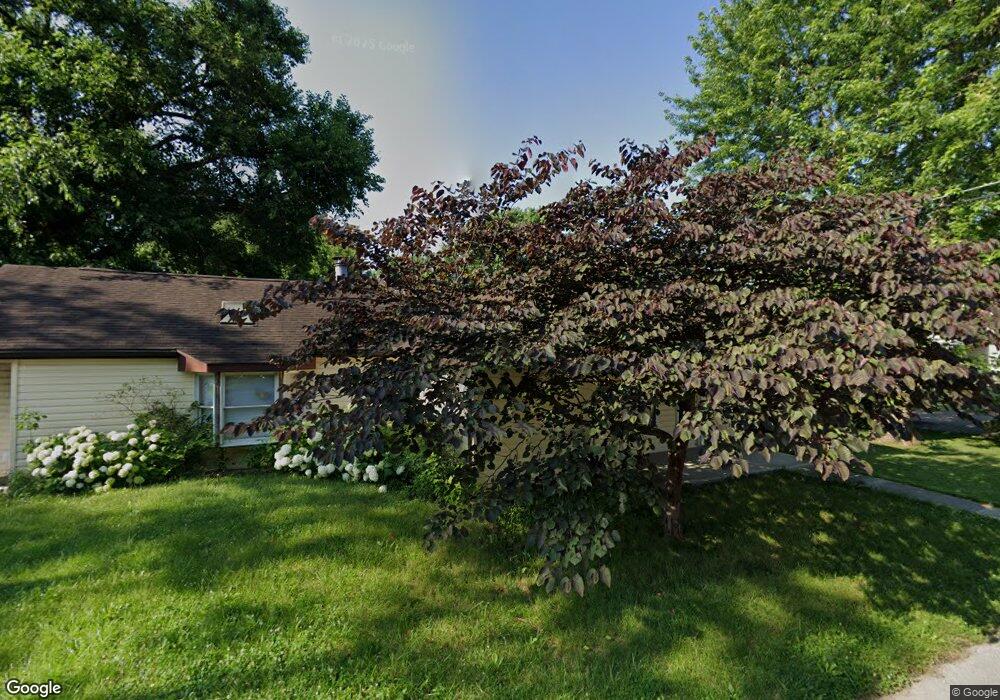
2732 Calvin Ave Dayton, OH 45414
Northridge NeighborhoodEstimated Value: $81,169 - $142,000
3
Beds
1
Bath
976
Sq Ft
$118/Sq Ft
Est. Value
About This Home
This home is located at 2732 Calvin Ave, Dayton, OH 45414 and is currently estimated at $115,542, approximately $118 per square foot. 2732 Calvin Ave is a home located in Montgomery County with nearby schools including Northridge High School, Horizon Science Academy-Dayton Elementary School, and Horizon Science Academy Dayton High School.
Ownership History
Date
Name
Owned For
Owner Type
Purchase Details
Closed on
Sep 8, 2008
Sold by
Nelson Carl
Bought by
Nelson Nancy Brooks
Current Estimated Value
Home Financials for this Owner
Home Financials are based on the most recent Mortgage that was taken out on this home.
Original Mortgage
$34,398
Outstanding Balance
$22,781
Interest Rate
6.43%
Mortgage Type
New Conventional
Estimated Equity
$92,761
Purchase Details
Closed on
Mar 1, 2006
Sold by
Hud
Bought by
Nelson Nancy Brooks
Purchase Details
Closed on
Nov 15, 2005
Sold by
Derksen Melissa
Bought by
Hud
Purchase Details
Closed on
Jun 24, 2003
Sold by
Elkins Russel L and Elkins Lorian R
Bought by
Derksen Melissa
Home Financials for this Owner
Home Financials are based on the most recent Mortgage that was taken out on this home.
Original Mortgage
$70,395
Interest Rate
5.4%
Mortgage Type
FHA
Create a Home Valuation Report for This Property
The Home Valuation Report is an in-depth analysis detailing your home's value as well as a comparison with similar homes in the area
Home Values in the Area
Average Home Value in this Area
Purchase History
| Date | Buyer | Sale Price | Title Company |
|---|---|---|---|
| Nelson Nancy Brooks | -- | Attorney | |
| Nelson Nancy Brooks | $21,500 | Lakeside Title & Escrow Agen | |
| Hud | $26,000 | None Available | |
| Derksen Melissa | $71,500 | -- |
Source: Public Records
Mortgage History
| Date | Status | Borrower | Loan Amount |
|---|---|---|---|
| Open | Nelson Nancy Brooks | $34,398 | |
| Previous Owner | Derksen Melissa | $70,395 |
Source: Public Records
Tax History Compared to Growth
Tax History
| Year | Tax Paid | Tax Assessment Tax Assessment Total Assessment is a certain percentage of the fair market value that is determined by local assessors to be the total taxable value of land and additions on the property. | Land | Improvement |
|---|---|---|---|---|
| 2024 | $465 | $14,740 | $3,700 | $11,040 |
| 2023 | $465 | $14,740 | $3,700 | $11,040 |
| 2022 | $1,128 | $10,680 | $2,680 | $8,000 |
| 2021 | $1,132 | $10,680 | $2,680 | $8,000 |
| 2020 | $1,132 | $10,680 | $2,680 | $8,000 |
| 2019 | $1,286 | $10,890 | $2,410 | $8,480 |
| 2018 | $1,288 | $10,890 | $2,410 | $8,480 |
| 2017 | $1,281 | $10,890 | $2,410 | $8,480 |
| 2016 | $1,220 | $10,320 | $2,680 | $7,640 |
| 2015 | $1,049 | $10,320 | $2,680 | $7,640 |
| 2014 | $1,049 | $10,320 | $2,680 | $7,640 |
| 2012 | -- | $16,740 | $2,860 | $13,880 |
Source: Public Records
Map
Nearby Homes
- 2585 Coronette Ave
- 4404 Ross Ave
- 2424 Ottello Ave
- 4400 Canyon Rd
- 2417 Neff Rd
- 2233 Ottello Ave
- 2073 Auburndale Ave
- 2315 Rector Ave
- 2216 Rector Ave
- 3325 Rolfe Ave
- 2110 Needmore Rd
- 3394 Lodge Ave Unit 3384
- 2304 Homesite Dr
- 2127 Marker Ave
- 2171 Argray Dr
- 2412 Neva Dr
- 1806 Pinecrest Dr
- 1820 E Siebenthaler Ave
- 1742 Eric Dr
- 5586 Wadsworth Rd
- 2728 Calvin Ave
- 4821 Wire Dr
- 4813 Wire Dr
- 2724 Calvin Ave
- 2729 Boulder Ave
- 4805 Wire Dr
- 4901 Wire Dr
- 2725 Boulder Ave
- 2731 Calvin Ave
- 2729 Calvin Ave
- 2714 Calvin Ave
- 2719 Boulder Ave
- 2725 Calvin Ave
- 4909 Wire Dr
- 2713 Boulder Ave
- 2708 Calvin Ave
- 2717 Calvin Ave
- 4820 Wire Dr
- 2713 Calvin Ave
- 2709 Boulder Ave