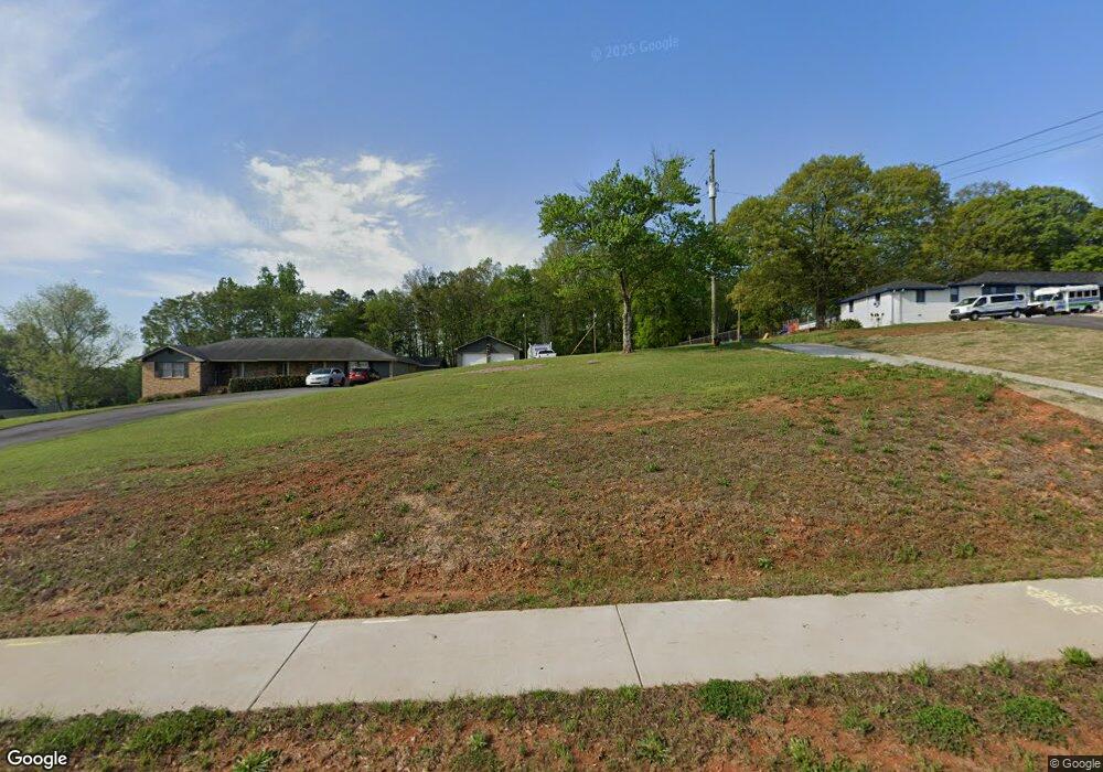
2732 MacLand Rd Dallas, GA 30157
East Paulding County NeighborhoodEstimated Value: $482,348 - $642,000
3
Beds
3
Baths
2,429
Sq Ft
$224/Sq Ft
Est. Value
About This Home
This home is located at 2732 MacLand Rd, Dallas, GA 30157 and is currently estimated at $543,837, approximately $223 per square foot. 2732 MacLand Rd is a home located in Paulding County with nearby schools including Mcgarity Elementary School, P. B. Ritch Middle School, and East Paulding High School.
Ownership History
Date
Name
Owned For
Owner Type
Purchase Details
Closed on
Oct 10, 2007
Sold by
Fowler Alton O and Leanne Fowler P
Bought by
Vallrugo John M and Vallrugo Dawn L
Current Estimated Value
Home Financials for this Owner
Home Financials are based on the most recent Mortgage that was taken out on this home.
Original Mortgage
$145,000
Outstanding Balance
$91,468
Interest Rate
6.41%
Mortgage Type
New Conventional
Estimated Equity
$452,369
Create a Home Valuation Report for This Property
The Home Valuation Report is an in-depth analysis detailing your home's value as well as a comparison with similar homes in the area
Home Values in the Area
Average Home Value in this Area
Purchase History
| Date | Buyer | Sale Price | Title Company |
|---|---|---|---|
| Vallrugo John M | $285,000 | -- |
Source: Public Records
Mortgage History
| Date | Status | Borrower | Loan Amount |
|---|---|---|---|
| Open | Vallrugo John M | $145,000 |
Source: Public Records
Tax History Compared to Growth
Tax History
| Year | Tax Paid | Tax Assessment Tax Assessment Total Assessment is a certain percentage of the fair market value that is determined by local assessors to be the total taxable value of land and additions on the property. | Land | Improvement |
|---|---|---|---|---|
| 2024 | $4,468 | $182,840 | $35,200 | $147,640 |
| 2023 | $4,440 | $172,852 | $33,480 | $139,372 |
| 2022 | $3,176 | $153,484 | $29,600 | $123,884 |
| 2021 | $2,538 | $116,040 | $25,040 | $91,000 |
| 2020 | $2,361 | $103,700 | $23,840 | $79,860 |
| 2019 | $2,384 | $94,276 | $21,440 | $72,836 |
| 2018 | $2,823 | $95,560 | $21,560 | $74,000 |
| 2017 | $782 | $86,984 | $20,640 | $66,344 |
| 2016 | $2,264 | $76,732 | $20,640 | $56,092 |
| 2015 | $2,176 | $72,568 | $20,240 | $52,328 |
| 2014 | $2,100 | $66,532 | $18,600 | $47,932 |
| 2013 | -- | $63,840 | $20,400 | $43,440 |
Source: Public Records
Map
Nearby Homes
- 2778 MacLand Rd
- 58 MacLand Mill Ct
- 404 MacLand Mill Dr
- 157 MacLand Mill Ln
- 0 MacLand Mill Dr Unit 10576487
- 2385 MacLand Rd
- 568 Barnfield Way
- 580 Barnfield Way
- 608 Barnfield Way
- 517 Barnfield Way
- Wellton Plan at Old Mill Preserve
- Anglewood Plan at Old Mill Preserve
- Pendula Plan at Old Mill Preserve
- Kittridge Plan at Old Mill Preserve
- Boylston Plan at Old Mill Preserve
- 507 Barnfield Way
- 128 Camry Cir
- 176 Crescent Woode Way
- 120 MacLand Mill Ct
- 110 MacLand Mill Ct
- 88 MacLand Mill Ct
- 2752 MacLand Rd
- 70 MacLand Mill Ct
- 2678 MacLand Rd
- 126 MacLand Mill Ct
- 0 MacLand Mill Ct
- 117 MacLand Mill Dr
- 129 MacLand Mill Ct
- 62 MacLand Mill Ct Unit 35
- 123 MacLand Mill Ct
- 75 MacLand Mill Ct
- 2658 MacLand Rd
- 380 MacLand Mill Dr
- 400 MacLand Mill Dr
- 366 MacLand Mill Dr
- 38 MacLand Mill Ct
- 2822 MacLand Rd
- 340 MacLand Mill Dr