2732 Thornton Rd Ferndale, WA 98248
Estimated Value: $744,000 - $974,000
3
Beds
3
Baths
1,962
Sq Ft
$427/Sq Ft
Est. Value
About This Home
This home is located at 2732 Thornton Rd, Ferndale, WA 98248 and is currently estimated at $837,832, approximately $427 per square foot. 2732 Thornton Rd is a home located in Whatcom County with nearby schools including Cascadia Elementary School, Horizon Middle School, and Ferndale High School.
Ownership History
Date
Name
Owned For
Owner Type
Purchase Details
Closed on
Feb 14, 2008
Sold by
Grant Russell L and Grant Lynda O
Bought by
Oxford Bradford K and Oxford Rhonda K
Current Estimated Value
Home Financials for this Owner
Home Financials are based on the most recent Mortgage that was taken out on this home.
Original Mortgage
$391,500
Outstanding Balance
$244,221
Interest Rate
5.85%
Mortgage Type
Purchase Money Mortgage
Estimated Equity
$593,611
Create a Home Valuation Report for This Property
The Home Valuation Report is an in-depth analysis detailing your home's value as well as a comparison with similar homes in the area
Home Values in the Area
Average Home Value in this Area
Purchase History
| Date | Buyer | Sale Price | Title Company |
|---|---|---|---|
| Oxford Bradford K | $435,280 | Chicago Title Insurance |
Source: Public Records
Mortgage History
| Date | Status | Borrower | Loan Amount |
|---|---|---|---|
| Open | Oxford Bradford K | $391,500 |
Source: Public Records
Tax History Compared to Growth
Tax History
| Year | Tax Paid | Tax Assessment Tax Assessment Total Assessment is a certain percentage of the fair market value that is determined by local assessors to be the total taxable value of land and additions on the property. | Land | Improvement |
|---|---|---|---|---|
| 2024 | $5,102 | $782,035 | $445,230 | $336,805 |
| 2023 | $5,102 | $705,851 | $382,000 | $323,851 |
| 2022 | $4,377 | $584,592 | $233,104 | $351,488 |
| 2021 | $4,043 | $463,958 | $185,002 | $278,956 |
| 2020 | $4,133 | $393,183 | $156,780 | $236,403 |
| 2019 | $3,303 | $364,056 | $145,166 | $218,890 |
| 2018 | $3,874 | $331,612 | $132,229 | $199,383 |
| 2017 | $3,641 | $298,749 | $119,125 | $179,624 |
| 2016 | $3,649 | $299,854 | $125,201 | $174,653 |
| 2015 | $3,530 | $299,854 | $125,201 | $174,653 |
| 2014 | -- | $282,022 | $117,755 | $164,267 |
| 2013 | -- | $276,031 | $115,254 | $160,777 |
Source: Public Records
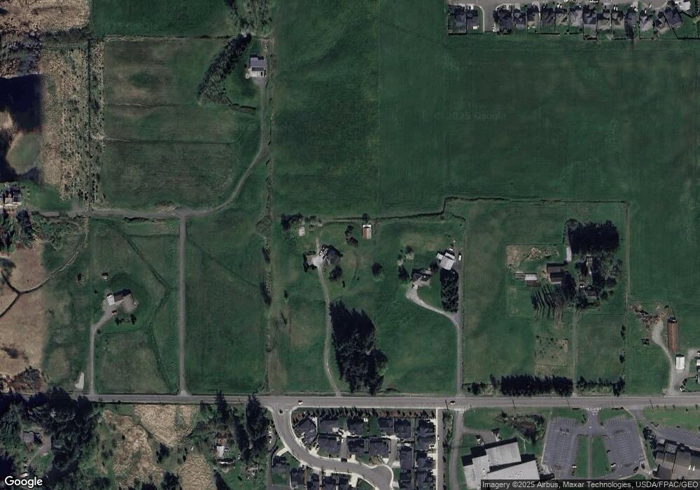
Map
Nearby Homes
- 6072 Monument Dr
- 6041 Brian Ct
- 6038 Brian Ct
- 2632 (Lot 13) Sievers Way
- 2630 (Lot 12) Sievers Way
- 5942 (Lot 47) Ranch Loop
- 5944 (Lot 46) Ranch Loop
- 5946 (Lot 45) Ranch Loop
- 6130 Pacific Heights Dr
- 5943 (Lot 58) Ranch Loop
- 5948 Lot 44 Ranch Loop
- 0 XX Olson Rd
- 5947 (Lot 61) Ranch Loop
- 2780 Jenjar Ave
- 5963 (Lot 69) Ranch Loop
- 2563 Pacific Highlands Ave
- 2605 (Lot 80) Longhorn Ln
- 2646 Lochcarron Dr
- 6241 Olson Rd
- 6141 Church Rd
- 6098 Monument Dr
- 6094 Monument Dr
- 6080 Monument Dr
- 6093 Monument Dr
- 6090 Monument Dr
- 6089 Monument Dr
- 2763 Thornton Rd
- 6076 Monument Dr
- 6085 Monument Dr
- 6081 Monument Dr
- 6086 Monument Dr
- 6075 Monument Dr
- 6082 Monument Dr
- 6067 Monument Dr
- 2705 Thornton Rd
- 6077 Rossie Ln
- 6064 Monument Dr
- 6073 Rossie Ln
- 6059 Monument Dr
- 6069 Rossie Ln