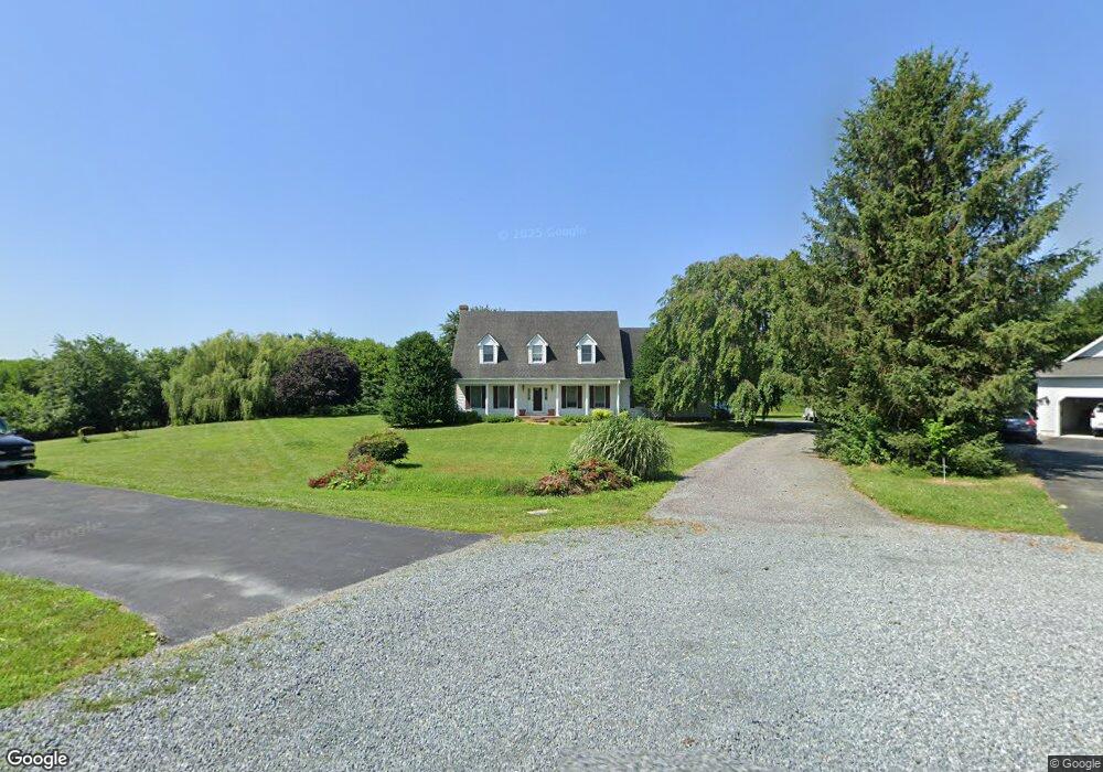
27323 Preston Ln Chestertown, MD 21620
Estimated Value: $355,000 - $499,000
--
Bed
3
Baths
1,992
Sq Ft
$209/Sq Ft
Est. Value
About This Home
This home is located at 27323 Preston Ln, Chestertown, MD 21620 and is currently estimated at $415,917, approximately $208 per square foot. 27323 Preston Ln is a home located in Kent County with nearby schools including Center for Innovation, Kent County Middle School, and Kent County High School.
Ownership History
Date
Name
Owned For
Owner Type
Purchase Details
Closed on
Nov 28, 2011
Sold by
Reed Charles D
Bought by
Reed Karen T
Current Estimated Value
Home Financials for this Owner
Home Financials are based on the most recent Mortgage that was taken out on this home.
Original Mortgage
$50,000
Outstanding Balance
$5,432
Interest Rate
4.09%
Mortgage Type
New Conventional
Estimated Equity
$410,485
Create a Home Valuation Report for This Property
The Home Valuation Report is an in-depth analysis detailing your home's value as well as a comparison with similar homes in the area
Home Values in the Area
Average Home Value in this Area
Purchase History
| Date | Buyer | Sale Price | Title Company |
|---|---|---|---|
| Reed Karen T | $75,000 | None Available |
Source: Public Records
Mortgage History
| Date | Status | Borrower | Loan Amount |
|---|---|---|---|
| Open | Reed Karen T | $50,000 |
Source: Public Records
Tax History Compared to Growth
Tax History
| Year | Tax Paid | Tax Assessment Tax Assessment Total Assessment is a certain percentage of the fair market value that is determined by local assessors to be the total taxable value of land and additions on the property. | Land | Improvement |
|---|---|---|---|---|
| 2025 | $3,091 | $275,467 | $0 | $0 |
| 2024 | $2,942 | $258,533 | $0 | $0 |
| 2023 | $2,800 | $241,600 | $80,400 | $161,200 |
| 2022 | $2,743 | $238,667 | $0 | $0 |
| 2021 | $2,700 | $235,733 | $0 | $0 |
| 2020 | $2,700 | $232,800 | $80,400 | $152,400 |
| 2019 | $2,700 | $232,800 | $80,400 | $152,400 |
| 2018 | $2,700 | $232,800 | $80,400 | $152,400 |
| 2017 | $2,731 | $235,500 | $0 | $0 |
| 2016 | -- | $235,500 | $0 | $0 |
| 2015 | $2,917 | $235,500 | $0 | $0 |
| 2014 | $2,917 | $249,100 | $0 | $0 |
Source: Public Records
Map
Nearby Homes
- 492 Pear Tree Point Rd
- 26933 Mallard Rd
- 0 Old Morgnec Rd Unit MDKE2004974
- 134 Char Nor Manor Blvd
- 109 Wilton Rd
- 222 Dutchess Rd
- 165 Char Nor Manor Blvd
- 127 Wood Duck Ln
- 213 Central Dr
- 108 Flying Cloud Dr
- 112 Silver Heel Dr
- 204 Rolling Rd
- 411 Greenwood Ave
- 112 Metcalf Rd
- 109 Metcalfe Rd
- 103 Metcalf Rd
- 100 Metcalf Rd
- 3 Haacke Dr
- 11040 Kylie Ln
- 101 Birch Run Rd
- 27320 Preston Ln
- 27325 Preston Ln
- 27336 Preston Ln
- 27345 Preston Ln
- 27247 Preston Ln
- 27355 Preston Ln
- 27237 Preston Ln
- 27315 Morgnec Rd
- 27335 Morgnec Rd
- 27320 Morgnec Rd
- 9770 Buckingham Rd
- 9580 Buckingham Rd
- 27379 Venaringham Ln
- 27370 Morgnec Rd
- 27401 Venaringham Ln
- 9820 Perkins Hill Rd
- 27298 Morgnec Rd
- 0 Perkins Hill Rd Unit 1007629154
- 0 Perkins Hill Rd Unit 1007092422
- 0 Perkins Hill Rd Unit 1007010878