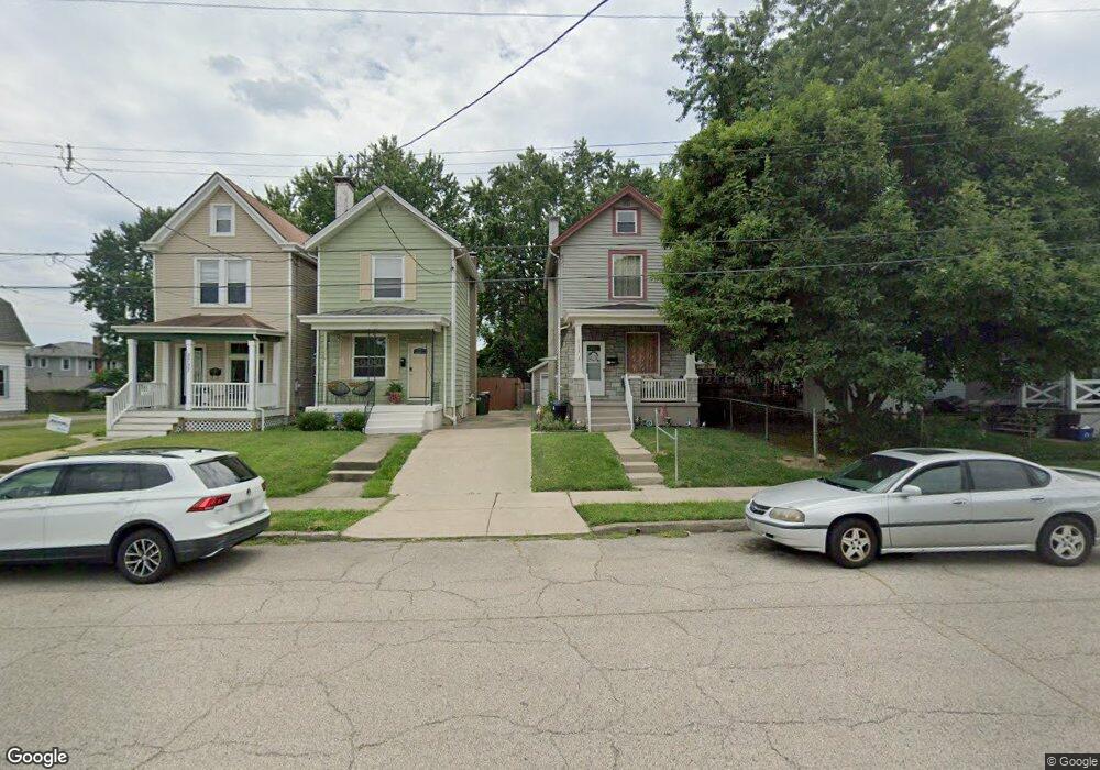
2733 Norwood Ave Cincinnati, OH 45212
Estimated Value: $185,488 - $211,000
3
Beds
1
Bath
896
Sq Ft
$220/Sq Ft
Est. Value
About This Home
This home is located at 2733 Norwood Ave, Cincinnati, OH 45212 and is currently estimated at $197,122, approximately $220 per square foot. 2733 Norwood Ave is a home located in Hamilton County with nearby schools including Norwood High School, Cornerstone Christian Academy, and Immaculate Conception Academy.
Ownership History
Date
Name
Owned For
Owner Type
Purchase Details
Closed on
Oct 31, 2003
Sold by
Jpl Properties
Bought by
Ivey Herbert W and Ivey Vivian J
Current Estimated Value
Home Financials for this Owner
Home Financials are based on the most recent Mortgage that was taken out on this home.
Original Mortgage
$66,000
Interest Rate
5.81%
Mortgage Type
Unknown
Purchase Details
Closed on
Aug 15, 2003
Sold by
Dale Roger Lee and Dale Janet
Bought by
Jpl Properties
Purchase Details
Closed on
Jan 10, 2001
Sold by
Whitaker Troy and Dale Roger
Bought by
Whitaker Troy and Whitaker Patricia
Purchase Details
Closed on
Nov 25, 1997
Sold by
Dale Roger and Dale Janet
Bought by
Whitaker Troy and Whitaker Patricia
Create a Home Valuation Report for This Property
The Home Valuation Report is an in-depth analysis detailing your home's value as well as a comparison with similar homes in the area
Home Values in the Area
Average Home Value in this Area
Purchase History
| Date | Buyer | Sale Price | Title Company |
|---|---|---|---|
| Ivey Herbert W | $73,500 | -- | |
| Jpl Properties | $40,000 | -- | |
| Whitaker Troy | -- | -- | |
| Whitaker Troy | $72,000 | -- |
Source: Public Records
Mortgage History
| Date | Status | Borrower | Loan Amount |
|---|---|---|---|
| Previous Owner | Ivey Herbert W | $66,000 |
Source: Public Records
Tax History Compared to Growth
Tax History
| Year | Tax Paid | Tax Assessment Tax Assessment Total Assessment is a certain percentage of the fair market value that is determined by local assessors to be the total taxable value of land and additions on the property. | Land | Improvement |
|---|---|---|---|---|
| 2024 | $1,673 | $43,264 | $6,192 | $37,072 |
| 2023 | $1,759 | $43,264 | $6,192 | $37,072 |
| 2022 | $1,290 | $29,729 | $4,690 | $25,039 |
| 2021 | $1,243 | $29,729 | $4,690 | $25,039 |
| 2020 | $1,257 | $29,729 | $4,690 | $25,039 |
| 2019 | $1,121 | $26,076 | $4,113 | $21,963 |
| 2018 | $1,123 | $26,076 | $4,113 | $21,963 |
| 2017 | $1,055 | $26,076 | $4,113 | $21,963 |
| 2016 | $627 | $18,778 | $4,137 | $14,641 |
| 2015 | $562 | $18,778 | $4,137 | $14,641 |
| 2014 | $563 | $18,778 | $4,137 | $14,641 |
| 2013 | $526 | $18,232 | $4,018 | $14,214 |
Source: Public Records
Map
Nearby Homes
- 2752 Norwood Ave
- 5018 Linden Ave
- 2344 Norwood Ave
- 4922 Marion Ave
- 2409 Kenilworth Ave
- 4923 Marion Ave
- 2726 Ida Ave
- 5435 Roseland Mound
- 4466 Water Oak Cir
- 5044 Wesley Ave
- 2905 Three Oaks Ln
- 2909 Three Oaks Ln
- 2923 Iron Oak Ave
- 4426 Canyon Oak Ct
- 4328 Eileen Dr
- 2926 Three Oaks Ln
- 2913 Three Oaks Ln
- Phoenix Plan at Foundry Park
- 2920 Three Oaks Ln
- Rosewood Plan at Foundry Park - Foundry at Three Oaks