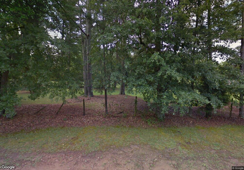
2733 Old Trace Mountain Brook, AL 35243
Estimated Value: $359,977 - $1,334,000
6
Beds
6
Baths
6,266
Sq Ft
$135/Sq Ft
Est. Value
About This Home
This home is located at 2733 Old Trace, Mountain Brook, AL 35243 and is currently estimated at $846,989, approximately $135 per square foot. 2733 Old Trace is a home located in Jefferson County with nearby schools including Mountain Brook Elementary School, Mt. Brook Junior High School, and Mt. Brook High School.
Ownership History
Date
Name
Owned For
Owner Type
Purchase Details
Closed on
Feb 7, 2025
Sold by
Smith Hamilton and Smith Christina
Bought by
Smith Christina
Current Estimated Value
Purchase Details
Closed on
Jan 20, 2020
Sold by
Southern Coal & Land Co Inc
Bought by
Powell Maude Ryding and Powell Arthur G
Purchase Details
Closed on
Jun 4, 2008
Sold by
Mortgage Electronic Registration Systems
Bought by
Southern Coal & Land Co Inc
Purchase Details
Closed on
Mar 15, 2005
Sold by
Smith Frederick B and Smith Mary Carol
Bought by
Forter Christopher
Home Financials for this Owner
Home Financials are based on the most recent Mortgage that was taken out on this home.
Original Mortgage
$650,000
Interest Rate
7.15%
Mortgage Type
Commercial
Create a Home Valuation Report for This Property
The Home Valuation Report is an in-depth analysis detailing your home's value as well as a comparison with similar homes in the area
Home Values in the Area
Average Home Value in this Area
Purchase History
| Date | Buyer | Sale Price | Title Company |
|---|---|---|---|
| Smith Christina | $344,000 | None Listed On Document | |
| Powell Maude Ryding | $825,000 | -- | |
| Southern Coal & Land Co Inc | $782,000 | None Available | |
| Forter Christopher | $812,500 | -- |
Source: Public Records
Mortgage History
| Date | Status | Borrower | Loan Amount |
|---|---|---|---|
| Previous Owner | Forter Christopher | $650,000 | |
| Closed | Forter Christopher | $162,500 |
Source: Public Records
Tax History Compared to Growth
Tax History
| Year | Tax Paid | Tax Assessment Tax Assessment Total Assessment is a certain percentage of the fair market value that is determined by local assessors to be the total taxable value of land and additions on the property. | Land | Improvement |
|---|---|---|---|---|
| 2024 | $14,998 | $137,600 | -- | -- |
| 2022 | $19,589 | $179,720 | $176,260 | $3,460 |
| 2021 | $11,678 | $107,140 | $103,680 | $3,460 |
| 2020 | $11,678 | $107,140 | $103,680 | $3,460 |
| 2019 | $10,607 | $107,140 | $0 | $0 |
| 2018 | $15,426 | $155,820 | $0 | $0 |
| 2017 | $14,605 | $147,520 | $0 | $0 |
| 2016 | $10,601 | $107,080 | $0 | $0 |
| 2015 | $10,601 | $107,080 | $0 | $0 |
| 2014 | $17,658 | $107,020 | $0 | $0 |
| 2013 | $17,658 | $107,020 | $0 | $0 |
Source: Public Records
Map
Nearby Homes
- 2722 Old Trace
- 4223 Old Brook Ln
- 4319 Old Brook Trail
- 3536 Tanglecreek Cir
- 1856 Rosemont Ln
- 2321 Saint Joseph Rd
- 2708 Abingdon Rd
- 2758 Rocky Ridge Rd Unit 1
- 1113 Glen Manor Dr
- 4441 Cahaba River Rd
- 2000 Rocky Brook Dr Unit 23
- 4473 Dolly Ridge Rd
- 4505 Cahaba River Rd
- 4040 Royal Oak Ct
- 131 West Green Unit 131
- 138 West Green Unit 138
- The Laurel Plan at Woodruff Cottages
- The Bellamy Plan at Woodruff Cottages
- The Hampton Plan at Woodruff Cottages
- The Iris Plan at Woodruff Cottages
- 2733 Old Trace Unit 1
- 2733 Old Trace Unit 24
- 2733 Old Trc Unit 1
- 0 Caldwell Mill Rd Unit LOT 1 A 417578
- 2729 Old Trace
- 4329 Caldwell Mill Rd
- 2721 Old Trace
- 2728 Old Trace
- 4341 Caldwell Mill Rd
- 2724 Old Trace
- 2717 Old Trc
- 2723 Old Trace
- 4343 Caldwell Mill Rd
- 2717 Old Trace
- 2713 Wynward Rd
- 4323 Caldwell Mill Rd
- 2713 Old Trace
- 2712 Old Trace
- 4310 Caldwell Mill Rd
