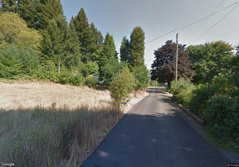
2733 Rudy Ross Rd Woodland, WA 98674
Estimated Value: $546,000 - $692,000
2
Beds
2
Baths
1,384
Sq Ft
$445/Sq Ft
Est. Value
About This Home
This home is located at 2733 Rudy Ross Rd, Woodland, WA 98674 and is currently estimated at $615,673, approximately $444 per square foot. 2733 Rudy Ross Rd is a home located in Cowlitz County with nearby schools including Woodland High School.
Ownership History
Date
Name
Owned For
Owner Type
Purchase Details
Closed on
Nov 9, 2012
Sold by
Kainu Arne V and Kainu Melinda Kaye
Bought by
2733 Rudy Ross Llc
Current Estimated Value
Purchase Details
Closed on
Nov 23, 2009
Sold by
Becker Roy E and Mollie M Bunting Living Trust
Bought by
Kainu Arne V and Kainu Melinda Kaye
Home Financials for this Owner
Home Financials are based on the most recent Mortgage that was taken out on this home.
Original Mortgage
$112,500
Interest Rate
4.88%
Mortgage Type
New Conventional
Create a Home Valuation Report for This Property
The Home Valuation Report is an in-depth analysis detailing your home's value as well as a comparison with similar homes in the area
Home Values in the Area
Average Home Value in this Area
Purchase History
| Date | Buyer | Sale Price | Title Company |
|---|---|---|---|
| 2733 Rudy Ross Llc | -- | None Available | |
| Kainu Arne V | $150,000 | Cowlitz County Title Company |
Source: Public Records
Mortgage History
| Date | Status | Borrower | Loan Amount |
|---|---|---|---|
| Previous Owner | Kainu Arne V | $112,500 |
Source: Public Records
Tax History Compared to Growth
Tax History
| Year | Tax Paid | Tax Assessment Tax Assessment Total Assessment is a certain percentage of the fair market value that is determined by local assessors to be the total taxable value of land and additions on the property. | Land | Improvement |
|---|---|---|---|---|
| 2024 | $5,366 | $580,930 | $189,500 | $391,430 |
| 2023 | $3,928 | $554,290 | $189,500 | $364,790 |
| 2022 | $5,008 | $554,790 | $161,960 | $392,830 |
| 2021 | $5,153 | $467,290 | $154,250 | $313,040 |
| 2020 | $4,352 | $458,580 | $154,140 | $304,440 |
| 2019 | $3,728 | $379,653 | $154,142 | $225,511 |
| 2018 | $4,100 | $343,880 | $154,140 | $189,740 |
| 2017 | $3,318 | $328,340 | $146,800 | $181,540 |
| 2016 | $3,146 | $290,120 | $135,930 | $154,190 |
| 2015 | $3,421 | $276,160 | $133,260 | $142,900 |
| 2013 | -- | $279,690 | $132,000 | $147,690 |
Source: Public Records
Map
Nearby Homes
- 3118 Heron St
- 3098 Heron St
- 3108 Heron St
- 2567 Lewis River Rd
- 4311 NW 419th St
- 2289 Mccracken Rd Unit LOT 2
- 2261 Ash St Unit 90
- 2254 Ash St Unit Lot 18
- 2242 Ash St Unit 20
- 3043 Salmon St
- 2251 Mccracken Rd Unit Lot 6
- The 2336 Plan at Alder and Ash
- The 1656 Plan at Alder and Ash
- The 2184 Plan at Alder and Ash
- The 2158 Plan at Alder and Ash
- The 2414 Plan at Alder and Ash
- The 1649 Plan at Alder and Ash
- The 1987 Plan at Alder and Ash
- The 1857 Plan at Alder and Ash
- The 2096 Plan at Alder and Ash
- 2727 Lewis River Rd
- 411 Raptor Ridge Dr
- 2721 Lewis River Rd
- 327 Raptor Ridge Dr
- 2743 Lewis River Rd
- 2715 Lewis River Rd
- 223 Raptor Ridge Dr
- 107 Rudy Ross Rd
- 220 Raptor Ridge Dr
- 336 Raptor Ridge Dr
- 2697 Lewis River Rd
- 198 Powell Rd
- 2738 Lewis River Rd
- 344 Raptor Ridge Dr
- 2801 Lewis River Rd
- 0 Raptor Ridge Dr Unit 1309722
- 0 Raptor Ridge Dr Unit 20035928
- 0 Raptor Ridge Dr Unit 19288985
- 0 Raptor Ridge Dr Unit 18096831
- 0 Raptor Ridge Dr Unit 19175405