27333 N Darrell Rd Wauconda, IL 60084
Slocum Lake NeighborhoodEstimated Value: $619,389 - $1,526,000
5
Beds
4
Baths
3,500
Sq Ft
$271/Sq Ft
Est. Value
About This Home
This home is located at 27333 N Darrell Rd, Wauconda, IL 60084 and is currently estimated at $948,796, approximately $271 per square foot. 27333 N Darrell Rd is a home located in Lake County with nearby schools including Cotton Creek School, Matthews Middle School, and Wauconda High School.
Ownership History
Date
Name
Owned For
Owner Type
Purchase Details
Closed on
Nov 23, 2016
Sold by
Chicago Title Land Trust Company
Bought by
Dato Yong I and Dato Han
Current Estimated Value
Purchase Details
Closed on
Jun 19, 2003
Sold by
Dato Yong
Bought by
The Chicago Trust Co and Trust #1112161
Purchase Details
Closed on
Mar 15, 2002
Sold by
Dato Michael
Bought by
Dato Yong Im
Purchase Details
Closed on
Jul 18, 2001
Sold by
Dato Thomas L and Dato Yong
Bought by
Dato Michael
Create a Home Valuation Report for This Property
The Home Valuation Report is an in-depth analysis detailing your home's value as well as a comparison with similar homes in the area
Home Values in the Area
Average Home Value in this Area
Purchase History
| Date | Buyer | Sale Price | Title Company |
|---|---|---|---|
| Dato Yong I | -- | Chicago Title Land Trust Co | |
| The Chicago Trust Co | -- | -- | |
| Dato Yong Im | -- | -- | |
| Dato Michael | -- | -- |
Source: Public Records
Tax History Compared to Growth
Tax History
| Year | Tax Paid | Tax Assessment Tax Assessment Total Assessment is a certain percentage of the fair market value that is determined by local assessors to be the total taxable value of land and additions on the property. | Land | Improvement |
|---|---|---|---|---|
| 2024 | $9,850 | $150,252 | $20,269 | $129,983 |
| 2023 | $10,635 | $137,600 | $18,500 | $119,100 |
| 2022 | $10,635 | $129,247 | $18,502 | $110,745 |
| 2021 | $7,009 | $122,206 | $17,422 | $104,784 |
| 2020 | $7,116 | $116,535 | $16,546 | $99,989 |
| 2019 | $6,623 | $110,222 | $15,584 | $94,638 |
| 2018 | $7,330 | $97,944 | $18,326 | $79,618 |
| 2017 | $7,359 | $96,772 | $18,043 | $78,729 |
| 2016 | $7,390 | $91,686 | $16,985 | $74,701 |
| 2015 | $7,465 | $84,373 | $15,568 | $68,805 |
| 2014 | $10,003 | $108,515 | $16,854 | $91,661 |
| 2012 | $11,388 | $110,349 | $17,118 | $93,231 |
Source: Public Records
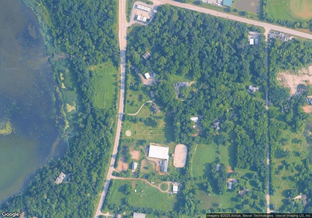
Map
Nearby Homes
- 27125 N Williams Park Rd
- 28094 E State Rd
- 4342 Shooting Star Dr Unit 142
- 4410 Shooting Star Ct
- 28490 W Main St
- 28373 W Main St
- 28379 W Main St
- 28406 W Park Ave
- 26814 N Genesee St
- 26958 N Ellen St
- 26769 N Genesee St
- 26822 N Ada St
- 26605 N Brooks St
- 27692 N Oak St
- 26824 N Poplar St
- 27569 N Beech St
- 27405 N Roberts Ln
- 651 W Liberty St Unit B
- 114 Maple St
- 29460 Roberts Rd
- 27342 N Williams Park Rd
- 27265 N Darrell Rd
- 27425 N Darrell Rd
- 27320 N Williams Park Rd
- 27205 N Darrell Rd
- 27392 N Williams Park Rd
- 27155 N Darrell Rd
- 27468 N Williams Park Rd
- LOT B N Williams Park Rd
- 27220 N Darrell Rd
- 27204 N Williams Park Rd
- 27407 N Williams Park Rd
- 27476 N Darrell Rd
- 27936 W Il Route 176 Rd
- 27156 N Williams Park Rd
- 27457 N Williams Park Rd
- 27095 N Darrell Rd
- 28070 E State Rd
- 27615 W Il Route 176
- 27090 N Williams Park Rd