2734 Laurel Oak Dr Unit 177 Howell, MI 48855
Estimated Value: $349,000 - $401,000
--
Bed
2
Baths
1,990
Sq Ft
$189/Sq Ft
Est. Value
About This Home
This home is located at 2734 Laurel Oak Dr Unit 177, Howell, MI 48855 and is currently estimated at $376,412, approximately $189 per square foot. 2734 Laurel Oak Dr Unit 177 is a home located in Livingston County with nearby schools including Ruahmah J. Hutchings Elementary, Parker Middle School, and Howell High School.
Ownership History
Date
Name
Owned For
Owner Type
Purchase Details
Closed on
Jul 19, 2002
Sold by
Udrys Gytis R and Udrys Gillian B
Bought by
Jurva Michael R and Jurva Sherryl L
Current Estimated Value
Purchase Details
Closed on
Mar 13, 2000
Sold by
Welch Construction Company
Bought by
Udrys Gytis R and Udrys Gillian B
Home Financials for this Owner
Home Financials are based on the most recent Mortgage that was taken out on this home.
Original Mortgage
$193,150
Interest Rate
8.3%
Mortgage Type
VA
Create a Home Valuation Report for This Property
The Home Valuation Report is an in-depth analysis detailing your home's value as well as a comparison with similar homes in the area
Home Values in the Area
Average Home Value in this Area
Purchase History
| Date | Buyer | Sale Price | Title Company |
|---|---|---|---|
| Jurva Michael R | $207,000 | Select Title | |
| Udrys Gytis R | $187,990 | American Title Co |
Source: Public Records
Mortgage History
| Date | Status | Borrower | Loan Amount |
|---|---|---|---|
| Previous Owner | Udrys Gytis R | $193,150 |
Source: Public Records
Tax History Compared to Growth
Tax History
| Year | Tax Paid | Tax Assessment Tax Assessment Total Assessment is a certain percentage of the fair market value that is determined by local assessors to be the total taxable value of land and additions on the property. | Land | Improvement |
|---|---|---|---|---|
| 2025 | $1,626 | $172,400 | $0 | $0 |
| 2024 | $1,580 | $168,200 | $0 | $0 |
| 2023 | $1,509 | $150,900 | $0 | $0 |
| 2022 | $694 | $125,000 | $0 | $0 |
| 2021 | $2,090 | $131,800 | $0 | $0 |
| 2020 | $2,114 | $125,000 | $0 | $0 |
| 2019 | $2,084 | $114,500 | $0 | $0 |
| 2018 | $2,058 | $108,200 | $0 | $0 |
| 2017 | $2,031 | $104,700 | $0 | $0 |
| 2016 | $2,020 | $100,600 | $0 | $0 |
| 2014 | $2,242 | $85,800 | $0 | $0 |
| 2012 | $2,242 | $79,200 | $0 | $0 |
Source: Public Records
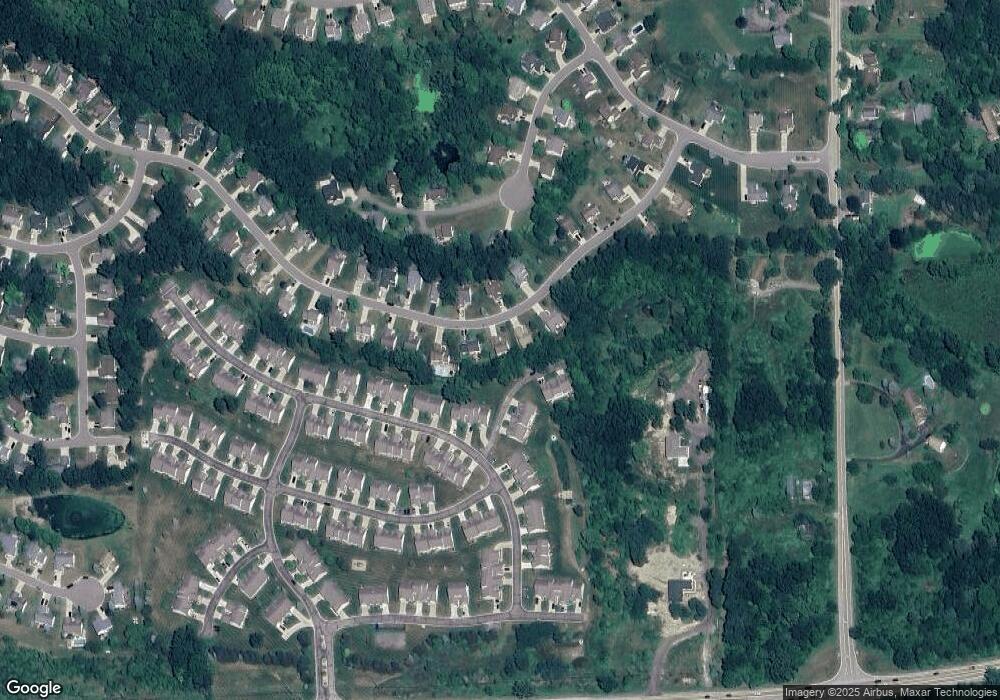
Map
Nearby Homes
- 2511 Kerria Dr Unit 42
- 1570 Princewood Blvd
- 1633 Frech Ln
- 1400 Oakcrest Rd
- 2495 Moore Place
- 3040 Bogues View Dr
- 475 Cannonade Loop
- The Austin Plan at Broadmoor
- The Charlotte Plan at Broadmoor
- The Harrison Plan at Broadmoor
- The Bloomington Plan at Broadmoor
- The Columbia Plan at Broadmoor
- 571 Cannonade Loop
- 523 Cannonade Loop
- 583 Cannonade Loop
- VACANT LOT Thompson Shore Dr
- 3224 Waverly Woods Ln
- 3227 Waverly Woods Ln
- 2653 Ravine Side N
- 2932 Bogue Creek Dr
- 2716 Laurel Oak Dr Unit 178
- 2752 Laurel Oak Dr
- 2737 Laurel Oak Dr Unit 159
- 2713 Laurel Oak Dr Unit 158
- 2698 Laurel Oak Dr Unit 179
- 2615 Kerria Dr Unit 60
- 2770 Laurel Oak Dr
- 2611 Kerria Dr Unit 59
- 2605 Kerria Dr
- 2605 Kerria Dr Unit 58
- 2599 Kerria Dr Unit 57
- 2595 Kerria Dr Unit 56
- 2771 Laurel Oak Dr Unit 160
- 2623 Kerria Dr Unit 61
- 2627 Kerria Dr Unit 62
- 2695 Laurel Oak Dr Unit 157
- 2631 Kerria Dr Unit 63
- 2589 Kerria Dr Unit 55
- 2680 Laurel Oak Dr
- 2583 Kerria Dr Unit 54