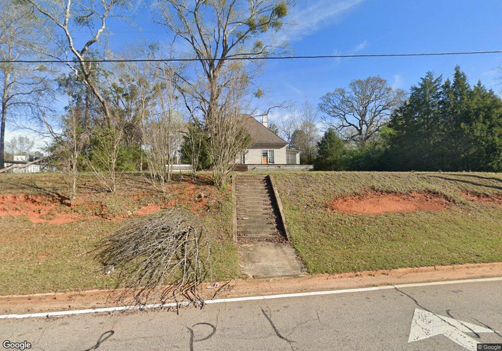
2734 Roanoke Rd Lagrange, GA 30240
Estimated Value: $187,000 - $321,000
2
Beds
1
Bath
2,202
Sq Ft
$119/Sq Ft
Est. Value
About This Home
This home is located at 2734 Roanoke Rd, Lagrange, GA 30240 and is currently estimated at $261,009, approximately $118 per square foot. 2734 Roanoke Rd is a home located in Troup County with nearby schools including Ethel W. Kight Elementary School, Hollis Hand Elementary School, and Franklin Forest Elementary School.
Ownership History
Date
Name
Owned For
Owner Type
Purchase Details
Closed on
Mar 18, 2025
Sold by
Neely Harriet Herring
Bought by
Neely Charles Stephen
Current Estimated Value
Purchase Details
Closed on
Jun 11, 2007
Sold by
Neely Charles S
Bought by
Griffin Vinson T
Purchase Details
Closed on
Oct 19, 1992
Sold by
Neely Charlie and Neely Harriet R
Bought by
Neely Charles and Neely Harriet H
Purchase Details
Closed on
Oct 24, 1987
Sold by
Pike Lucile W
Bought by
Neely Charlie and Neely Harriet R
Purchase Details
Closed on
Oct 1, 1987
Sold by
Pike Pike W and Pike Lucile W
Bought by
Pike Lucile W
Purchase Details
Closed on
May 20, 1976
Bought by
Pike Pike W and Pike Lucile W
Create a Home Valuation Report for This Property
The Home Valuation Report is an in-depth analysis detailing your home's value as well as a comparison with similar homes in the area
Home Values in the Area
Average Home Value in this Area
Purchase History
| Date | Buyer | Sale Price | Title Company |
|---|---|---|---|
| Neely Charles Stephen | -- | -- | |
| Griffin Vinson T | $90,000 | -- | |
| Neely Charles | -- | -- | |
| Neely Charlie | $80,000 | -- | |
| Pike Lucile W | -- | -- | |
| Pike Pike W | -- | -- |
Source: Public Records
Tax History Compared to Growth
Tax History
| Year | Tax Paid | Tax Assessment Tax Assessment Total Assessment is a certain percentage of the fair market value that is determined by local assessors to be the total taxable value of land and additions on the property. | Land | Improvement |
|---|---|---|---|---|
| 2024 | $2,735 | $100,280 | $30,000 | $70,280 |
| 2023 | $2,467 | $90,440 | $30,000 | $60,440 |
| 2022 | $2,401 | $86,040 | $30,000 | $56,040 |
| 2021 | $2,457 | $81,480 | $30,000 | $51,480 |
| 2020 | $2,199 | $72,920 | $30,000 | $42,920 |
| 2019 | $2,251 | $74,640 | $30,000 | $44,640 |
| 2018 | $2,128 | $70,560 | $30,000 | $40,560 |
| 2017 | $2,128 | $70,560 | $30,000 | $40,560 |
| 2016 | $2,112 | $70,024 | $30,000 | $40,024 |
| 2015 | $2,115 | $70,024 | $30,000 | $40,024 |
| 2014 | $2,055 | $67,917 | $30,000 | $37,917 |
| 2013 | -- | $70,056 | $30,000 | $40,056 |
Source: Public Records
Map
Nearby Homes
- 146 Whitaker Rd
- 117 Brookwood Dr
- 223 Pinehaven Dr
- 37 Overbrook Dr
- 104 Spring Valley Dr
- 509 Connie Dr
- 243 Oak Dr
- 200 Cheyenne Dr
- 141 Avery Dr
- E Angela Dr
- 190 Hill Rd
- 0 Bradfield Dr Unit 10568803
- LOT 4 Angela Dr
- 0 Unit 10514554
- 808 S Fling Rd
- 208 Highland Trail
- 124 Foxdale Dr
- 102 Foxdale Dr
- 212 Aster Way
- 100 Huntcliff Ct
- 2727 Roanoke Rd
- 2725 Roanoke Rd
- 0 Whitaker Rd Unit 8658073
- 0 Whitaker Rd Unit 8562509
- 0 Whitaker Rd Unit 8512537
- 0 Whitaker Rd Unit 8430129
- 0 Whitaker Rd Unit 8158498
- 0 Whitaker Rd Unit 8059367
- 0 Whitaker Rd Unit 8505885
- 0 Whitaker Rd Unit 2887474
- 0 Whitaker Rd Unit 3137676
- 0 Whitaker Rd Unit 8394802
- 0 Whitaker Rd Unit 7551907
- 0 Whitaker Rd Unit 9023834
- 0 Whitaker Rd Unit 8826970
- 0 Whitaker Rd Unit 2713776
- 0 Whitaker Rd Unit 7101498
- 0 Whitaker Rd Unit 7122157
- 0 Whitaker Rd Unit 7286265
- 0 Whitaker Rd Unit 7402810