27349 Rest Cir Easton, MD 21601
Estimated Value: $1,309,000 - $1,914,000
--
Bed
3
Baths
2,715
Sq Ft
$602/Sq Ft
Est. Value
About This Home
This home is located at 27349 Rest Cir, Easton, MD 21601 and is currently estimated at $1,633,308, approximately $601 per square foot. 27349 Rest Cir is a home located in Talbot County with nearby schools including St. Michaels Elementary School, St. Michaels Middle/High School, and Easton High School.
Ownership History
Date
Name
Owned For
Owner Type
Purchase Details
Closed on
Mar 1, 2010
Sold by
Todd Elizabeth W
Bought by
Whelan E Stephen
Current Estimated Value
Purchase Details
Closed on
Mar 10, 1988
Sold by
Wolf Howard C and Wolf Elizabeth H
Bought by
Abell Arunah S
Purchase Details
Closed on
Jan 3, 1984
Sold by
Carr Edward R
Bought by
Wolf Howard C and Wolf Elizabeth H
Home Financials for this Owner
Home Financials are based on the most recent Mortgage that was taken out on this home.
Original Mortgage
$100,000
Interest Rate
13.43%
Create a Home Valuation Report for This Property
The Home Valuation Report is an in-depth analysis detailing your home's value as well as a comparison with similar homes in the area
Home Values in the Area
Average Home Value in this Area
Purchase History
| Date | Buyer | Sale Price | Title Company |
|---|---|---|---|
| Whelan E Stephen | -- | -- | |
| Abell Arunah S | $474,000 | -- | |
| Wolf Howard C | $295,000 | -- |
Source: Public Records
Mortgage History
| Date | Status | Borrower | Loan Amount |
|---|---|---|---|
| Previous Owner | Wolf Howard C | $100,000 |
Source: Public Records
Tax History Compared to Growth
Tax History
| Year | Tax Paid | Tax Assessment Tax Assessment Total Assessment is a certain percentage of the fair market value that is determined by local assessors to be the total taxable value of land and additions on the property. | Land | Improvement |
|---|---|---|---|---|
| 2025 | $9,135 | $1,037,200 | $0 | $0 |
| 2024 | $9,135 | $1,013,900 | $704,000 | $309,900 |
| 2023 | $8,451 | $989,500 | $0 | $0 |
| 2022 | $7,657 | $965,100 | $0 | $0 |
| 2021 | $7,228 | $940,700 | $640,000 | $300,700 |
| 2020 | $7,048 | $940,700 | $640,000 | $300,700 |
| 2019 | $7,048 | $940,700 | $640,000 | $300,700 |
| 2018 | $7,151 | $987,500 | $704,000 | $283,500 |
| 2017 | $6,803 | $987,500 | $0 | $0 |
| 2016 | $7,027 | $987,500 | $0 | $0 |
| 2015 | $6,962 | $1,084,100 | $0 | $0 |
| 2014 | $6,962 | $1,084,100 | $0 | $0 |
Source: Public Records
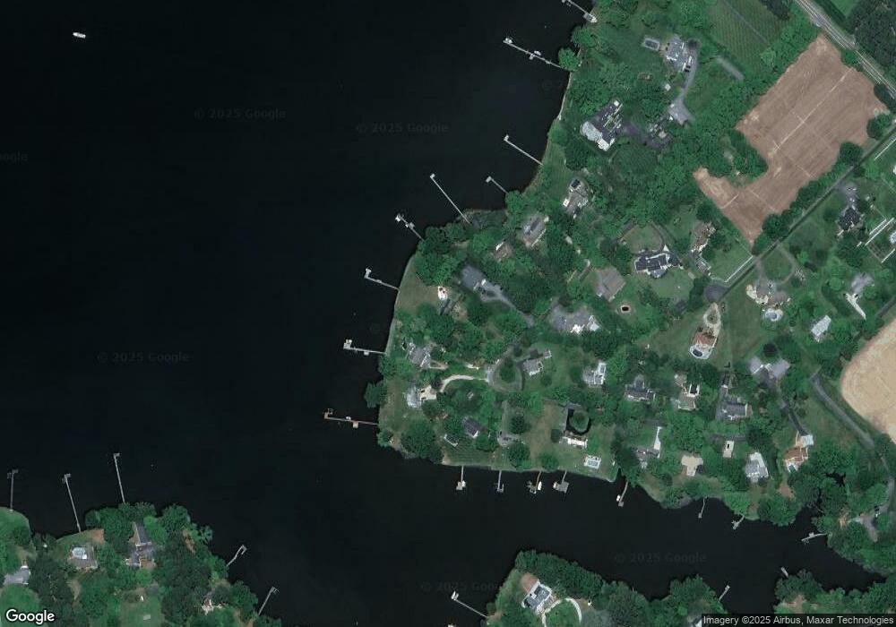
Map
Nearby Homes
- 27240 Hayward Trail
- 27232 Hayward Trail
- 0 Unionville Rd Unit MDTA2008824
- 28092 Glebe Rd
- 9361 Woodstock Ln
- 28309 Village Lake Way
- 8210 Ingleton Cir
- 8095 N Fork Blvd
- 8014 Easton Village Dr
- 0 Lot 16 N Unit MDTA2012070
- 26698 Arcadia Shores Rd
- 66 Johnson St
- 7852 Woodland Cir
- 7605 Pendleton Farm Ln
- 28028 Playtor Rd
- 222 W Dover St
- 220 W Dover St
- 28522 Waterview Dr
- 305 Port St
- 304 Wheatley Dr
- 27345 Rest Cir
- 27353 Rest Cir
- 27341 Rest Cir
- 27357 Rest Cir
- 27370 Rest Cir
- 27361 Rest Cir
- 27337 Rest Cir
- 27365 Rest Cir
- 27342 Rest Cir
- 27390 Rest Cir
- 27338 Rest Cir
- 27333 Rest Cir
- 27387 Rest Cir
- 27406 Rest Cir
- 27332 Rest Cir
- 27435 Wrights Rest Ln
- 27415 Rest Cir
- 27422 Rest Cir
- 27329 Rest Cir
- 27330 Rest Cir