Estimated Value: $690,000
--
Bed
2
Baths
1,056
Sq Ft
$653/Sq Ft
Est. Value
About This Home
This home is located at 2735 N Holly St, Canby, OR 97013 and is currently estimated at $690,000, approximately $653 per square foot. 2735 N Holly St is a home located in Clackamas County with nearby schools including Josefa L. Sambrano Elementary School, Baker Prairie Middle School, and Canby High School.
Ownership History
Date
Name
Owned For
Owner Type
Purchase Details
Closed on
Jun 3, 2020
Sold by
Mitchell Suzanne R and Mitchell Henry J
Bought by
Mitchell Suzanne R and Mitchell Henry J
Current Estimated Value
Purchase Details
Closed on
May 7, 2020
Sold by
Mitchell Suzanne R and Saly Ann Lamain Trust
Bought by
Mitchell Suzanne R and Mitchell Henry J
Purchase Details
Closed on
Jul 27, 2010
Sold by
Grannys Land Limited Partnership
Bought by
Lamain Sally Ann and The Sally Ann Lamain Trust
Create a Home Valuation Report for This Property
The Home Valuation Report is an in-depth analysis detailing your home's value as well as a comparison with similar homes in the area
Home Values in the Area
Average Home Value in this Area
Purchase History
| Date | Buyer | Sale Price | Title Company |
|---|---|---|---|
| Mitchell Suzanne R | -- | None Available | |
| Mitchell Suzanne R | -- | None Available | |
| Lamain Sally Ann | -- | None Available |
Source: Public Records
Tax History Compared to Growth
Tax History
| Year | Tax Paid | Tax Assessment Tax Assessment Total Assessment is a certain percentage of the fair market value that is determined by local assessors to be the total taxable value of land and additions on the property. | Land | Improvement |
|---|---|---|---|---|
| 2025 | $659 | $46,071 | -- | -- |
| 2024 | $643 | $44,851 | -- | -- |
| 2023 | $643 | $43,666 | $0 | $0 |
| 2022 | $591 | $42,514 | $0 | $0 |
| 2021 | $570 | $41,391 | $0 | $0 |
| 2020 | $563 | $40,304 | $0 | $0 |
| 2019 | $535 | $39,249 | $0 | $0 |
| 2018 | $525 | $38,227 | $0 | $0 |
| 2017 | $514 | $37,227 | $0 | $0 |
| 2016 | $498 | $36,263 | $0 | $0 |
| 2015 | $482 | $35,321 | $0 | $0 |
| 2014 | $470 | $34,413 | $0 | $0 |
Source: Public Records
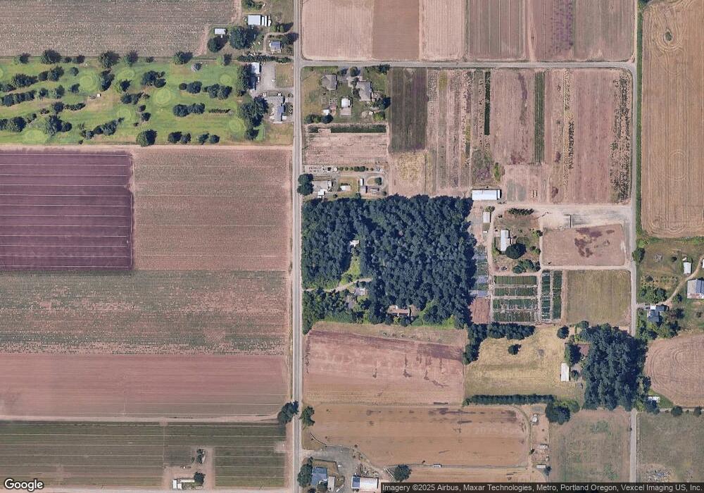
Map
Nearby Homes
- 2152 N Laurelwood St
- 660 NE 20th Ave
- 1721 N Hyssop St
- 1751 N Laurelwood Loop
- 1614 NW 16th Ave
- 1165 NW 22nd Ave
- 1151 NW 22nd Ave
- 1199 NW 22nd Ave
- 312 NE 14th Ave
- 832 NE 17th Ave
- 1200 NE Territorial Rd Unit 93
- 844 NE 17th Ave
- 853 NE 17th Ave
- 1750 N Oak St
- 187 NE 14th Ave
- 878 NE 17th Ave
- 952 NE 17th Ave
- 947 NE 17th Ave
- 1009 NE 17th Ave
- 860 NE 14th Ave
- 2696 N Holly St
- 2797 N Locust St
- 2860 N Holly St
- 2512 N Holly St
- 2661 N Locust St
- 177 NW 31st Ave
- 2965 N Holly St
- 2700 N Locust St
- 2445 N Holly St
- 1700 N Hyssop St
- 1915 N Ivy St
- 2465 N Locust St
- 2393 N Locust St
- 3019 N Holly St
- 2305 N Locust St
- 2442 N Locust St
- 162 NE 22nd Ave
- 2366 N Locust St
- 2590 N Locust St
- 168 NE 22nd Ave