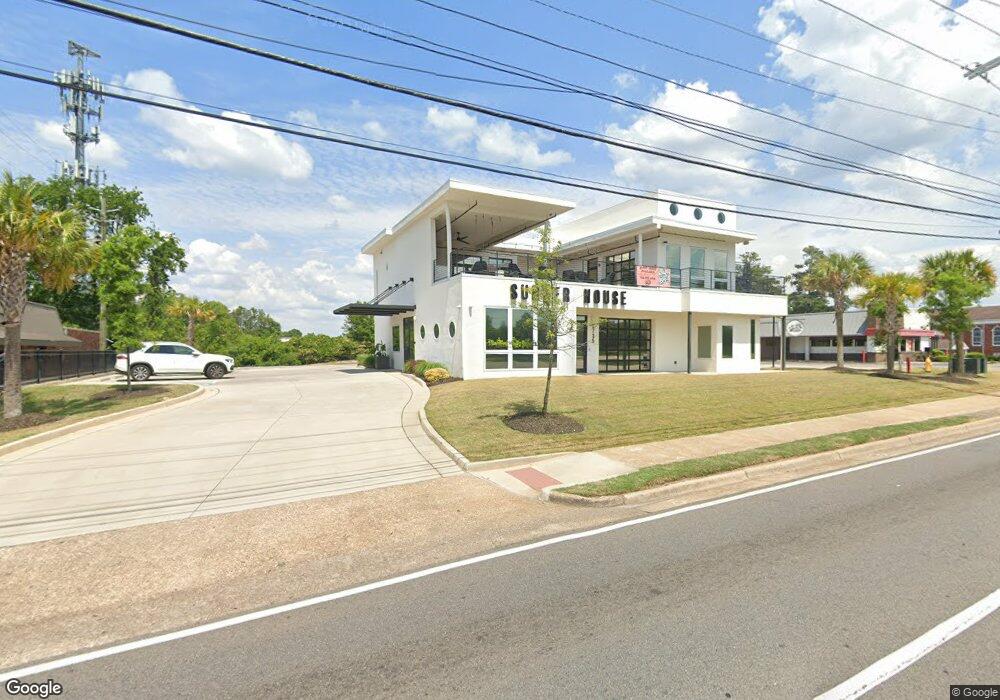
2735 Washington Rd Augusta, GA 30909
National Hills NeighborhoodEstimated Value: $1,049,751
--
Bed
--
Bath
2,292
Sq Ft
$458/Sq Ft
Est. Value
About This Home
This home is located at 2735 Washington Rd, Augusta, GA 30909 and is currently estimated at $1,049,751, approximately $458 per square foot. 2735 Washington Rd is a home located in Richmond County with nearby schools including Garrett Elementary School, Tutt Middle School, and Johnson Magnet.
Ownership History
Date
Name
Owned For
Owner Type
Purchase Details
Closed on
Oct 19, 2018
Sold by
Knudsen Hilde Y
Bought by
I P Holdings Grp Llc
Current Estimated Value
Home Financials for this Owner
Home Financials are based on the most recent Mortgage that was taken out on this home.
Original Mortgage
$500,000
Interest Rate
4.6%
Mortgage Type
New Conventional
Purchase Details
Closed on
May 3, 2016
Sold by
Knudsen James M
Bought by
Knudsen Hilde Y
Create a Home Valuation Report for This Property
The Home Valuation Report is an in-depth analysis detailing your home's value as well as a comparison with similar homes in the area
Home Values in the Area
Average Home Value in this Area
Purchase History
| Date | Buyer | Sale Price | Title Company |
|---|---|---|---|
| I P Holdings Grp Llc | $625,000 | -- | |
| Knudsen Hilde Y | -- | -- |
Source: Public Records
Mortgage History
| Date | Status | Borrower | Loan Amount |
|---|---|---|---|
| Closed | I P Holdings Grp Llc | $500,000 |
Source: Public Records
Tax History Compared to Growth
Tax History
| Year | Tax Paid | Tax Assessment Tax Assessment Total Assessment is a certain percentage of the fair market value that is determined by local assessors to be the total taxable value of land and additions on the property. | Land | Improvement |
|---|---|---|---|---|
| 2024 | $17,180 | $503,139 | $131,723 | $371,416 |
| 2023 | $14,544 | $591,631 | $131,723 | $459,908 |
| 2022 | $10,521 | $353,117 | $131,723 | $221,394 |
| 2021 | $11,395 | $353,117 | $131,723 | $221,394 |
| 2020 | $4,079 | $131,723 | $131,723 | $0 |
| 2019 | $5,204 | $157,517 | $131,723 | $25,794 |
| 2018 | $5,246 | $157,517 | $131,723 | $25,794 |
| 2017 | $5,110 | $157,517 | $131,723 | $25,794 |
| 2016 | $5,425 | $157,517 | $131,723 | $25,794 |
| 2015 | $5,467 | $157,517 | $131,723 | $25,794 |
| 2014 | $5,474 | $157,517 | $131,723 | $25,794 |
Source: Public Records
Map
Nearby Homes
- 2006 Glennfield Ln
- 2514 Commons Trace
- 2705 Bolling Rd
- 2805 Brickrun Way
- 1060 Bertram Rd
- 1058 Bertram Rd
- 1056 Bertram Rd
- 2004 Destin Ln
- 2008 Helmsdale Ln
- 2023 Summer Valley Way
- 1208 Oakdale Rd
- 2716 Springwood Dr
- 2609 Sherborne Ct
- 2704 Springwood Dr
- 2918 Arrowhead Dr
- 2415 Apricot Ln
- 2171 River Park Ct
- 2512 Castlewood Dr
- 2531 Tupelo Dr
- 2416 Forest Park Rd
- 1079 Beverly Dr
- 1086 Alexander Dr
- 1011 River Ridge Dr
- 1011 River Ridge Dr
- 1078 Alexander Dr
- 1009 River Ridge Dr
- 1076 Alexander Dr
- 2002 Glennfield Ln
- 1013 River Ridge Dr
- 2004 Glennfield Ln
- 1016 Brookwood Dr
- 2009 Glenfield Ln
- 2001 Glennfield Ln
- 1017 Brookwood Dr
- 2008 Glennfield Ln
- 1107 Stanley Dr
- 1015 River Ridge Dr
- 2003 Glennfield Ln
- 2010 Glennfield Ln
- 2005 Glennfield Ln