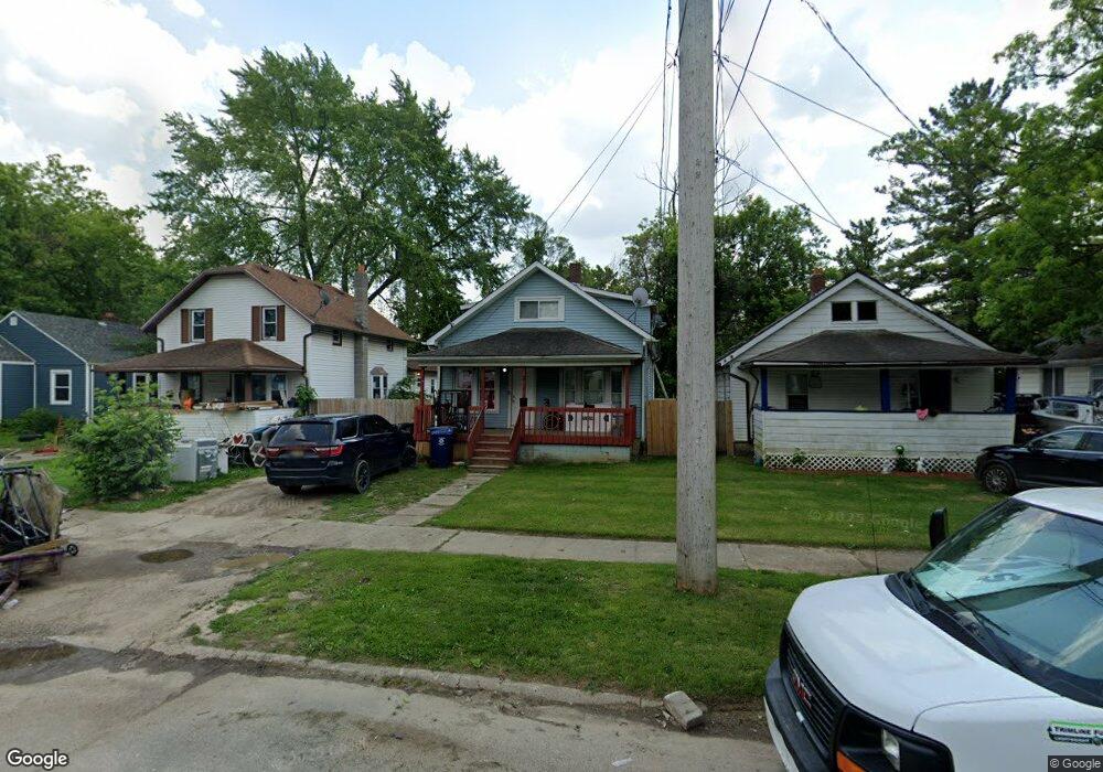
2737 Brown St Flint, MI 48503
Southwest Flint NeighborhoodEstimated Value: $38,000 - $62,484
4
Beds
2
Baths
1,080
Sq Ft
$48/Sq Ft
Est. Value
About This Home
This home is located at 2737 Brown St, Flint, MI 48503 and is currently estimated at $51,371, approximately $47 per square foot. 2737 Brown St is a home located in Genesee County with nearby schools including Eisenhower School, Flint Southwestern Classical Academy, and St. Paul Lutheran School.
Ownership History
Date
Name
Owned For
Owner Type
Purchase Details
Closed on
Dec 28, 2022
Sold by
Bennett Cameron
Bought by
Amador Raydel
Current Estimated Value
Purchase Details
Closed on
Dec 14, 2021
Sold by
Zang Corporation
Bought by
Bennett Cameron
Purchase Details
Closed on
Dec 17, 2015
Sold by
Genesee County
Bought by
Genesee County Land Bank
Purchase Details
Closed on
Mar 22, 2006
Sold by
Gray Robert S
Bought by
Gray Robert S
Purchase Details
Closed on
Mar 4, 2002
Sold by
Gray Lester
Bought by
Gray Lester and Revocable Living Trust Agreement Of Lest
Create a Home Valuation Report for This Property
The Home Valuation Report is an in-depth analysis detailing your home's value as well as a comparison with similar homes in the area
Home Values in the Area
Average Home Value in this Area
Purchase History
| Date | Buyer | Sale Price | Title Company |
|---|---|---|---|
| Amador Raydel | $2,000 | Cislo Title | |
| Bennett Cameron | $12,500 | None Listed On Document | |
| Genesee County Land Bank | -- | None Available | |
| Gray Robert S | -- | None Available | |
| Gray Lester | -- | -- |
Source: Public Records
Tax History
| Year | Tax Paid | Tax Assessment Tax Assessment Total Assessment is a certain percentage of the fair market value that is determined by local assessors to be the total taxable value of land and additions on the property. | Land | Improvement |
|---|---|---|---|---|
| 2025 | $1,262 | $19,500 | $0 | $0 |
| 2024 | $1,160 | $19,500 | $0 | $0 |
| 2023 | $1,141 | $14,200 | $0 | $0 |
| 2022 | $0 | $12,200 | $0 | $0 |
| 2021 | $1,053 | $11,100 | $0 | $0 |
| 2020 | $986 | $9,900 | $0 | $0 |
| 2019 | $804 | $8,900 | $0 | $0 |
| 2018 | $784 | $8,200 | $0 | $0 |
| 2017 | $765 | $0 | $0 | $0 |
| 2016 | $0 | $0 | $0 | $0 |
| 2015 | -- | $0 | $0 | $0 |
| 2014 | -- | $0 | $0 | $0 |
| 2012 | -- | $10,400 | $0 | $0 |
Source: Public Records
Map
Nearby Homes
- 1114 Clancy Ave
- 2618 Brown St
- 2805 Reynolds St
- 2608 Cumings Ave
- 2729 Chicago Blvd
- 2537 Swayze St
- 1202 Knapp Ave
- 2509 Corunna Rd
- 2624 Miller Rd
- 1017 Stocker Ave
- 1122 Stocker Ave
- 2433 Brown St
- 2429 Brown St
- 2464 Gibson St
- 932 Bradley Ave
- 2663 W Court St
- 3217 Arlene Ave
- 2410 Corunna Rd
- 911 Hughes Ave
- 3317 Arlene Ave
Your Personal Tour Guide
Ask me questions while you tour the home.