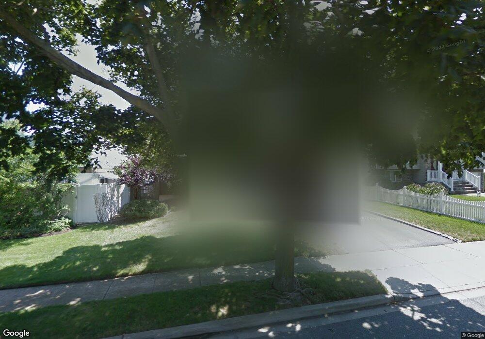
2737 Covered Bridge Rd Merrick, NY 11566
Estimated Value: $913,000 - $952,783
3
Beds
3
Baths
1,270
Sq Ft
$735/Sq Ft
Est. Value
About This Home
This home is located at 2737 Covered Bridge Rd, Merrick, NY 11566 and is currently estimated at $932,892, approximately $734 per square foot. 2737 Covered Bridge Rd is a home located in Nassau County with nearby schools including Burcham Elementary School, Merrick Avenue Middle School, and John F. Kennedy High School.
Ownership History
Date
Name
Owned For
Owner Type
Purchase Details
Closed on
May 17, 2021
Sold by
Marcus Arthur S and Marcus Maureen
Bought by
Niwinski Megan and Niwinski Christopher
Current Estimated Value
Home Financials for this Owner
Home Financials are based on the most recent Mortgage that was taken out on this home.
Original Mortgage
$592,000
Outstanding Balance
$536,667
Interest Rate
3.12%
Mortgage Type
New Conventional
Estimated Equity
$396,225
Purchase Details
Closed on
Jan 22, 1999
Purchase Details
Closed on
Sep 28, 1995
Sold by
Mccaw Richard and Mccaw Janis
Bought by
Marcus Arthur
Home Financials for this Owner
Home Financials are based on the most recent Mortgage that was taken out on this home.
Original Mortgage
$203,150
Interest Rate
7.71%
Create a Home Valuation Report for This Property
The Home Valuation Report is an in-depth analysis detailing your home's value as well as a comparison with similar homes in the area
Home Values in the Area
Average Home Value in this Area
Purchase History
| Date | Buyer | Sale Price | Title Company |
|---|---|---|---|
| Niwinski Megan | $740,000 | Old Republic National Title | |
| -- | -- | -- | |
| Marcus Arthur | $260,000 | -- |
Source: Public Records
Mortgage History
| Date | Status | Borrower | Loan Amount |
|---|---|---|---|
| Open | Niwinski Megan | $592,000 | |
| Previous Owner | Marcus Arthur | $203,150 |
Source: Public Records
Tax History Compared to Growth
Tax History
| Year | Tax Paid | Tax Assessment Tax Assessment Total Assessment is a certain percentage of the fair market value that is determined by local assessors to be the total taxable value of land and additions on the property. | Land | Improvement |
|---|---|---|---|---|
| 2025 | $17,818 | $627 | $269 | $358 |
| 2024 | $4,058 | $592 | $265 | $327 |
| 2023 | $16,615 | $601 | $269 | $332 |
| 2022 | $16,615 | $585 | $258 | $327 |
| 2021 | $23,085 | $562 | $248 | $314 |
| 2020 | $16,417 | $821 | $672 | $149 |
| 2019 | $3,818 | $821 | $525 | $296 |
| 2018 | $9,366 | $1,050 | $0 | $0 |
| 2017 | $10,656 | $1,050 | $672 | $378 |
| 2016 | $15,149 | $1,050 | $672 | $378 |
| 2015 | $4,167 | $1,050 | $672 | $378 |
| 2014 | $4,167 | $1,050 | $672 | $378 |
| 2013 | $3,943 | $1,050 | $672 | $378 |
Source: Public Records
Map
Nearby Homes
- 2704 Beach Dr
- 48 Rosebud Ave
- 2 Dorothy Ct
- 60 Montauk Ave
- 31 Alice St
- 2848 Clubhouse Rd
- 1825 Alice St
- 1749 Ann Rd
- 2872 Rosebud Ave
- 2729 Shore Dr
- 2959 Clubhouse Rd
- 174 Babylon Turnpike
- 1945 Byron Rd
- 1952 Julian Ln
- 2970 Bond Dr
- 12 Westmoreland Rd
- 1763 E Berkshire Rd
- 2903 Preston Ln
- 2988 Bond Dr
- 2819 Harbor Rd
- 2743 Covered Bridge Rd
- 1700 Florence St
- 2736 Riverside Ave
- 2742 Riverside Ave
- 2749 Covered Bridge Rd
- 1720 Florence St
- 2734 Covered Bridge Rd
- 2748 Riverside Ave
- 2740 Covered Bridge Rd
- 2728 Covered Bridge Rd
- 2746 Covered Bridge Rd
- 2755 Covered Bridge Rd
- 1721 Florence St
- 2754 Riverside Ave
- 2720 Covered Bridge Rd
- 2756 Covered Bridge Rd
- 2685 Riverside Ave
- 2702 Riverside Ave
- 2761 Covered Bridge Rd
- 2735 Riverside Ave