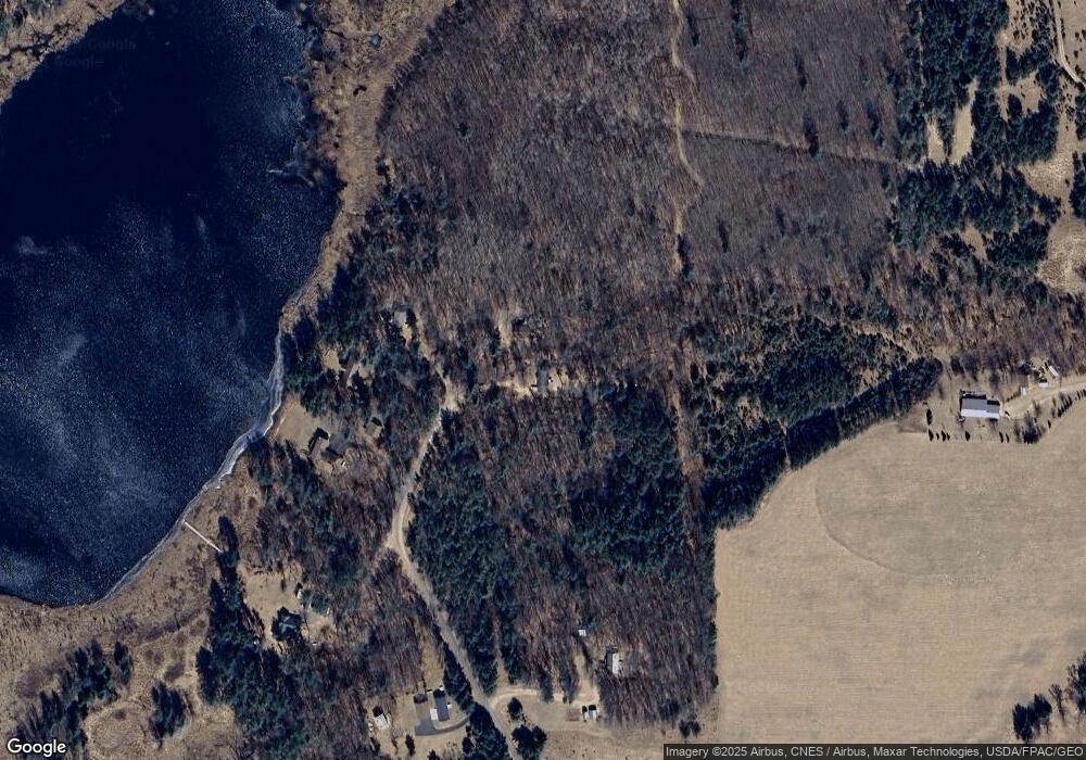
27384 Earl William Dr Webster, WI 54893
Estimated Value: $233,000 - $324,000
Studio
--
Bath
--
Sq Ft
1.5
Acres
About This Home
This home is located at 27384 Earl William Dr, Webster, WI 54893 and is currently estimated at $261,959. 27384 Earl William Dr is a home located in Burnett County with nearby schools including Webster Elementary School, Webster Middle School, and Webster High School.
Ownership History
Date
Name
Owned For
Owner Type
Purchase Details
Closed on
Aug 23, 2017
Sold by
Becker Gerald A
Bought by
Marazzo William R and Marazzo Karen M
Current Estimated Value
Home Financials for this Owner
Home Financials are based on the most recent Mortgage that was taken out on this home.
Original Mortgage
$138,000
Outstanding Balance
$114,042
Interest Rate
3.96%
Mortgage Type
VA
Estimated Equity
$147,917
Create a Home Valuation Report for This Property
The Home Valuation Report is an in-depth analysis detailing your home's value as well as a comparison with similar homes in the area
Purchase History
| Date | Buyer | Sale Price | Title Company |
|---|---|---|---|
| Marazzo William R | -- | Pillar Title Services |
Source: Public Records
Mortgage History
| Date | Status | Borrower | Loan Amount |
|---|---|---|---|
| Open | Marazzo William R | $138,000 |
Source: Public Records
Tax History
| Year | Tax Paid | Tax Assessment Tax Assessment Total Assessment is a certain percentage of the fair market value that is determined by local assessors to be the total taxable value of land and additions on the property. | Land | Improvement |
|---|---|---|---|---|
| 2025 | $1,399 | $217,500 | $10,600 | $206,900 |
| 2024 | $1,497 | $120,200 | $6,300 | $113,900 |
| 2023 | $1,378 | $120,200 | $6,300 | $113,900 |
| 2022 | $1,183 | $120,200 | $6,300 | $113,900 |
| 2021 | $1,184 | $120,200 | $6,300 | $113,900 |
| 2020 | $1,263 | $120,200 | $6,300 | $113,900 |
| 2019 | $1,204 | $120,200 | $6,300 | $113,900 |
| 2018 | $1,267 | $120,200 | $6,300 | $113,900 |
| 2017 | $1,316 | $120,200 | $6,300 | $113,900 |
| 2016 | $1,323 | $120,200 | $6,300 | $113,900 |
| 2015 | $1,263 | $120,200 | $6,300 | $113,900 |
| 2013 | $1,431 | $120,200 | $6,300 | $113,900 |
Source: Public Records
Map
Nearby Homes
- 5267 County Road A
- Lot 5 Ken Can Ln
- Lot 6 Ken Can Ln
- 5435 Austin Lake Rd
- Lot 1 Ken Can Ln
- Lot 4 Ken Can Ln
- Lot 3 Ken Can Ln
- Lot 2 Ken Can Ln
- Lot 111 & 112 Bridle Rd
- 4394 Eagles Nest Rd
- 4612 Gaslyn Rd
- 5788 County Road C
- XXXXX Eagle Dr
- Lot 56 Skylight Terrace
- XXXX Aspen Hill Court Ct
- XXX Normans Landing Rd
- Lot 33 Aspen Hill Place
- Lot 32 Aspen Hill Place
- Lot 34 Aspen Hill Place
- Lot 3 Fox Ridge Pass
- 27386 Earl William Dr
- 4503 Fox Ridge Dr
- 27355 Earl William Rd
- 5302 County Road A
- 5271 County Road A
- 5267 County Road A
- 5267 County Road A
- 5530 Harle Rd
- 27381 Earl William Dr
- 5460 Harle Rd
- 27355 Earl William Dr
- 27320 Pope Rd
- 27319 Pope Rd
- 27365 Earl William Dr
- 27377 Earl William Dr
- 5324 County Road A
- 0 Harle Rd Unit 4557370
- 0 Harle Rd Unit 885062
- 5321 Rock Bottom Ln
- 5355 County Road A
