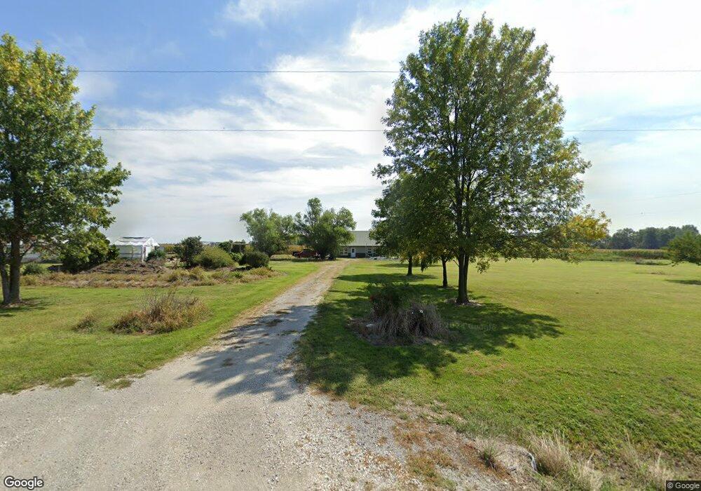
27387 Highway Ac Middletown, MO 63359
Estimated Value: $273,488 - $554,000
--
Bed
--
Bath
1,860
Sq Ft
$225/Sq Ft
Est. Value
About This Home
This home is located at 27387 Highway Ac, Middletown, MO 63359 and is currently estimated at $419,372, approximately $225 per square foot. 27387 Highway Ac is a home with nearby schools including Bowling Green High School.
Ownership History
Date
Name
Owned For
Owner Type
Purchase Details
Closed on
Oct 15, 2025
Sold by
Mcconnell David B and Mcconnell Beverly K
Bought by
Cobb Darrell W and Cobb Tina L
Current Estimated Value
Purchase Details
Closed on
Jun 2, 2017
Sold by
Mcconnell Beverly K and Mcconell David B
Bought by
Mcconnell David B
Home Financials for this Owner
Home Financials are based on the most recent Mortgage that was taken out on this home.
Original Mortgage
$157,500
Interest Rate
4.25%
Mortgage Type
Reverse Mortgage Home Equity Conversion Mortgage
Create a Home Valuation Report for This Property
The Home Valuation Report is an in-depth analysis detailing your home's value as well as a comparison with similar homes in the area
Home Values in the Area
Average Home Value in this Area
Purchase History
| Date | Buyer | Sale Price | Title Company |
|---|---|---|---|
| Cobb Darrell W | -- | None Listed On Document | |
| Mcconnell David B | -- | None Available |
Source: Public Records
Mortgage History
| Date | Status | Borrower | Loan Amount |
|---|---|---|---|
| Previous Owner | Mcconnell David B | $157,500 |
Source: Public Records
Tax History Compared to Growth
Tax History
| Year | Tax Paid | Tax Assessment Tax Assessment Total Assessment is a certain percentage of the fair market value that is determined by local assessors to be the total taxable value of land and additions on the property. | Land | Improvement |
|---|---|---|---|---|
| 2025 | $1,316 | $23,570 | $2,690 | $20,880 |
| 2024 | $1,383 | $24,980 | $2,690 | $22,290 |
| 2023 | $1,383 | $24,980 | $2,690 | $22,290 |
| 2022 | $1,295 | $23,560 | $1,270 | $22,290 |
| 2021 | $1,287 | $23,560 | $1,270 | $22,290 |
| 2020 | $1,294 | $23,560 | $1,270 | $22,290 |
| 2019 | $933 | $17,020 | $1,270 | $15,750 |
| 2018 | $844 | $17,020 | $1,270 | $15,750 |
| 2017 | $839 | $17,020 | $1,270 | $15,750 |
| 2016 | $820 | $17,020 | $1,270 | $15,750 |
| 2015 | -- | $17,020 | $1,270 | $15,750 |
Source: Public Records
Map
Nearby Homes
- 28450 Highway M
- 0 Bales Rd (26 50+ - Acres)
- 0 Bales Rd (55 3+ - Acres)
- 0 Bales Rd (81 8+ - Acres)
- 0 Bales Rd (81 80+ Ac)
- 0 Bales Rd (26 5+ - Acres)
- 103 N Cherry N
- 301 Main St
- 0 Central Grove Rd & Marling Rd N Unit MIS25030827
- 00 Highway T
- 21855 Highway M
- 57 Lemaster Rd
- 0 48 25 Ac M L Pike 409
- 0 Pike 409
- TBD Pike 409
- 802 W Bland St
- 29 Toothward Rd
- 00 State Route V
- 406 Utterback St
- 505 S Sharon Rd