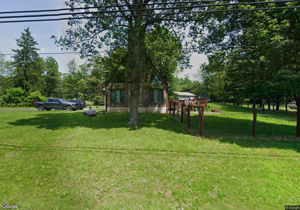
2739 Welshtown Rd Slatington, PA 18080
Washington Township NeighborhoodEstimated Value: $321,000 - $365,000
3
Beds
2
Baths
1,818
Sq Ft
$194/Sq Ft
Est. Value
About This Home
This home is located at 2739 Welshtown Rd, Slatington, PA 18080 and is currently estimated at $352,112, approximately $193 per square foot. 2739 Welshtown Rd is a home located in Lehigh County with nearby schools including Deep Creek Central Elementary School, Grassfield Elementary School, and Slatington Elementary School.
Ownership History
Date
Name
Owned For
Owner Type
Purchase Details
Closed on
Jan 12, 1999
Sold by
Babyak John and Babyak Josephine
Bought by
Williams Jason Michael
Current Estimated Value
Purchase Details
Closed on
Sep 9, 1977
Bought by
Babyak John and Babyak Josephine
Create a Home Valuation Report for This Property
The Home Valuation Report is an in-depth analysis detailing your home's value as well as a comparison with similar homes in the area
Home Values in the Area
Average Home Value in this Area
Purchase History
| Date | Buyer | Sale Price | Title Company |
|---|---|---|---|
| Williams Jason Michael | -- | -- | |
| Babyak John | $5,000 | -- |
Source: Public Records
Tax History Compared to Growth
Tax History
| Year | Tax Paid | Tax Assessment Tax Assessment Total Assessment is a certain percentage of the fair market value that is determined by local assessors to be the total taxable value of land and additions on the property. | Land | Improvement |
|---|---|---|---|---|
| 2025 | $5,225 | $177,400 | $51,500 | $125,900 |
| 2024 | $5,135 | $177,400 | $51,500 | $125,900 |
| 2023 | $4,994 | $177,400 | $51,500 | $125,900 |
| 2022 | $4,904 | $177,400 | $125,900 | $51,500 |
| 2021 | $4,821 | $177,400 | $51,500 | $125,900 |
| 2020 | $4,718 | $177,400 | $51,500 | $125,900 |
| 2019 | $4,595 | $177,400 | $51,500 | $125,900 |
| 2018 | $4,485 | $177,400 | $51,500 | $125,900 |
| 2017 | $4,472 | $177,400 | $51,500 | $125,900 |
| 2016 | -- | $177,400 | $51,500 | $125,900 |
| 2015 | -- | $177,400 | $51,500 | $125,900 |
| 2014 | -- | $177,400 | $51,500 | $125,900 |
Source: Public Records
Map
Nearby Homes
- 2727 Welshtown Rd
- 8201 Armstrong Ln
- 2817 Welshtown Rd
- 2730 Welshtown Rd
- 2814 Welshtown Rd
- 2724 Welshtown Rd
- 2718 Welshtown Rd
- 2742 Welshtown Rd
- 2822 Welshtown Rd
- 8203 Armstrong Ln
- 2693 Welshtown Rd
- 8205 Armstrong Ln
- 2712 Welshtown Rd
- 2843 Welshtown Rd
- 8207 Armstrong Ln
- 2675 Welshtown Rd
- 8206 Armstrong Ln
- 2670 Welshtown Rd
- 2830 Welshtown Rd
- 2708 Welshtown Rd