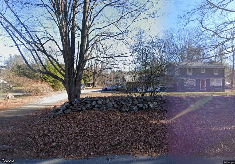
274 Aspetuck Ridge Rd New Milford, CT 06776
Estimated Value: $610,366 - $780,000
4
Beds
4
Baths
2,256
Sq Ft
$294/Sq Ft
Est. Value
About This Home
This home is located at 274 Aspetuck Ridge Rd, New Milford, CT 06776 and is currently estimated at $662,842, approximately $293 per square foot. 274 Aspetuck Ridge Rd is a home located in Litchfield County with nearby schools including Northville Elementary School, Sarah Noble Intermediate School, and Schaghticoke Middle School.
Ownership History
Date
Name
Owned For
Owner Type
Purchase Details
Closed on
Mar 19, 2004
Sold by
Johnson Chris and Johnson Tammy
Bought by
Grinberg Nelu and Grinberg Cynthia
Current Estimated Value
Home Financials for this Owner
Home Financials are based on the most recent Mortgage that was taken out on this home.
Original Mortgage
$236,900
Interest Rate
5.71%
Purchase Details
Closed on
Sep 28, 2001
Sold by
Country Farm Bldg
Bought by
Johnson Chris and Johnson Tammy
Home Financials for this Owner
Home Financials are based on the most recent Mortgage that was taken out on this home.
Original Mortgage
$220,000
Interest Rate
6.91%
Purchase Details
Closed on
Mar 26, 2001
Sold by
Livings Simon and Ohara Marie
Bought by
Country Farm Bldg
Create a Home Valuation Report for This Property
The Home Valuation Report is an in-depth analysis detailing your home's value as well as a comparison with similar homes in the area
Home Values in the Area
Average Home Value in this Area
Purchase History
| Date | Buyer | Sale Price | Title Company |
|---|---|---|---|
| Grinberg Nelu | $442,000 | -- | |
| Johnson Chris | $80,000 | -- | |
| Country Farm Bldg | $51,000 | -- |
Source: Public Records
Mortgage History
| Date | Status | Borrower | Loan Amount |
|---|---|---|---|
| Closed | Country Farm Bldg | $236,900 | |
| Previous Owner | Country Farm Bldg | $220,000 |
Source: Public Records
Tax History Compared to Growth
Tax History
| Year | Tax Paid | Tax Assessment Tax Assessment Total Assessment is a certain percentage of the fair market value that is determined by local assessors to be the total taxable value of land and additions on the property. | Land | Improvement |
|---|---|---|---|---|
| 2025 | $11,435 | $374,920 | $78,680 | $296,240 |
| 2024 | $7,287 | $244,780 | $60,400 | $184,380 |
| 2023 | $7,094 | $244,780 | $60,400 | $184,380 |
| 2022 | $6,940 | $244,780 | $60,400 | $184,380 |
| 2021 | $6,846 | $244,780 | $60,400 | $184,380 |
| 2020 | $6,966 | $242,900 | $66,990 | $175,910 |
| 2019 | $6,971 | $242,900 | $66,990 | $175,910 |
| 2018 | $6,842 | $242,900 | $66,990 | $175,910 |
| 2017 | $6,619 | $242,900 | $66,990 | $175,910 |
| 2016 | $6,502 | $242,900 | $66,990 | $175,910 |
| 2015 | $6,713 | $250,950 | $66,990 | $183,960 |
| 2014 | $6,600 | $250,950 | $66,990 | $183,960 |
Source: Public Records
Map
Nearby Homes
- 159 Merryall Rd
- 41 Meetinghouse Terrace
- 165 Merryall Rd
- 18 Bayberry Ln
- 11 Tall Oaks Dr Unit 11
- 1 Tall Oaks Dr
- 40 Mount Tom Rd
- 42 Twin Oaks
- 7 Mount Tom Rd
- 3 Belair Dr Unit 3
- 309 Kent Rd
- 59 Carlson Ridge Rd
- 34 Twin Oaks
- 77 Carlson Ridge Rd
- 0 Chestnut Land Rd Unit 24024843
- 0 Chestnut Land Rd Unit 24024823
- 12 Wells Rd
- 74 Park Lane Rd
- 61 Park Lane Rd
- 2 Chatfield Rd
- 284 Aspetuck Ridge Rd
- 15 Putnam Rd
- 11 Putnam Rd
- 278 Aspetuck Ridge Rd
- 282 Aspetuck Ridge Rd
- 19 Putnam Rd
- 288 Aspetuck Ridge Rd
- 17 Putnam Rd
- 270 Aspetuck Ridge Rd
- 292 Aspetuck Ridge Rd
- 296 Aspetuck Ridge Rd
- 1 Buckboard Ln
- 33 Putnam Rd
- 275 Aspetuck Ridge Rd
- 21 Putnam Rd
- 6 Putnam Rd
- 12 Putnam Rd
- 271 Aspetuck Ridge Rd
- 298 Aspetuck Ridge Rd
- 37 Putnam Rd