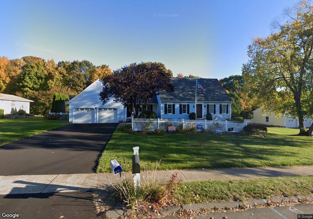
274 Baldwin Dr Bristol, CT 06010
North Bristol NeighborhoodEstimated Value: $470,954 - $483,000
3
Beds
3
Baths
1,978
Sq Ft
$241/Sq Ft
Est. Value
About This Home
This home is located at 274 Baldwin Dr, Bristol, CT 06010 and is currently estimated at $475,989, approximately $240 per square foot. 274 Baldwin Dr is a home located in Hartford County with nearby schools including West Bristol Sch, Bristol Central High School, and St. Joseph School.
Ownership History
Date
Name
Owned For
Owner Type
Purchase Details
Closed on
Oct 13, 2021
Sold by
Shorette Eileen S
Bought by
Tolve Lawrence F and Tolve Judy F
Current Estimated Value
Purchase Details
Closed on
Jun 29, 2010
Sold by
Shorette Lawrence C
Bought by
Shorette Eileen S
Purchase Details
Closed on
Dec 21, 1998
Sold by
Anderson Lillian M
Bought by
Shorette Lawrence C and Sharette Eileen S
Purchase Details
Closed on
Sep 5, 1995
Sold by
Mcmahon Martha
Bought by
Marabella Paul and Marabella Katherine
Create a Home Valuation Report for This Property
The Home Valuation Report is an in-depth analysis detailing your home's value as well as a comparison with similar homes in the area
Home Values in the Area
Average Home Value in this Area
Purchase History
| Date | Buyer | Sale Price | Title Company |
|---|---|---|---|
| Tolve Lawrence F | $325,000 | None Available | |
| Shorette Eileen S | -- | -- | |
| Shorette Lawrence C | $175,000 | -- | |
| Marabella Paul | $127,000 | -- |
Source: Public Records
Mortgage History
| Date | Status | Borrower | Loan Amount |
|---|---|---|---|
| Previous Owner | Marabella Paul | $465,000 | |
| Previous Owner | Marabella Paul | $186,000 |
Source: Public Records
Tax History
| Year | Tax Paid | Tax Assessment Tax Assessment Total Assessment is a certain percentage of the fair market value that is determined by local assessors to be the total taxable value of land and additions on the property. | Land | Improvement |
|---|---|---|---|---|
| 2025 | $8,526 | $252,630 | $59,570 | $193,060 |
| 2024 | $8,046 | $252,630 | $59,570 | $193,060 |
| 2023 | $7,667 | $252,630 | $59,570 | $193,060 |
| 2022 | $6,977 | $181,930 | $46,550 | $135,380 |
| 2021 | $6,977 | $181,930 | $46,550 | $135,380 |
| 2020 | $6,977 | $181,930 | $46,550 | $135,380 |
| 2019 | $6,922 | $181,930 | $46,550 | $135,380 |
| 2018 | $6,710 | $181,930 | $46,550 | $135,380 |
| 2017 | $6,504 | $180,530 | $63,280 | $117,250 |
| 2016 | $6,431 | $178,500 | $63,280 | $115,220 |
| 2015 | $6,178 | $178,500 | $63,280 | $115,220 |
| 2014 | $6,178 | $178,500 | $63,280 | $115,220 |
Source: Public Records
Map
Nearby Homes
- 62 (Lot 13-1) James P Casey Rd
- 0 Hart St Unit 170255530
- 38 Eastwood Rd
- 83 Lardner Rd
- 439 James P Casey Rd
- 35 Lardner Rd
- 35 James P Casey Rd
- 380 Burlington Ave
- 209 Ashley Rd
- 454 Maple Ave
- 19 Woodside Way
- 40 Matthews St Unit 30
- 354 Maple Ave
- 22 Ingraham St
- 0 Fairlawn St
- 4 Southdown Dr
- 172 North St
- 1 Hickory St
- 17 Grove St Unit 3RD
- 29 Lincoln Place
Your Personal Tour Guide
Ask me questions while you tour the home.