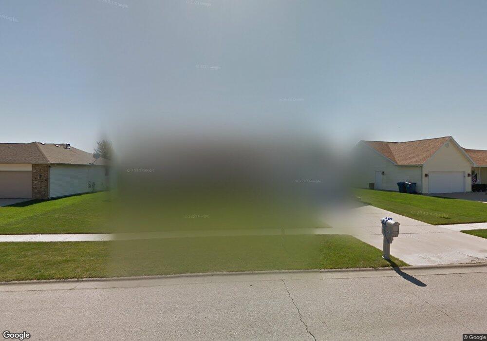
274 Highpoint Cir S Bourbonnais, IL 60914
Estimated Value: $314,000 - $336,000
4
Beds
2
Baths
1,804
Sq Ft
$180/Sq Ft
Est. Value
About This Home
This home is located at 274 Highpoint Cir S, Bourbonnais, IL 60914 and is currently estimated at $324,365, approximately $179 per square foot. 274 Highpoint Cir S is a home located in Kankakee County with nearby schools including Noel Levasseur Elementary School, Liberty Intermediate School, and Bourbonnais Upper Grade Center.
Ownership History
Date
Name
Owned For
Owner Type
Purchase Details
Closed on
Jul 11, 2008
Sold by
Lawrence Radas and Lawrence Sherri
Bought by
Burton Larry and Burton Mary R
Current Estimated Value
Home Financials for this Owner
Home Financials are based on the most recent Mortgage that was taken out on this home.
Original Mortgage
$196,500
Interest Rate
6.36%
Mortgage Type
New Conventional
Create a Home Valuation Report for This Property
The Home Valuation Report is an in-depth analysis detailing your home's value as well as a comparison with similar homes in the area
Home Values in the Area
Average Home Value in this Area
Purchase History
| Date | Buyer | Sale Price | Title Company |
|---|---|---|---|
| Burton Larry | $196,500 | Lawyers Title Insurance Corp |
Source: Public Records
Mortgage History
| Date | Status | Borrower | Loan Amount |
|---|---|---|---|
| Closed | Burton Larry | $196,500 |
Source: Public Records
Tax History Compared to Growth
Tax History
| Year | Tax Paid | Tax Assessment Tax Assessment Total Assessment is a certain percentage of the fair market value that is determined by local assessors to be the total taxable value of land and additions on the property. | Land | Improvement |
|---|---|---|---|---|
| 2024 | -- | $103,960 | $12,030 | $91,930 |
| 2023 | -- | $93,780 | $11,139 | $82,641 |
| 2022 | $0 | $85,579 | $10,736 | $74,843 |
| 2021 | $5,974 | $82,261 | $10,500 | $71,761 |
| 2020 | $5,898 | $80,059 | $10,219 | $69,840 |
| 2019 | $5,754 | $77,727 | $9,921 | $67,806 |
| 2018 | $5,941 | $74,632 | $9,774 | $64,858 |
| 2017 | $5,818 | $72,812 | $9,536 | $63,276 |
| 2016 | $5,654 | $71,119 | $9,395 | $61,724 |
| 2015 | $5,656 | $70,346 | $9,302 | $61,044 |
| 2014 | $5,488 | $70,989 | $9,302 | $61,687 |
| 2013 | -- | $71,254 | $9,302 | $61,952 |
Source: Public Records
Map
Nearby Homes
- 1582 Mid Court Dr
- 330 Centerpoint Dr S
- 360 Centerpoint Dr S
- 172 Anita Dr
- 197 Kristina Dr
- 444 Highpoint Cir N
- 675 Kathy Dr
- 1533 Stefanie Ln
- 54 Bonds Dr
- 1613 Stefanie Ln
- 1565 Stefanie Ln
- 1230 Eagle Bluff Dr
- 2082 Craftsman Ave
- 52 Hanson Dr
- 1293 Hartley Ave
- 118 Meadows Ct
- 14 Saint Michaels Dr
- 530 Meadows Rd S
- 882 Pheasant Run
- 6 Berry Ln
- 266 Highpoint Cir S
- 282 Highpoint Cir S
- 1577 Mid Court Dr
- 258 Highpoint Cir S
- 290 Highpoint Cir S
- 1581 Mid Court Dr
- 1575 Mid Court Dr
- 275 Highpoint Cir S
- 1583 Mid Court Dr
- 267 Highpoint Cir S
- 283 Highpoint Cir S
- 250 Highpoint Cir S
- 298 Highpoint Cir S
- 259 Highpoint Cir S
- 291 Highpoint Cir S
- 1571 Mid Court Dr
- 1585 Mid Court Dr
- 251 Highpoint Cir S
- 242 Highpoint Cir S
- 310 Highpoint Cir S