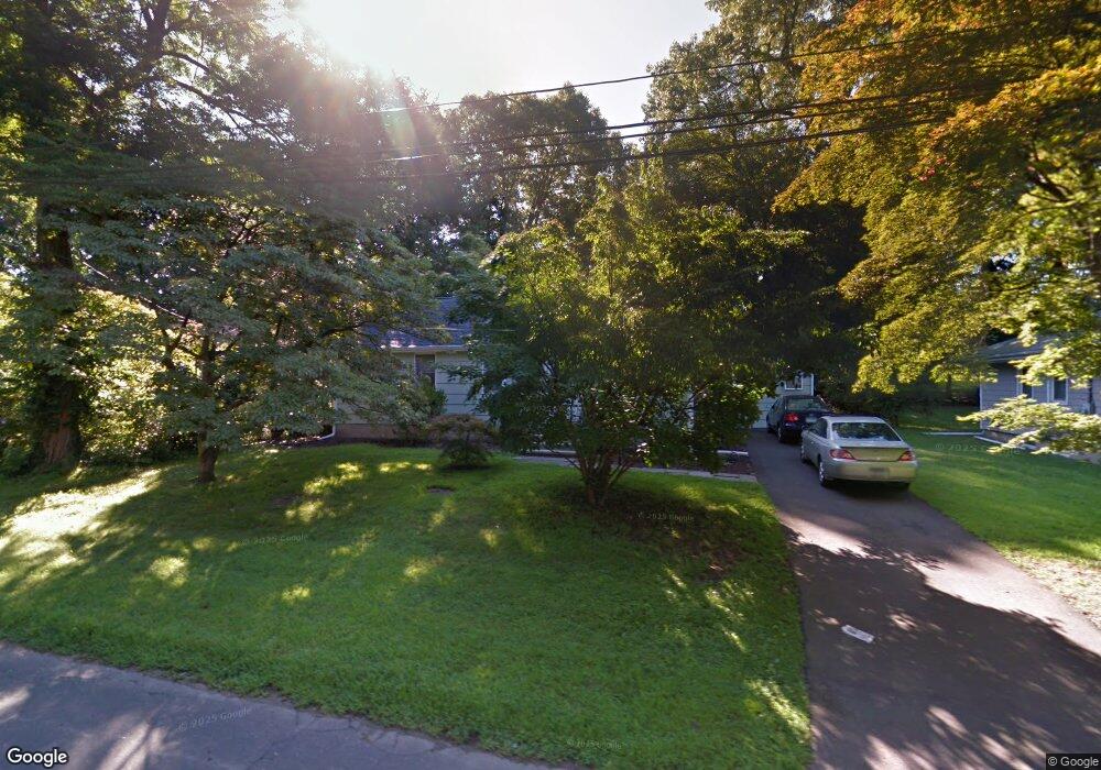
274 Melody Ln Fairfield, CT 06824
University NeighborhoodEstimated Value: $388,000 - $434,000
1
Bed
2
Baths
1,135
Sq Ft
$368/Sq Ft
Est. Value
About This Home
This home is located at 274 Melody Ln, Fairfield, CT 06824 and is currently estimated at $418,167, approximately $368 per square foot. 274 Melody Ln is a home located in Fairfield County with nearby schools including Osborn Hill Elementary School, Fairfield Woods Middle School, and Fairfield Ludlowe High School.
Ownership History
Date
Name
Owned For
Owner Type
Purchase Details
Closed on
Mar 17, 2003
Sold by
Hespelt Daniel P and Hespelt Deborah L
Bought by
Cannon Scott W
Current Estimated Value
Home Financials for this Owner
Home Financials are based on the most recent Mortgage that was taken out on this home.
Original Mortgage
$208,000
Interest Rate
5.94%
Purchase Details
Closed on
Jan 21, 1988
Sold by
Shapiro Rose
Bought by
Hespelt Daniel P
Home Financials for this Owner
Home Financials are based on the most recent Mortgage that was taken out on this home.
Original Mortgage
$33,942
Interest Rate
10.65%
Create a Home Valuation Report for This Property
The Home Valuation Report is an in-depth analysis detailing your home's value as well as a comparison with similar homes in the area
Home Values in the Area
Average Home Value in this Area
Purchase History
| Date | Buyer | Sale Price | Title Company |
|---|---|---|---|
| Cannon Scott W | $232,000 | -- | |
| Cannon Scott W | $232,000 | -- | |
| Hespelt Daniel P | $150,000 | -- |
Source: Public Records
Mortgage History
| Date | Status | Borrower | Loan Amount |
|---|---|---|---|
| Open | Hespelt Daniel P | $156,932 | |
| Closed | Hespelt Daniel P | $208,000 | |
| Previous Owner | Hespelt Daniel P | $33,942 |
Source: Public Records
Tax History Compared to Growth
Tax History
| Year | Tax Paid | Tax Assessment Tax Assessment Total Assessment is a certain percentage of the fair market value that is determined by local assessors to be the total taxable value of land and additions on the property. | Land | Improvement |
|---|---|---|---|---|
| 2025 | $4,318 | $152,110 | $0 | $152,110 |
| 2024 | $4,244 | $152,110 | $0 | $152,110 |
| 2023 | $4,185 | $152,110 | $0 | $152,110 |
| 2022 | $4,143 | $152,110 | $0 | $152,110 |
| 2021 | $4,104 | $152,110 | $0 | $152,110 |
| 2020 | $4,542 | $169,540 | $0 | $169,540 |
| 2019 | $4,542 | $169,540 | $0 | $169,540 |
| 2018 | $4,469 | $169,540 | $0 | $169,540 |
| 2017 | $4,378 | $169,540 | $0 | $169,540 |
| 2016 | $4,315 | $169,540 | $0 | $169,540 |
| 2015 | $4,963 | $200,200 | $0 | $200,200 |
| 2014 | $4,885 | $200,200 | $0 | $200,200 |
Source: Public Records
Map
Nearby Homes
- 28 Stillson Place
- 706 Judd St
- 79 Mayfair Rd
- 115 Mayfair Rd
- 41 Pepperbush Ln
- 180 Oakwood Dr
- 210 Pansy Rd
- 359 Reid St
- 25 Country Rd
- 1335 Black Rock Turnpike
- 108 Roseville St
- 309 Hunyadi Ave
- 162 Country Rd Unit 162
- 2107 N Benson Rd
- 42 Robin Cir
- 221 Hunyadi Ave
- 45 Robin Cir
- 31 High Ridge Rd
- 67 Campfield Dr
- 376 Knapps Hwy
- 276 Melody Ln
- 276 Melody Ln Unit 276
- 270 Melody Ln
- 272 Melody Ln
- 278 Melody Ln
- 282 Melody Ln
- 280 Melody Ln
- 280 Melody Ln Unit 280
- 286 Melody Ln
- 286 Melody Ln Unit 286
- 284 Melody Ln
- 288 Melody Ln
- 292 Melody Ln
- 292 Melody Ln Unit 292
- 290 Melody Ln
- 290 Melody Ln Unit 290
- 296 Melody Ln
- 260 Melody Ln
- 260 Melody Ln Unit 260
- 121 Katona Dr Unit 40