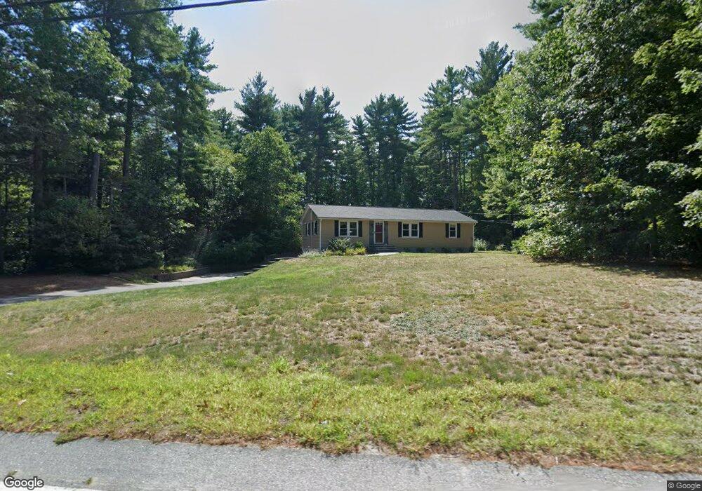
274 Pleasant St Dunstable, MA 01827
Estimated Value: $528,000 - $545,000
3
Beds
2
Baths
1,248
Sq Ft
$430/Sq Ft
Est. Value
About This Home
This home is located at 274 Pleasant St, Dunstable, MA 01827 and is currently estimated at $536,745, approximately $430 per square foot. 274 Pleasant St is a home located in Middlesex County with nearby schools including Groton Dunstable Regional High School.
Ownership History
Date
Name
Owned For
Owner Type
Purchase Details
Closed on
Aug 3, 2011
Sold by
Estona Elizabeth A and Estona Thomas M
Bought by
Harding Richard and Harding Tracey
Current Estimated Value
Home Financials for this Owner
Home Financials are based on the most recent Mortgage that was taken out on this home.
Original Mortgage
$188,000
Outstanding Balance
$129,804
Interest Rate
4.51%
Mortgage Type
Purchase Money Mortgage
Estimated Equity
$406,941
Create a Home Valuation Report for This Property
The Home Valuation Report is an in-depth analysis detailing your home's value as well as a comparison with similar homes in the area
Home Values in the Area
Average Home Value in this Area
Purchase History
| Date | Buyer | Sale Price | Title Company |
|---|---|---|---|
| Harding Richard | $235,000 | -- | |
| Harding Richard | $235,000 | -- |
Source: Public Records
Mortgage History
| Date | Status | Borrower | Loan Amount |
|---|---|---|---|
| Open | Harding Richard | $188,000 | |
| Closed | Harding Richard | $188,000 | |
| Previous Owner | Harding Richard | $25,000 |
Source: Public Records
Tax History Compared to Growth
Tax History
| Year | Tax Paid | Tax Assessment Tax Assessment Total Assessment is a certain percentage of the fair market value that is determined by local assessors to be the total taxable value of land and additions on the property. | Land | Improvement |
|---|---|---|---|---|
| 2025 | $5,697 | $414,300 | $188,700 | $225,600 |
| 2024 | $5,422 | $388,400 | $174,200 | $214,200 |
| 2023 | $5,593 | $373,600 | $174,200 | $199,400 |
| 2022 | $5,472 | $358,800 | $174,200 | $184,600 |
| 2021 | $6,337 | $297,800 | $159,700 | $138,100 |
| 2020 | $4,838 | $287,300 | $159,700 | $127,600 |
| 2019 | $4,659 | $273,100 | $159,700 | $113,400 |
| 2018 | $4,669 | $266,200 | $159,700 | $106,500 |
| 2017 | $4,476 | $263,000 | $159,700 | $103,300 |
| 2016 | $4,253 | $257,000 | $152,400 | $104,600 |
| 2015 | $3,865 | $231,000 | $127,800 | $103,200 |
| 2014 | $3,643 | $231,000 | $127,800 | $103,200 |
Source: Public Records
Map
Nearby Homes
- 14 Cross St
- 46 Oak St
- 153 Off Pond St
- 8 Jamie Rd
- 32 Bear Hill Rd
- 0 Lowell St
- 120 1/2 Lowell Rd
- 2 Wildflower Ln
- 452 River St
- 5 Doucet Ave
- 3 Doucet Ave Unit The Cub
- 1 Doucet Ave
- 67 Wilderness Dr Unit The Cub
- 29 East St
- 63 Wilderness Dr Unit Derby 2
- 46 Wilderness Dr
- 58 Wilderness Dr
- 2 Wilderness Dr
- 1 Wilderness Dr
- 7 Wilderness Dr