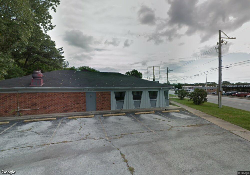
274 River Oaks Dr Calumet City, IL 60409
Estimated Value: $186,481
--
Bed
--
Bath
--
Sq Ft
0.36
Acres
About This Home
This home is located at 274 River Oaks Dr, Calumet City, IL 60409 and is currently estimated at $186,481. 274 River Oaks Dr is a home located in Cook County with nearby schools including Hoover Elementary School, Schrum Memorial Middle School, and Thornton Fractional North High School.
Ownership History
Date
Name
Owned For
Owner Type
Purchase Details
Closed on
Jan 16, 2019
Sold by
Chicago Title Land Trust Co
Bought by
Honor & Loyalty Inc
Current Estimated Value
Home Financials for this Owner
Home Financials are based on the most recent Mortgage that was taken out on this home.
Original Mortgage
$88,000
Outstanding Balance
$77,052
Interest Rate
4.4%
Mortgage Type
Commercial
Estimated Equity
$109,429
Purchase Details
Closed on
Dec 3, 2007
Sold by
S & P Partners Ltd
Bought by
Park National Bank and Trust #32493
Create a Home Valuation Report for This Property
The Home Valuation Report is an in-depth analysis detailing your home's value as well as a comparison with similar homes in the area
Home Values in the Area
Average Home Value in this Area
Purchase History
| Date | Buyer | Sale Price | Title Company |
|---|---|---|---|
| Honor & Loyalty Inc | $110,000 | Old Republic Title | |
| Park National Bank | $110,000 | Cti |
Source: Public Records
Mortgage History
| Date | Status | Borrower | Loan Amount |
|---|---|---|---|
| Open | Honor & Loyalty Inc | $88,000 |
Source: Public Records
Tax History Compared to Growth
Tax History
| Year | Tax Paid | Tax Assessment Tax Assessment Total Assessment is a certain percentage of the fair market value that is determined by local assessors to be the total taxable value of land and additions on the property. | Land | Improvement |
|---|---|---|---|---|
| 2024 | $22,003 | $33,458 | $11,615 | $21,843 |
| 2023 | $31,976 | $33,458 | $11,615 | $21,843 |
| 2022 | $31,976 | $37,504 | $25,167 | $12,337 |
| 2021 | $23,008 | $27,500 | $25,166 | $2,334 |
| 2020 | $19,434 | $27,500 | $25,166 | $2,334 |
| 2019 | $20,446 | $27,500 | $22,262 | $5,238 |
| 2018 | $36,860 | $49,268 | $22,262 | $27,006 |
| 2017 | $17,717 | $24,935 | $22,262 | $2,673 |
| 2016 | $14,835 | $22,013 | $20,326 | $1,687 |
| 2015 | $14,614 | $22,013 | $20,326 | $1,687 |
| 2014 | $14,050 | $22,005 | $20,326 | $1,679 |
| 2013 | $12,778 | $21,632 | $20,326 | $1,306 |
Source: Public Records
Map
Nearby Homes
- 1304 Freeland Ave
- 302 161st St
- 305 River Oaks Dr
- 1313 Gordon Ave
- 1341 Gordon Ave
- 1295 Hirsch Ave
- 1351 Gordon Ave
- 1373 Stanley Blvd
- 1366 Price Ave
- 1395 Freeland Ave
- 1375 Forest Place
- 1272 Burnham Ave
- 1354 Hirsch Ave
- 1387 Price Ave
- 1295 Greenbay Ave
- 1262 Greenbay Ave
- 1374 Kenilworth Dr
- 1317 Mackinaw Ave
- 1404 Wentworth Ave Unit 1
- 1383 Greenbay Ave
- 276 Schrum Rd
- 270 Schrum Rd
- 1290 Freeland Ave
- 260 River Oaks Dr
- 260 River Oaks Dr
- 296 161st St
- 294 River Oaks Dr
- 298 161st St
- 1302 Freeland Ave
- 256 River Oaks Dr
- 295 River Oaks Dr
- 300 161st St
- 1240 Edgewood Dr
- 281 River Oaks Dr
- 299 River Oaks Dr
- 1235 Edgewood Dr
- 1301 Gordon Ave
- 1308 Freeland Ave
- 304 161st St
- 301 River Oaks Dr