274 Roundbottom Cir Sylvester, WV 25193
Estimated Value: $60,840 - $77,000
3
Beds
1
Bath
864
Sq Ft
$80/Sq Ft
Est. Value
About This Home
This home is located at 274 Roundbottom Cir, Sylvester, WV 25193 and is currently estimated at $68,960, approximately $79 per square foot. 274 Roundbottom Cir is a home.
Ownership History
Date
Name
Owned For
Owner Type
Purchase Details
Closed on
Jun 20, 2024
Sold by
Dickens Shelia and Dickens William
Bought by
Peters Bradley and Chapman Brook
Current Estimated Value
Home Financials for this Owner
Home Financials are based on the most recent Mortgage that was taken out on this home.
Original Mortgage
$4,400
Interest Rate
7.09%
Mortgage Type
New Conventional
Purchase Details
Closed on
Aug 20, 2012
Sold by
Mancari Norma
Bought by
Mancari Franklin M
Create a Home Valuation Report for This Property
The Home Valuation Report is an in-depth analysis detailing your home's value as well as a comparison with similar homes in the area
Home Values in the Area
Average Home Value in this Area
Purchase History
| Date | Buyer | Sale Price | Title Company |
|---|---|---|---|
| Peters Bradley | $65,000 | None Listed On Document | |
| Mancari Franklin M | -- | -- |
Source: Public Records
Mortgage History
| Date | Status | Borrower | Loan Amount |
|---|---|---|---|
| Closed | Peters Bradley | $4,400 | |
| Open | Peters Bradley | $63,822 |
Source: Public Records
Tax History Compared to Growth
Tax History
| Year | Tax Paid | Tax Assessment Tax Assessment Total Assessment is a certain percentage of the fair market value that is determined by local assessors to be the total taxable value of land and additions on the property. | Land | Improvement |
|---|---|---|---|---|
| 2024 | $393 | $15,840 | $1,980 | $13,860 |
| 2023 | $393 | $14,760 | $1,980 | $12,780 |
| 2022 | $0 | $13,740 | $1,980 | $11,760 |
| 2021 | $0 | $13,140 | $1,980 | $11,160 |
| 2020 | $0 | $13,140 | $1,980 | $11,160 |
| 2019 | $0 | $13,140 | $1,980 | $11,160 |
| 2018 | $0 | $14,340 | $1,980 | $12,360 |
| 2017 | $0 | $13,380 | $1,980 | $11,400 |
| 2016 | -- | $13,380 | $1,980 | $11,400 |
| 2015 | -- | $12,420 | $1,980 | $10,440 |
| 2014 | -- | $10,560 | $1,980 | $8,580 |
Source: Public Records
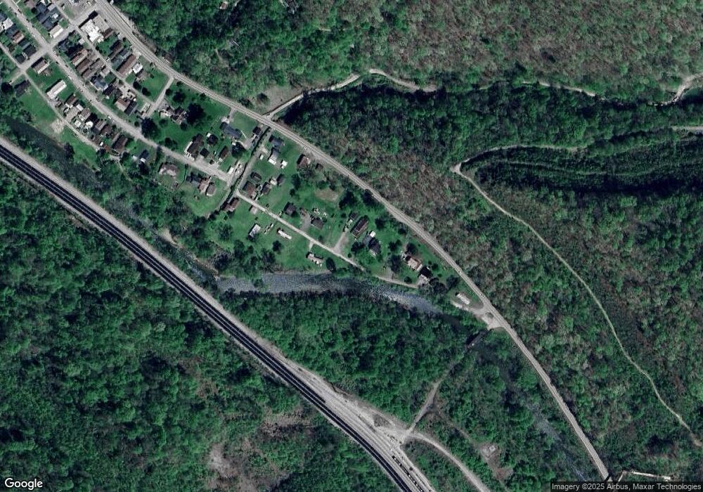
Map
Nearby Homes
- 686 Branham Heights Rd
- 3822 Seng Creek Rd
- 4076 Seng Creek Rd
- 24061 State Highway 3
- 168 Bowen Lane and Aleshire Walk Rd
- 14156 Coal River Rd
- 604 Coal Fork Laurel Rd
- 6888 Joes Creek Rd
- 135 Dakota Ct
- 574 Churchill Rd
- 1561 Prenter Rd
- 306 Rockcastle Rd
- 269 Nevada St
- 0 Pond Fork Rd
- 20265 Pond Fork Rd
- 23836 Pond Fork Rd
- 120 Tranquil Ct
- 112 Tranquil Ct
- 1315 Drew Creek
- 7518 Coal River Rd
- 232 Roundbottom Cir
- 384 Roundbottom Cir
- 157 Roundbottom Cir
- 438 Roundbottom Cir
- 134 Sherman St
- 442 Roundbottom Cir
- 518 Roundbottom Cir
- 486 Roundbottom Cir
- 471 Roundbottom Cir
- 33406 Coal River Rd
- 321 Sherman St
- 33362 Coal River Rd
- 320 Sherman St
- 319 Sherman St
- 318 Sherman St
- 316 Sherman St
- 313 Sherman St
- 314 Sherman St
- 861 Branham Heights Rd
- 302 Sherman St