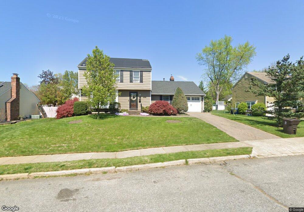
274 Southview Dr Delran, NJ 08075
Tenby Chase NeighborhoodEstimated Value: $355,012 - $464,000
--
Bed
--
Bath
1,600
Sq Ft
$267/Sq Ft
Est. Value
About This Home
This home is located at 274 Southview Dr, Delran, NJ 08075 and is currently estimated at $427,253, approximately $267 per square foot. 274 Southview Dr is a home located in Burlington County with nearby schools including Millbridge Elementary School, Delran Intermediate School, and Delran Middle School.
Ownership History
Date
Name
Owned For
Owner Type
Purchase Details
Closed on
Sep 15, 2000
Sold by
Price Michael F and Price Susan M
Bought by
Skotarczak Stephen E and Skotarczak Diane
Current Estimated Value
Home Financials for this Owner
Home Financials are based on the most recent Mortgage that was taken out on this home.
Original Mortgage
$137,526
Outstanding Balance
$49,626
Interest Rate
7.96%
Mortgage Type
FHA
Estimated Equity
$377,627
Purchase Details
Closed on
Sep 19, 1993
Sold by
Mullaney Kevin
Bought by
Price Michael and Price Susan Price
Home Financials for this Owner
Home Financials are based on the most recent Mortgage that was taken out on this home.
Original Mortgage
$105,000
Interest Rate
7.15%
Mortgage Type
Purchase Money Mortgage
Create a Home Valuation Report for This Property
The Home Valuation Report is an in-depth analysis detailing your home's value as well as a comparison with similar homes in the area
Home Values in the Area
Average Home Value in this Area
Purchase History
| Date | Buyer | Sale Price | Title Company |
|---|---|---|---|
| Skotarczak Stephen E | $149,500 | Surety Title Corporation | |
| Price Michael | $131,000 | -- |
Source: Public Records
Mortgage History
| Date | Status | Borrower | Loan Amount |
|---|---|---|---|
| Open | Skotarczak Stephen E | $137,526 | |
| Previous Owner | Price Michael | $105,000 |
Source: Public Records
Tax History Compared to Growth
Tax History
| Year | Tax Paid | Tax Assessment Tax Assessment Total Assessment is a certain percentage of the fair market value that is determined by local assessors to be the total taxable value of land and additions on the property. | Land | Improvement |
|---|---|---|---|---|
| 2025 | $8,222 | $206,800 | $65,000 | $141,800 |
| 2024 | $8,148 | $206,800 | $65,000 | $141,800 |
| 2023 | $8,148 | $206,800 | $65,000 | $141,800 |
| 2022 | $8,042 | $206,800 | $65,000 | $141,800 |
| 2021 | $8,047 | $206,800 | $65,000 | $141,800 |
| 2020 | $8,030 | $206,800 | $65,000 | $141,800 |
| 2019 | $7,956 | $206,800 | $65,000 | $141,800 |
| 2018 | $7,823 | $206,800 | $65,000 | $141,800 |
| 2017 | $7,699 | $206,800 | $65,000 | $141,800 |
| 2016 | $7,585 | $206,800 | $65,000 | $141,800 |
| 2015 | $7,459 | $206,800 | $65,000 | $141,800 |
| 2014 | $7,135 | $206,800 | $65,000 | $141,800 |
Source: Public Records
Map
Nearby Homes
- 228 Aqua Ln
- 128 Dorado Dr
- 164 Fox Chase Dr
- 142 Fox Chase Dr
- 2408 New Albany Rd
- 53 Princeton Dr
- 2209 New Albany Rd
- 2204 New Albany Rd
- 43 Princeton Dr
- 347 Tom Brown Rd
- 343 Tom Brown Rd
- 60 Notre Dame Dr
- 2305 Andover Rd
- 110 Kathleen Ave
- 29 Haines Mill Rd
- 31 Cornell Dr
- 310 Devon Rd
- 139 Patricia Ave
- 415 Bridgeboro Rd
- 4327 Bridgeboro Rd
- 276 Southview Dr
- 272 Southview Dr
- 275 Burning Tree Rd
- 273 Burning Tree Rd
- 277 Burning Tree Rd
- 275 Southview Dr
- 270 Southview Dr
- 278 Southview Dr
- 273 Southview Dr
- 271 Burning Tree Rd
- 279 Burning Tree Rd
- 277 Southview Dr
- 279 Southview Dr
- 268 Southview Dr
- 271 Southview Dr
- 272 Burning Tree Rd
- 269 Southview Dr
- 266 Southview Dr
- 276 Burning Tree Rd
- 267 Burning Tree Rd