Estimated Value: $437,000 - $624,000
--
Bed
--
Bath
1,668
Sq Ft
$337/Sq Ft
Est. Value
About This Home
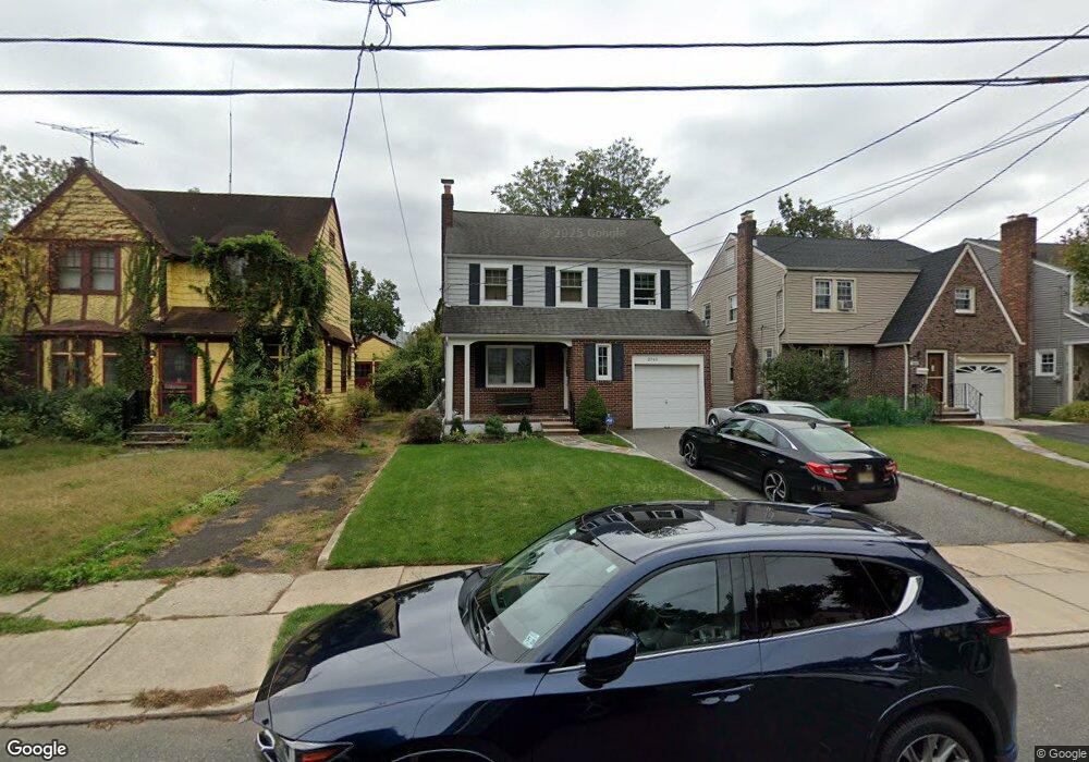
This home is located at 2740 Carol Rd, Union, NJ 07083 and is currently estimated at $561,370, approximately $336 per square foot. 2740 Carol Rd is a home located in Union County with nearby schools including Battle Hill Elementary School, Burnet Middle School, and Union High School.
Ownership History
Date
Name
Owned For
Owner Type
Purchase Details
Closed on
Jul 26, 2021
Sold by
Kunka Linda
Bought by
Kunka Linda and Macalush Michael
Current Estimated Value
Purchase Details
Closed on
Dec 7, 2007
Sold by
Monaco Christopher G and Monaco Lea
Bought by
Kunka Linda
Home Financials for this Owner
Home Financials are based on the most recent Mortgage that was taken out on this home.
Original Mortgage
$200,000
Outstanding Balance
$126,592
Interest Rate
6.3%
Mortgage Type
Purchase Money Mortgage
Estimated Equity
$434,778
Purchase Details
Closed on
Mar 27, 2001
Sold by
Aurillo Joseph L and Aurillo Julia
Bought by
Monaco Christopher G
Home Financials for this Owner
Home Financials are based on the most recent Mortgage that was taken out on this home.
Original Mortgage
$145,000
Interest Rate
6.97%
Create a Home Valuation Report for This Property
The Home Valuation Report is an in-depth analysis detailing your home's value as well as a comparison with similar homes in the area
Home Values in the Area
Average Home Value in this Area
Purchase History
| Date | Buyer | Sale Price | Title Company |
|---|---|---|---|
| Kunka Linda | -- | Atlantic Ttl & Setmnt Svc Ll | |
| Kunka Linda | $362,000 | Multiple | |
| Monaco Christopher G | $182,000 | -- |
Source: Public Records
Mortgage History
| Date | Status | Borrower | Loan Amount |
|---|---|---|---|
| Open | Kunka Linda | $200,000 | |
| Previous Owner | Monaco Christopher G | $145,000 |
Source: Public Records
Tax History Compared to Growth
Tax History
| Year | Tax Paid | Tax Assessment Tax Assessment Total Assessment is a certain percentage of the fair market value that is determined by local assessors to be the total taxable value of land and additions on the property. | Land | Improvement |
|---|---|---|---|---|
| 2025 | $10,304 | $46,100 | $16,600 | $29,500 |
| 2024 | $9,989 | $46,100 | $16,600 | $29,500 |
| 2023 | $9,989 | $46,100 | $16,600 | $29,500 |
| 2022 | $9,642 | $46,100 | $16,600 | $29,500 |
| 2021 | $9,409 | $46,100 | $16,600 | $29,500 |
| 2020 | $9,221 | $46,100 | $16,600 | $29,500 |
| 2019 | $9,097 | $46,100 | $16,600 | $29,500 |
| 2018 | $8,942 | $46,100 | $16,600 | $29,500 |
| 2017 | $8,810 | $46,100 | $16,600 | $29,500 |
| 2016 | $8,595 | $46,100 | $16,600 | $29,500 |
| 2015 | $8,452 | $46,100 | $16,600 | $29,500 |
| 2014 | $8,263 | $46,100 | $16,600 | $29,500 |
Source: Public Records
Map
Nearby Homes
- 1071 Battle Hill Terrace
- 2641 Burns Place
- 1042 Battle Hill Terrace
- 2785 Larchmont Rd
- 2615 Burns Place
- 2620 Eleanor Terrace
- 980 Moessner Ave
- 1066 Mayfair Rd
- 960 Moessner Ave
- 2 Bashford-B Unit B
- 2636 Frederick Terrace
- 8 Bashford Ave Unit 8
- 2535 Standish Ave
- 1214 Carlton Terrace
- 2505 Girard Place
- 1239 Rony Rd
- 2510 Crane Place
- 1114 Elker Rd
- 2670 Bancroft Ave
- 1080 Gruber Ave
- 2734 Carol Rd
- 2744 Carol Rd
- 1094 Nicholas Ave
- 2746 Carol Rd
- 1084 Nicholas Ave
- 1085 Kensington Terrace
- 1095 Kensington Terrace
- 1080 Nicholas Ave
- 1081 Kensington Terrace
- 1076 Nicholas Ave
- 2743 Carol Rd
- 2737 Carol Rd
- 1079 Kensington Terrace
- 2747 Carol Rd
- 1095 Nicholas Ave
- 2751 Carol Rd
- 1104 Nicholas Ave
- 2753 Carol Rd
- 1094 Kensington Terrace
- 1073 Kensington Terrace