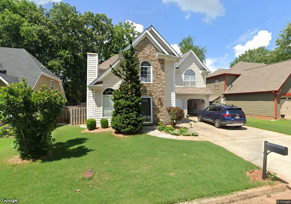
2740 Royal Bluff Decatur, GA 30030
Estimated Value: $540,028 - $576,000
3
Beds
3
Baths
1,984
Sq Ft
$284/Sq Ft
Est. Value
About This Home
This home is located at 2740 Royal Bluff, Decatur, GA 30030 and is currently estimated at $563,257, approximately $283 per square foot. 2740 Royal Bluff is a home located in DeKalb County with nearby schools including Avondale Elementary School, Druid Hills Middle School, and Druid Hills High School.
Ownership History
Date
Name
Owned For
Owner Type
Purchase Details
Closed on
Oct 30, 2002
Sold by
Finley Kara S
Bought by
Brooks Elizabeth Z
Current Estimated Value
Home Financials for this Owner
Home Financials are based on the most recent Mortgage that was taken out on this home.
Original Mortgage
$179,200
Outstanding Balance
$73,974
Interest Rate
5.95%
Mortgage Type
New Conventional
Estimated Equity
$489,283
Purchase Details
Closed on
Jun 30, 1995
Sold by
Housing Group Inc The
Bought by
Hardin Lisa D and Finley Kara S
Create a Home Valuation Report for This Property
The Home Valuation Report is an in-depth analysis detailing your home's value as well as a comparison with similar homes in the area
Home Values in the Area
Average Home Value in this Area
Purchase History
| Date | Buyer | Sale Price | Title Company |
|---|---|---|---|
| Brooks Elizabeth Z | $224,000 | -- | |
| Hardin Lisa D | $133,500 | -- |
Source: Public Records
Mortgage History
| Date | Status | Borrower | Loan Amount |
|---|---|---|---|
| Open | Brooks Elizabeth Z | $179,200 | |
| Closed | Hardin Lisa D | $0 |
Source: Public Records
Tax History
| Year | Tax Paid | Tax Assessment Tax Assessment Total Assessment is a certain percentage of the fair market value that is determined by local assessors to be the total taxable value of land and additions on the property. | Land | Improvement |
|---|---|---|---|---|
| 2025 | $5,861 | $213,120 | $52,360 | $160,760 |
| 2024 | $5,278 | $180,840 | $50,040 | $130,800 |
| 2023 | $5,278 | $179,040 | $50,040 | $129,000 |
Source: Public Records
Map
Nearby Homes
- 783 Livingstone Place
- 762 Livingstone Place
- 762 Livingston Place
- 2630 Talley St Unit 326
- 2630 Talley St Unit 3
- 2630 Talley St Unit 106
- 2630 Talley St Unit 228
- 2841 Royal Bluff
- 201 New St
- 953 Forrest Blvd
- 1044 N Carter Rd
- 1112 Ashbury Dr
- 1002 Forrest Blvd
- 102 Wilburn Ln
- 41 Clarendon Ave
- 816 S Columbia Dr
- 826 S Columbia Dr
- 64 Clarendon Ave
- 221 Oak Ln
- 1108 Walker Dr
- 2736 Royal Bluff
- 2746 Royal Bluff
- 2739 Craigie Ave
- 2732 Royal Bluff
- 2750 Royal Bluff
- 861 Ashfield Dr
- 2729 Craigie Ave
- 2726 Royal Bluff
- 2747 Craigie Ave
- 2754 Royal Bluff
- 2723 Craigie Ave
- 860 Ashfield Dr
- 2753 Craigie Ave
- 2722 Royal Bluff
- 2729 Royal Bluff
- 2758 Royal Bluff
- 788 Dalerose Ave
- 2719 Craigie Ave
- 871 Ashfield Dr
- 2744 Craigie Ave
Your Personal Tour Guide
Ask me questions while you tour the home.