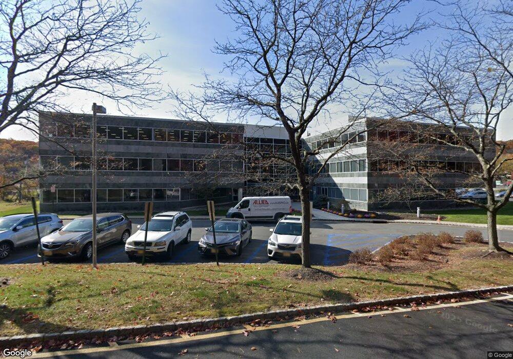
2740 State Route 10 Par-Troy Hills Twp., NJ 07950
Estimated Value: $2,479,067
--
Bed
--
Bath
6,929
Sq Ft
$358/Sq Ft
Est. Value
About This Home
This home is located at 2740 State Route 10, Par-Troy Hills Twp., NJ 07950 and is currently estimated at $2,479,067, approximately $357 per square foot. 2740 State Route 10 is a home located in Morris County with nearby schools including Mount Tabor School, Brooklawn Middle School, and Parsippany Hills High School.
Ownership History
Date
Name
Owned For
Owner Type
Purchase Details
Closed on
Sep 19, 2024
Sold by
Cerbone Carl A and Picini Richard D
Bought by
Brennan Family Gift Trust and Rubicon Partners Llc
Current Estimated Value
Purchase Details
Closed on
Jul 13, 2006
Sold by
Lrg Reality
Bought by
The State Of New Jersey
Create a Home Valuation Report for This Property
The Home Valuation Report is an in-depth analysis detailing your home's value as well as a comparison with similar homes in the area
Home Values in the Area
Average Home Value in this Area
Purchase History
| Date | Buyer | Sale Price | Title Company |
|---|---|---|---|
| Brennan Family Gift Trust | $2,250,000 | Chicago Title | |
| Brennan Family Gift Trust | $2,250,000 | Chicago Title | |
| The State Of New Jersey | -- | -- | |
| The State Of New Jersey | $250,000 | -- |
Source: Public Records
Tax History Compared to Growth
Tax History
| Year | Tax Paid | Tax Assessment Tax Assessment Total Assessment is a certain percentage of the fair market value that is determined by local assessors to be the total taxable value of land and additions on the property. | Land | Improvement |
|---|---|---|---|---|
| 2025 | $24,023 | $691,500 | $666,500 | $25,000 |
| 2024 | $23,566 | $691,500 | $666,500 | $25,000 |
| 2023 | $23,566 | $691,500 | $666,500 | $25,000 |
| 2022 | $21,927 | $691,500 | $666,500 | $25,000 |
| 2021 | $21,927 | $691,500 | $666,500 | $25,000 |
| 2020 | $21,326 | $691,500 | $666,500 | $25,000 |
| 2019 | $20,752 | $691,500 | $666,500 | $25,000 |
| 2018 | $20,164 | $691,500 | $666,500 | $25,000 |
| 2017 | $19,708 | $691,500 | $666,500 | $25,000 |
| 2016 | $19,369 | $691,500 | $666,500 | $25,000 |
| 2015 | $18,878 | $691,500 | $666,500 | $25,000 |
| 2014 | $18,601 | $691,500 | $666,500 | $25,000 |
Source: Public Records
Map
Nearby Homes
- 42 Flintlock Rd
- 77 S Powder Mill Rd
- 62 Fernview Rd
- 83 Patriots Rd
- 65 Stockton Ct
- 84 Stockton Ct
- 2467 State Route 10 Unit 12-7A
- 2467 State Route 10 Unit 3B
- 2467 State Route 10 Unit 6-B
- 2467 State Route 10 Unit 5A
- 2467 State Route 10 Unit 24-6B
- 33 Continental Rd
- 2467 Route10 Unit 1A
- 2467 New Jersey 10 Unit 6A
- 2467 New Jersey 10 Unit 1
- 2467 New Jersey 10 Unit 7A
- 2467 Route 10 Unit 4A
- 840 Mountain Way
- 2350 State Route 10 Unit D11
- 62 Brookstone Cir
- 2740 State Route 10 Unit 105-A
- 2740 New Jersey 10 Unit 201
- 2740 New Jersey 10 Unit 201
- 2740 Route 10
- 57 Flintlock Rd
- 77 Flintlock Rd
- 31 Flintlock Rd
- 97 Flintlock Rd
- 2593 State Route 10
- 39 Powder Mill Rd
- 58 Flintlock Rd
- 78 Flintlock Rd
- 38 Flintlock Rd
- 100 Flintlock Rd
- 1 Hector Rd
- 69 Powder Mill Rd
- 117 Flintlock Rd
- 120 Flintlock Rd
- 85 Fernview Rd
- 140 Flintlock Rd