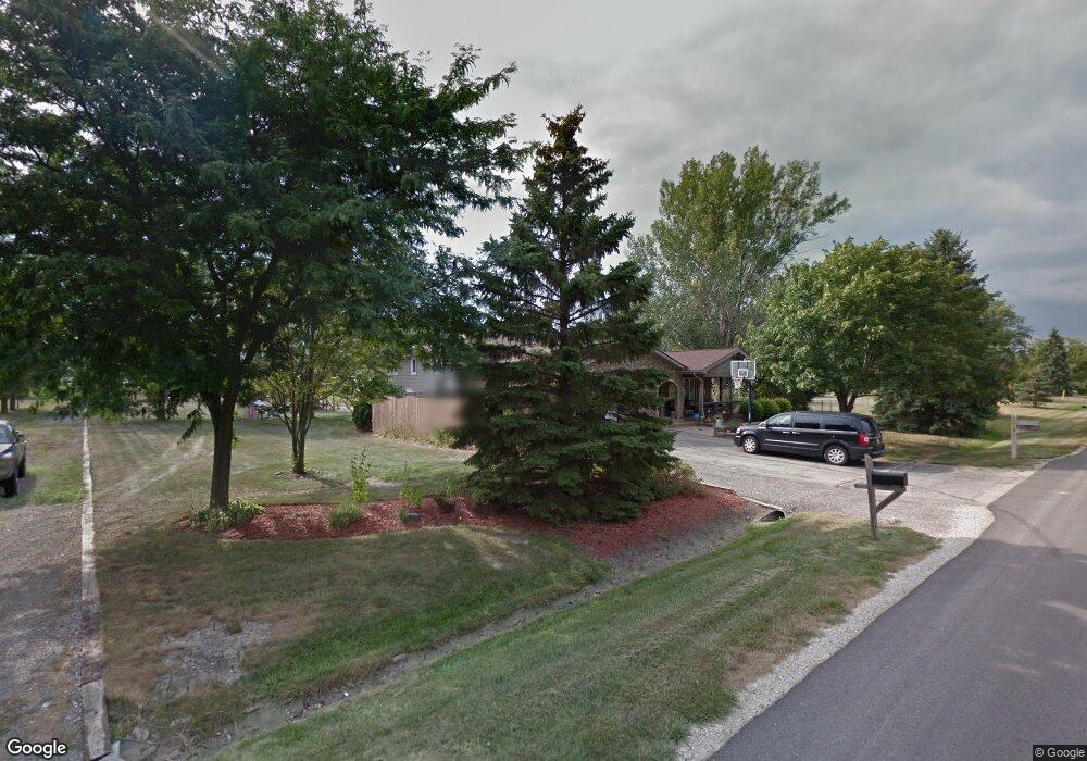
2741 Oak Rail Dr New Lenox, IL 60451
Estimated Value: $426,000 - $496,000
--
Bed
--
Bath
--
Sq Ft
1.32
Acres
About This Home
This home is located at 2741 Oak Rail Dr, New Lenox, IL 60451 and is currently estimated at $467,066. 2741 Oak Rail Dr is a home located in Will County with nearby schools including Spencer Trail, Spencer Pointe, and Spencer Crossing Intermediate School.
Ownership History
Date
Name
Owned For
Owner Type
Purchase Details
Closed on
Sep 25, 2002
Sold by
Mcmanus Lawrence and Mcmanus Sharon K
Bought by
Triner Russell J and Triner Elizabeth I
Current Estimated Value
Home Financials for this Owner
Home Financials are based on the most recent Mortgage that was taken out on this home.
Original Mortgage
$224,100
Outstanding Balance
$85,961
Interest Rate
5%
Estimated Equity
$381,105
Create a Home Valuation Report for This Property
The Home Valuation Report is an in-depth analysis detailing your home's value as well as a comparison with similar homes in the area
Home Values in the Area
Average Home Value in this Area
Purchase History
| Date | Buyer | Sale Price | Title Company |
|---|---|---|---|
| Triner Russell J | $249,000 | Chicago Title Insurance Co |
Source: Public Records
Mortgage History
| Date | Status | Borrower | Loan Amount |
|---|---|---|---|
| Open | Triner Russell J | $224,100 |
Source: Public Records
Tax History Compared to Growth
Tax History
| Year | Tax Paid | Tax Assessment Tax Assessment Total Assessment is a certain percentage of the fair market value that is determined by local assessors to be the total taxable value of land and additions on the property. | Land | Improvement |
|---|---|---|---|---|
| 2024 | $11,385 | $153,500 | $40,507 | $112,993 |
| 2023 | $11,385 | $139,927 | $36,925 | $103,002 |
| 2022 | $10,252 | $128,906 | $34,017 | $94,889 |
| 2021 | $9,738 | $121,232 | $31,992 | $89,240 |
| 2020 | $9,603 | $116,907 | $30,851 | $86,056 |
| 2019 | $9,051 | $113,282 | $29,894 | $83,388 |
| 2018 | $8,842 | $109,377 | $28,864 | $80,513 |
| 2017 | $8,394 | $106,232 | $28,034 | $78,198 |
| 2016 | $8,149 | $103,389 | $27,284 | $76,105 |
| 2015 | $7,837 | $100,134 | $26,425 | $73,709 |
| 2014 | $7,837 | $98,898 | $26,099 | $72,799 |
| 2013 | $7,837 | $100,231 | $26,451 | $73,780 |
Source: Public Records
Map
Nearby Homes
- 2980 Oak Rail Dr
- 1401 Ottawa Dr
- 22559 S Country Ln
- 2124 Sky Harbor Dr
- 2125 Sky Harbor Dr
- 2165 High View Rd
- 2164 Sky Harbor Dr
- 2166 Sky Harbor Dr
- 2185 Bristol Park Rd
- 500 E Laraway Rd
- 550 E Laraway Rd
- 2067 Edgeview Dr
- 911 Canongate Ln
- 2461 Stone Creek Dr
- 2451 Stone Creek Dr
- 2421 Stone Creek Dr
- 2019 Royalglen Dr
- 575 Caledonia Dr
- 2401 Stone Creek Dr
- 2391 Stone Creek Dr
- 1504 Pheasant Ln
- 2761 Oak Rail Dr
- 2720 Oak Rail Dr
- 2740 Oak Rail Dr
- 2760 Oak Rail Dr
- 1500 Pheasant Ln
- 1508 Pheasant Ln
- 2801 Oak Rail Dr
- 2780 Oak Rail Dr
- 1503 Pheasant Ln
- 1600 Pheasant Ln
- 2800 Oak Rail Dr
- 2761 Farm View Rd
- 1501 Pheasant Ln
- 1507 Pheasant Ln
- 1602 Pheasant Ln
- 2801 Farm View Rd
- 2671 Oak Rail Dr
- 2820 Oak Rail Dr Unit 1
- 1601 Pheasant Ln