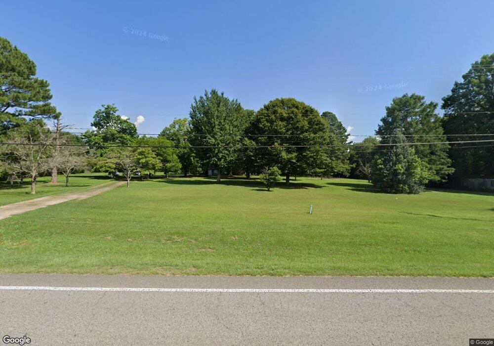
27420 State Highway 79 Locust Fork, AL 35097
Estimated Value: $295,000 - $392,000
--
Bed
--
Bath
2,047
Sq Ft
$168/Sq Ft
Est. Value
About This Home
This home is located at 27420 State Highway 79, Locust Fork, AL 35097 and is currently estimated at $344,158, approximately $168 per square foot. 27420 State Highway 79 is a home located in Blount County with nearby schools including Locust Fork Elementary School and Locust Fork High School.
Ownership History
Date
Name
Owned For
Owner Type
Purchase Details
Closed on
Dec 20, 2021
Sold by
Drake Davis Alexander
Bought by
Mccarn Michael J and Mccarn Amanda
Current Estimated Value
Home Financials for this Owner
Home Financials are based on the most recent Mortgage that was taken out on this home.
Original Mortgage
$304,385
Outstanding Balance
$279,464
Interest Rate
2.98%
Mortgage Type
FHA
Estimated Equity
$64,694
Purchase Details
Closed on
Jun 13, 2014
Sold by
William O William O and Dollar Linda S
Bought by
Cates Lyle L and Cates Candace M
Home Financials for this Owner
Home Financials are based on the most recent Mortgage that was taken out on this home.
Original Mortgage
$139,650
Interest Rate
4.23%
Mortgage Type
New Conventional
Create a Home Valuation Report for This Property
The Home Valuation Report is an in-depth analysis detailing your home's value as well as a comparison with similar homes in the area
Home Values in the Area
Average Home Value in this Area
Purchase History
| Date | Buyer | Sale Price | Title Company |
|---|---|---|---|
| Mccarn Michael J | $310,000 | Logan Meredith R | |
| Cates Lyle L | $147,000 | -- |
Source: Public Records
Mortgage History
| Date | Status | Borrower | Loan Amount |
|---|---|---|---|
| Open | Mccarn Michael J | $304,385 | |
| Previous Owner | Cates Lyle L | $139,650 |
Source: Public Records
Tax History Compared to Growth
Tax History
| Year | Tax Paid | Tax Assessment Tax Assessment Total Assessment is a certain percentage of the fair market value that is determined by local assessors to be the total taxable value of land and additions on the property. | Land | Improvement |
|---|---|---|---|---|
| 2024 | $1,153 | $32,280 | $4,860 | $27,420 |
| 2023 | $1,153 | $30,160 | $4,860 | $25,300 |
| 2022 | $801 | $22,900 | $4,860 | $18,040 |
| 2021 | $614 | $17,920 | $3,060 | $14,860 |
| 2020 | $584 | $15,840 | $2,920 | $12,920 |
| 2019 | $536 | $15,840 | $2,920 | $12,920 |
| 2018 | $573 | $16,820 | $2,920 | $13,900 |
| 2017 | $640 | $18,600 | $0 | $0 |
| 2015 | $640 | $18,600 | $0 | $0 |
| 2014 | -- | $18,600 | $0 | $0 |
| 2013 | -- | $18,080 | $0 | $0 |
Source: Public Records
Map
Nearby Homes
- 89 Pine Tree Dr
- 55 Honeycutt Rd
- 496 Tawbush Rd
- 0 Center Hill Rd
- 25942 Alabama 79
- 4540 Spunky Hollow Rd
- 25465 Alabama 79
- 25335 Alabama 79
- 25335 State Highway 79
- 159 Ray Dr
- 29542 Alabama 79
- 312 Lehigh Rd
- 87 Youngblood Ln
- #0 Shady Point Rd Unit 18, 18 & 19
- 63 Avery Hancock Dr
- 3251 County Highway 13
- 60 Wortham Rd
- 640 Gilman Bend Rd
- 178 Jerry Marsh Rd
- 4216 Sand Valley Rd
- 27420 Alabama 79
- 164 Curtis Richey Rd
- 27352 State Highway 79
- 40 Curtis Richey Rd
- 27437 State Highway 79
- 142 Curtis Richey Rd
- 142 Curtis Richey Rd
- 142 Curtis Richey Rd
- 0 Deaver Walker Rd
- 0 Deaver Walker Rd Unit 437008
- 0 Deaver Walker Rd Unit 19 AC 603659
- 27467 State Highway 79
- 27300 State Highway 79
- 27274 State Highway 79
- 387 Payton Ln
- 27341 State Highway 79
- 499 Payton Ln
- 455 Payton Ln
- 220 Curtis Richey Rd
- 141 Curtis Richey Rd
