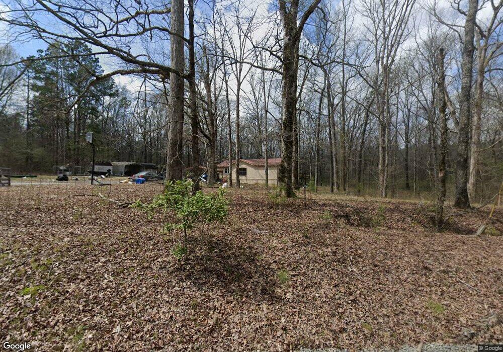
27421 Porter Rd Hensley, AR 72065
Estimated Value: $128,235 - $192,000
--
Bed
1
Bath
1,432
Sq Ft
$104/Sq Ft
Est. Value
About This Home
This home is located at 27421 Porter Rd, Hensley, AR 72065 and is currently estimated at $149,059, approximately $104 per square foot. 27421 Porter Rd is a home located in Saline County with nearby schools including Sheridan High School.
Ownership History
Date
Name
Owned For
Owner Type
Purchase Details
Closed on
Oct 10, 2007
Sold by
Campbell Norman Larry and Campbell Cindy
Bought by
Gary Andrew
Current Estimated Value
Purchase Details
Closed on
Sep 25, 2002
Bought by
Gray
Purchase Details
Closed on
Dec 29, 1997
Bought by
Jobe
Purchase Details
Closed on
Jan 31, 1997
Bought by
Matthew
Purchase Details
Closed on
Sep 1, 1991
Bought by
Talbot -Quit
Purchase Details
Closed on
Jun 1, 1991
Bought by
Porter
Create a Home Valuation Report for This Property
The Home Valuation Report is an in-depth analysis detailing your home's value as well as a comparison with similar homes in the area
Home Values in the Area
Average Home Value in this Area
Purchase History
| Date | Buyer | Sale Price | Title Company |
|---|---|---|---|
| Gary Andrew | -- | -- | |
| Gray | -- | -- | |
| Jobe | $50,000 | -- | |
| Porter | -- | -- | |
| Matthew | $17,000 | -- | |
| Talbot -Quit | -- | -- | |
| Porter | -- | -- | |
| Campbell | -- | -- |
Source: Public Records
Tax History Compared to Growth
Tax History
| Year | Tax Paid | Tax Assessment Tax Assessment Total Assessment is a certain percentage of the fair market value that is determined by local assessors to be the total taxable value of land and additions on the property. | Land | Improvement |
|---|---|---|---|---|
| 2025 | $652 | $14,259 | $3,944 | $10,315 |
| 2024 | $597 | $14,259 | $3,944 | $10,315 |
| 2023 | $367 | $14,259 | $3,944 | $10,315 |
| 2022 | $417 | $14,259 | $3,944 | $10,315 |
| 2021 | $385 | $14,550 | $1,850 | $12,700 |
| 2020 | $385 | $14,550 | $1,850 | $12,700 |
| 2019 | $385 | $14,550 | $1,850 | $12,700 |
| 2018 | $410 | $14,550 | $1,850 | $12,700 |
| 2017 | $410 | $14,550 | $1,850 | $12,700 |
| 2016 | $607 | $14,480 | $1,850 | $12,630 |
| 2015 | $322 | $14,480 | $1,850 | $12,630 |
| 2014 | $319 | $13,790 | $1,850 | $11,940 |
Source: Public Records
Map
Nearby Homes
- 2453 Deerwood Dr
- 348 Alyece Ln
- 188 Kelton Ln
- 157 Kelton Ln
- 149 Kelton Ln
- 12697 Highway 167 N
- Lot 10 Three Corners Acres
- 11217 River Valley Dr
- 11201 River Valley Dr
- RC Taylor Plan at Springlake Trails
- RC Carlie II Plan at Springlake Trails
- RC Foster II Plan at Springlake Trails
- RC Franklin Plan at Springlake Trails
- RC Tucson Plan at Springlake Trails
- RC Magnolia Plan at Springlake Trails
- RC Coleman Plan at Springlake Trails
- RC Carnegie II Plan at Springlake Trails
- RC Bridgeport Plan at Springlake Trails
- RC Keswick Plan at Springlake Trails
- LOT 18 Grant 58
- 27512 Porter Rd
- 27515 Porter Rd
- 26001 Porter Rd
- 27200 Porter Rd
- 25201 Porter Rd
- 26541 Davis Rd
- 26626 Davis Rd
- 27925 Porter Rd
- 27701 Porter Rd
- 28218 S Springlake Rd
- 28114 S Springlake Rd
- 28008 S Springlake Rd
- 27916 S Springlake Rd
- 27920 S Springlake Rd
- 27900 S Springlake Rd
- 27804 S Springlake Rd
- 27714 S Springlake Rd