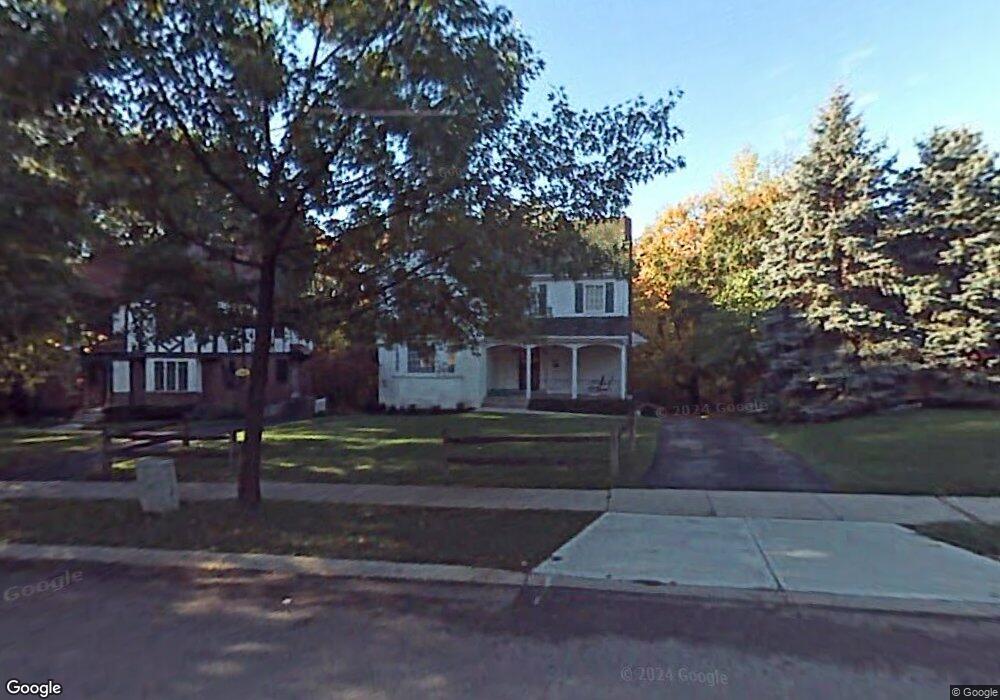
2743 Eugenie Ln Cincinnati, OH 45211
Westwood NeighborhoodEstimated Value: $259,813 - $286,000
About This Home
This home is located at 2743 Eugenie Ln, Cincinnati, OH 45211 and is currently estimated at $268,703, approximately $156 per square foot. 2743 Eugenie Ln is a home located in Hamilton County with nearby schools including Western Hills High School, Gilbert A. Dater High School, and Robert A. Taft Information Technology High School.
Ownership History
We collect this data history from publicly available records. To have your information removed, we recommend requesting removal directly through your county’s website.
Purchase Details
Purchase Details
Home Values in the Area
Average Home Value in this Area
Purchase History
We collect this data history from publicly available records. To have your information removed, we recommend requesting removal directly through your county’s website.
| Date | Buyer | Sale Price | Title Company |
|---|---|---|---|
| -- | None Listed On Document | ||
| -- | -- |
Tax History
We collect this data history from publicly available records. To have your information removed, we recommend requesting removal directly through your county’s website.
| Year | Tax Paid | Tax Assessment Tax Assessment Total Assessment is a certain percentage of the fair market value that is determined by local assessors to be the total taxable value of land and additions on the property. | Land | Improvement |
|---|---|---|---|---|
| 2025 | $3,620 | $58,643 | $4,890 | $53,753 |
| 2023 | $3,590 | $58,643 | $4,890 | $53,753 |
| 2022 | $2,542 | $37,177 | $4,270 | $32,907 |
| 2021 | $2,446 | $37,177 | $4,270 | $32,907 |
| 2020 | $2,516 | $37,177 | $4,270 | $32,907 |
| 2019 | $2,500 | $33,797 | $3,882 | $29,915 |
| 2018 | $2,504 | $33,797 | $3,882 | $29,915 |
| 2017 | $2,379 | $33,797 | $3,882 | $29,915 |
| 2016 | $2,184 | $30,559 | $4,960 | $25,599 |
| 2015 | $1,969 | $30,559 | $4,960 | $25,599 |
| 2014 | $1,983 | $30,559 | $4,960 | $25,599 |
| 2013 | $2,191 | $33,215 | $5,390 | $27,825 |
Map
- 2850 Gilna Ct
- 2845 Dunaway Ave
- 2824 Lafeuille Ave
- 2814 Harrison Ave
- 2654 Ocosta Ave
- 2859 Harrison Ave
- 2751 Westbrook Dr
- 2868 Dirheim Ave
- 2942 Woodrow Ave
- 2886 Shaffer Ave
- 2859 Fischer Place
- 2551 Harrison Ave
- 2545 Harrison Ave
- 3111 Bracken Woods Ln
- 2945 Mignon Ave
- 3230 Epworth Ave
- 3127 Bracken Woods Ln
- 2640 Gehrum Ln
- 3143 Bracken Woods Ln
- 2885 W Tower Ave
- 2739 Eugenie Ln
- 2747 Eugenie Ln
- 2751 Eugenie Ln
- 2746 Eugenie Ln
- 2740 Eugenie Ln
- 2752 Eugenie Ln
- 2727 Eugenie Ln
- 2759 Eugenie Ln
- 2763 Eugenie Ln
- 2720 Eugenie Ln
- 2764 Eugenie Ln
- 2727 Werkastle Ln
- 2729 Eugenie Ln
- 2719 Eugenie Ln
- 2767 Eugenie Ln
- 2768 Eugenie Ln
- 2715 Eugenie Ln
- 2771 Eugenie Ln
- 2739 Werkastle Ln
- 2713 Eugenie Ln
Ask me questions while you tour the home.