27437 Killdeer Ave Wilton, WI 54670
Estimated Value: $211,000 - $385,000
Studio
--
Bath
--
Sq Ft
538,402
Sq Ft Lot
About This Home
This home is located at 27437 Killdeer Ave, Wilton, WI 54670 and is currently estimated at $283,873. 27437 Killdeer Ave is a home with nearby schools including Royall Elementary School and Royall High School.
Ownership History
Date
Name
Owned For
Owner Type
Purchase Details
Closed on
Aug 3, 2020
Sold by
Hefner Kathy A
Bought by
Mayberry Tara J and Mayberry Shannon
Current Estimated Value
Home Financials for this Owner
Home Financials are based on the most recent Mortgage that was taken out on this home.
Original Mortgage
$247,500
Outstanding Balance
$217,499
Interest Rate
3.1%
Mortgage Type
New Conventional
Estimated Equity
$66,374
Purchase Details
Closed on
Jun 10, 2013
Sold by
Hefner Mark E
Bought by
Hefner Dwayne M and Hefner Kathy A
Purchase Details
Closed on
Apr 8, 2013
Sold by
Hefner Marke E
Bought by
Hefner Dwayne M and Hefner Kathy A
Create a Home Valuation Report for This Property
The Home Valuation Report is an in-depth analysis detailing your home's value as well as a comparison with similar homes in the area
Purchase History
| Date | Buyer | Sale Price | Title Company |
|---|---|---|---|
| Mayberry Tara J | $275,000 | Monroe County Title | |
| Hefner Dwayne M | -- | Rice Heitman & Davis Sc | |
| Hefner Dwayne M | -- | Rice Heitman & Davis Sc |
Source: Public Records
Mortgage History
| Date | Status | Borrower | Loan Amount |
|---|---|---|---|
| Open | Mayberry Tara J | $247,500 |
Source: Public Records
Tax History
| Year | Tax Paid | Tax Assessment Tax Assessment Total Assessment is a certain percentage of the fair market value that is determined by local assessors to be the total taxable value of land and additions on the property. | Land | Improvement |
|---|---|---|---|---|
| 2025 | $3,077 | $137,200 | $40,900 | $96,300 |
| 2024 | $2,768 | $137,200 | $40,900 | $96,300 |
| 2023 | $2,598 | $137,200 | $40,900 | $96,300 |
| 2022 | $2,310 | $137,200 | $40,900 | $96,300 |
| 2021 | $1,845 | $119,500 | $40,900 | $78,600 |
| 2020 | $1,800 | $119,500 | $40,900 | $78,600 |
| 2019 | $1,481 | $89,000 | $32,200 | $56,800 |
| 2018 | $1,669 | $89,000 | $32,200 | $56,800 |
| 2017 | $1,735 | $89,000 | $32,200 | $56,800 |
| 2016 | $1,546 | $89,000 | $32,200 | $56,800 |
| 2015 | $1,875 | $89,000 | $32,200 | $56,800 |
| 2014 | $1,524 | $89,000 | $32,200 | $56,800 |
| 2011 | $1,591 | $85,400 | $28,600 | $56,800 |
Source: Public Records
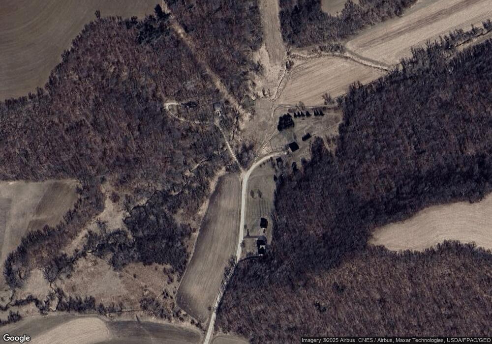
Map
Nearby Homes
- 0 Mimosa Rd Unit 2010632
- 24503 Livingston Rd
- 32.18 acres Monarch Ave
- 22855 Kettle Rd
- 308 Main St
- 30112 Moccasin Ave
- 906 Center St
- 910 Water St
- 22450 Kodiak Rd
- 23217 Lyndale Rd
- 513 Medbury St
- 203 George St
- 119 W Hall St
- Lot 2 Honeycut Ave
- 204 E South Railroad St
- 31201 Nova Ave
- 25005 Norhardt Ave
- 17614 Interland Ave
- 25024 Norhardt Ave
- 17595 Interior Rd
Your Personal Tour Guide
Ask me questions while you tour the home.