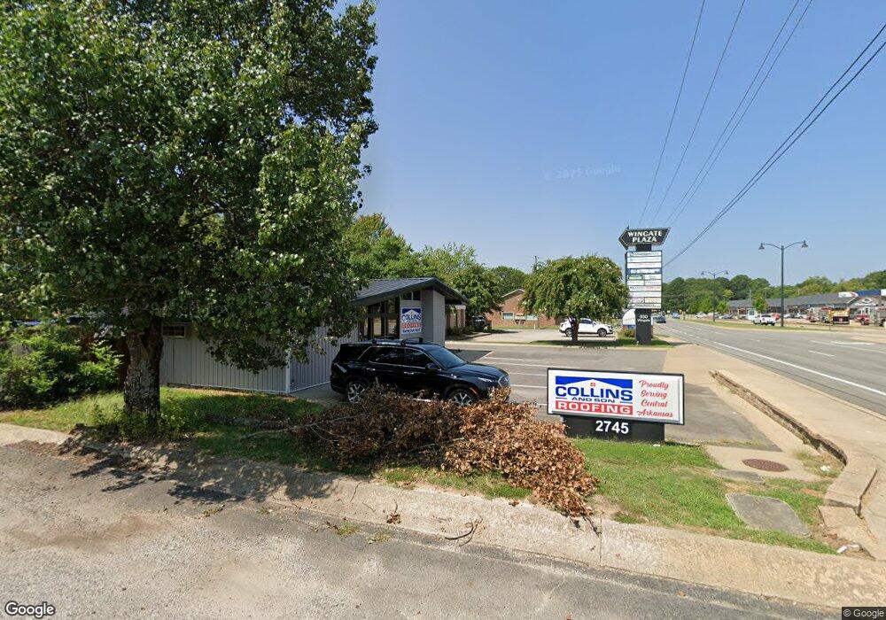
2745 Prince St Conway, AR 72034
Downtown Conway NeighborhoodEstimated Value: $252,000 - $335,520
--
Bed
--
Bath
1,702
Sq Ft
$165/Sq Ft
Est. Value
About This Home
This home is located at 2745 Prince St, Conway, AR 72034 and is currently estimated at $280,880, approximately $165 per square foot. 2745 Prince St is a home located in Faulkner County with nearby schools including Marguerite Vann Elementary School, Conway Junior High School, and Carl Stuart Middle School.
Ownership History
Date
Name
Owned For
Owner Type
Purchase Details
Closed on
Feb 13, 2024
Sold by
Glenwood Plaza Llc
Bought by
M & K Property Holding Llc
Current Estimated Value
Home Financials for this Owner
Home Financials are based on the most recent Mortgage that was taken out on this home.
Original Mortgage
$252,000
Outstanding Balance
$241,309
Interest Rate
6.61%
Mortgage Type
New Conventional
Estimated Equity
$39,571
Purchase Details
Closed on
Oct 24, 2018
Sold by
Salter Tony and Salter Reda
Bought by
Glenwood Plaza Llc
Purchase Details
Closed on
Nov 8, 2004
Bought by
Salter
Purchase Details
Closed on
Nov 5, 2004
Bought by
Salter
Purchase Details
Closed on
Apr 9, 1996
Bought by
Swbt
Create a Home Valuation Report for This Property
The Home Valuation Report is an in-depth analysis detailing your home's value as well as a comparison with similar homes in the area
Home Values in the Area
Average Home Value in this Area
Purchase History
| Date | Buyer | Sale Price | Title Company |
|---|---|---|---|
| M & K Property Holding Llc | $315,000 | Faulkner County Title | |
| Glenwood Plaza Llc | $257,000 | Faulkner County Title Compan | |
| Salter | $125,000 | -- | |
| Salter | $125,000 | -- | |
| Swbt | -- | -- |
Source: Public Records
Mortgage History
| Date | Status | Borrower | Loan Amount |
|---|---|---|---|
| Open | M & K Property Holding Llc | $252,000 |
Source: Public Records
Tax History Compared to Growth
Tax History
| Year | Tax Paid | Tax Assessment Tax Assessment Total Assessment is a certain percentage of the fair market value that is determined by local assessors to be the total taxable value of land and additions on the property. | Land | Improvement |
|---|---|---|---|---|
| 2025 | $2,483 | $49,080 | $17,890 | $31,190 |
| 2024 | $2,066 | $49,080 | $17,890 | $31,190 |
| 2023 | $1,878 | $37,120 | $13,760 | $23,360 |
| 2022 | $1,878 | $37,120 | $13,760 | $23,360 |
| 2021 | $1,815 | $37,120 | $13,760 | $23,360 |
| 2020 | $1,650 | $32,600 | $13,760 | $18,840 |
| 2019 | $1,650 | $32,600 | $13,760 | $18,840 |
| 2018 | $1,650 | $32,600 | $13,760 | $18,840 |
| 2017 | $1,650 | $32,600 | $13,760 | $18,840 |
| 2016 | $1,650 | $32,600 | $13,760 | $18,840 |
| 2015 | $2,029 | $40,100 | $19,260 | $20,840 |
| 2014 | $2,029 | $42,120 | $21,280 | $20,840 |
Source: Public Records
Map
Nearby Homes
- 2585 Adamsbrooke Dr
- 2550 Adamsbrooke Dr
- 1145 Salem Rd
- 1205 Salem Rd
- 10 W Post Oak Dr
- 879 Heather Cir
- 1240 Salem Rd
- 4 Fernwood Dr
- 8 Smoking Oaks Rd
- 11 Red Oak Dr
- 46 Shady Lane Dr
- 2850 Carmichael Dr
- 1307 Hillcrest Dr
- 2405 Meadow Dr
- 1308 Hillcrest Dr
- 15 Covewood Dr
- 207 Fairway Dr
- 50 White Oak Dr
- 1130 Applewood Dr
- 3115 Tyler St
- 930 Wingate Suite D-2 Dr
- 0 Wingate Drive Suite C-2
- 965 Carson Cove
- 930 Wingate St
- 930 Wingate St
- 930 Wingate St
- 930 Wingate St Unit E-3
- 930 Wingate St
- 930 Wingate Dr Unit E-3
- 930 Wingate Dr
- 930 Wingate St Unit Building C Suite 2
- 930 Wingate St
- 930 Wingate St
- 930 Wingate St
- 0 Wingate Dr Suite B-3
- 0 Wingate Dr Suite E-11
- 0 Wingate Drive Ste E-7
- 0 Wingate Dr Ste B-1
- 0 Wingate Dr Ste B-2
- 1020 Holiday Dr