2746 Pauls Path Rd Kinston, NC 28504
Estimated Value: $290,000 - $435,000
3
Beds
4
Baths
2,344
Sq Ft
$162/Sq Ft
Est. Value
About This Home
This home is located at 2746 Pauls Path Rd, Kinston, NC 28504 and is currently estimated at $379,135, approximately $161 per square foot. 2746 Pauls Path Rd is a home located in Lenoir County with nearby schools including Banks Elementary School, E.B. Frink Middle School, and North Lenoir High School.
Ownership History
Date
Name
Owned For
Owner Type
Purchase Details
Closed on
Dec 4, 2009
Sold by
Jarman Christopher W and Jarman Misty L
Bought by
Mcintosh Danny R and Mcintosh Angela P
Current Estimated Value
Home Financials for this Owner
Home Financials are based on the most recent Mortgage that was taken out on this home.
Original Mortgage
$235,000
Outstanding Balance
$153,289
Interest Rate
4.98%
Mortgage Type
New Conventional
Estimated Equity
$225,846
Create a Home Valuation Report for This Property
The Home Valuation Report is an in-depth analysis detailing your home's value as well as a comparison with similar homes in the area
Home Values in the Area
Average Home Value in this Area
Purchase History
| Date | Buyer | Sale Price | Title Company |
|---|---|---|---|
| Mcintosh Danny R | $300,000 | -- |
Source: Public Records
Mortgage History
| Date | Status | Borrower | Loan Amount |
|---|---|---|---|
| Open | Mcintosh Danny R | $235,000 |
Source: Public Records
Tax History Compared to Growth
Tax History
| Year | Tax Paid | Tax Assessment Tax Assessment Total Assessment is a certain percentage of the fair market value that is determined by local assessors to be the total taxable value of land and additions on the property. | Land | Improvement |
|---|---|---|---|---|
| 2025 | $2,885 | $384,586 | $33,792 | $350,794 |
| 2024 | $2,203 | $232,824 | $21,734 | $211,090 |
| 2023 | $2,191 | $232,824 | $21,734 | $211,090 |
| 2022 | $2,191 | $232,824 | $21,734 | $211,090 |
| 2021 | $2,185 | $232,824 | $21,734 | $211,090 |
| 2020 | $2,185 | $232,824 | $21,734 | $211,090 |
| 2019 | $2,191 | $232,824 | $21,734 | $211,090 |
| 2018 | $2,159 | $232,824 | $21,734 | $211,090 |
| 2017 | $2,162 | $232,824 | $21,734 | $211,090 |
| 2014 | $2,481 | $272,156 | $21,735 | $250,421 |
| 2013 | -- | $272,156 | $21,735 | $250,421 |
| 2011 | -- | $272,156 | $21,735 | $250,421 |
Source: Public Records
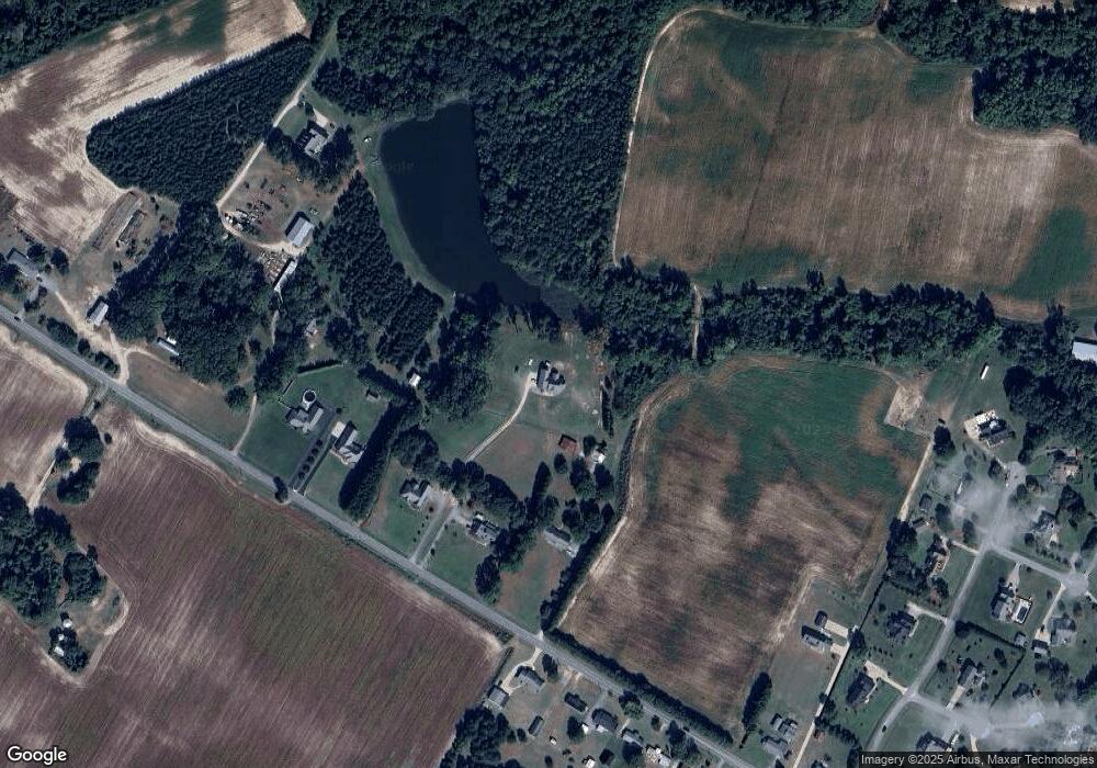
Map
Nearby Homes
- 3128 Kelly Rd
- 2886 Fox Run Cir
- 2912 Fox Run Cir
- 2712 Stokes Cir
- 2683 Stokes Cir
- 2673 Stokes Cir
- 2746 Pinewood Dr
- 3145 Lakewood Dr Unit 3155
- 3178 Alton Phillips Rd
- 2443 Creekside Rd
- Lot 2 Branchwood Dr
- 2445 Tammy Dr
- 2585 Cabin Branch Rd
- 3255 Caroline Nicole Dr
- 2526 Moulton Dr
- 3216 Dexter Cir
- 2544 Dogwood Ln
- 2321 Fred Everett Rd
- 2193 Dogwood Ln
- 3711 Drew Farmer Rd
- 2712 Pauls Path Rd
- 2738 Pauls Path Rd
- 2756 Pauls Path Rd
- 2762 Pauls Path Rd
- 2776 Pauls Path Rd
- 2770 Pauls Path Rd
- 2705 Pauls Path Rd
- 2695 Pauls Path Rd
- 2846 Pauls Path Rd
- 2677 Pauls Path Rd
- 2630 Pauls Path Rd
- 2667 Pauls Path Rd
- 2840 Kelly Rd
- 2880 Churchill Dr
- 2892 Churchill Dr
- 2856 Churchill Dr
- 2632 Pauls Path Rd
- 2832 Churchill Dr
- 2649 Pauls Path Rd
- 2910 Churchill Dr