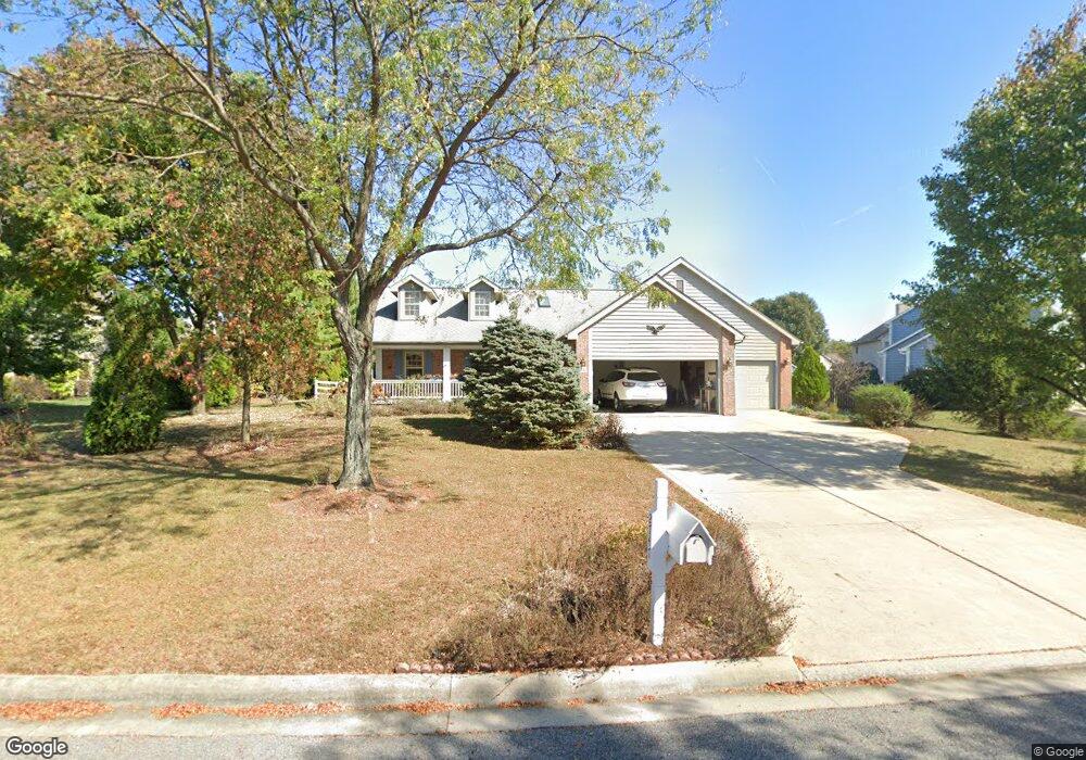
2747 Cannon Cir Lewis Center, OH 43035
Orange NeighborhoodEstimated Value: $513,194 - $558,000
3
Beds
3
Baths
2,100
Sq Ft
$251/Sq Ft
Est. Value
About This Home
This home is located at 2747 Cannon Cir, Lewis Center, OH 43035 and is currently estimated at $526,549, approximately $250 per square foot. 2747 Cannon Cir is a home located in Delaware County with nearby schools including Arrowhead Elementary School, Olentangy Shanahan Middle School, and Olentangy High School.
Ownership History
Date
Name
Owned For
Owner Type
Purchase Details
Closed on
Sep 23, 2002
Sold by
Lemon Shirley A
Bought by
Peuples Max J and Peuples Nancy J
Current Estimated Value
Purchase Details
Closed on
Mar 2, 1998
Sold by
P & D Builders Inc
Bought by
Lemon Roger A and Lemon Shirley A
Home Financials for this Owner
Home Financials are based on the most recent Mortgage that was taken out on this home.
Original Mortgage
$98,500
Interest Rate
6.95%
Mortgage Type
New Conventional
Create a Home Valuation Report for This Property
The Home Valuation Report is an in-depth analysis detailing your home's value as well as a comparison with similar homes in the area
Home Values in the Area
Average Home Value in this Area
Purchase History
| Date | Buyer | Sale Price | Title Company |
|---|---|---|---|
| Peuples Max J | $247,000 | -- | |
| Lemon Roger A | $202,318 | -- |
Source: Public Records
Mortgage History
| Date | Status | Borrower | Loan Amount |
|---|---|---|---|
| Previous Owner | Lemon Roger A | $98,500 |
Source: Public Records
Tax History Compared to Growth
Tax History
| Year | Tax Paid | Tax Assessment Tax Assessment Total Assessment is a certain percentage of the fair market value that is determined by local assessors to be the total taxable value of land and additions on the property. | Land | Improvement |
|---|---|---|---|---|
| 2024 | $7,566 | $147,000 | $34,930 | $112,070 |
| 2023 | $7,628 | $147,000 | $34,930 | $112,070 |
| 2022 | $6,912 | $110,320 | $22,050 | $88,270 |
| 2021 | $6,951 | $110,320 | $22,050 | $88,270 |
| 2020 | $6,984 | $110,320 | $22,050 | $88,270 |
| 2019 | $5,972 | $98,810 | $22,050 | $76,760 |
| 2018 | $5,999 | $98,810 | $22,050 | $76,760 |
| 2017 | $5,938 | $88,140 | $17,820 | $70,320 |
| 2016 | $5,633 | $88,140 | $17,820 | $70,320 |
| 2015 | $5,140 | $88,140 | $17,820 | $70,320 |
| 2014 | $5,213 | $88,140 | $17,820 | $70,320 |
| 2013 | $5,333 | $88,140 | $17,820 | $70,320 |
Source: Public Records
Map
Nearby Homes
- 5491 Sandy Dr
- 2948 Prairie Dr
- 2868 Lewis Center Rd
- 5669 Maplewood Ct
- 2946 Lewis Center Rd
- 2241 Red Oak St
- 5450 Maple Dr
- 5737 Butternut Dr
- 5390 Maple Dr
- 3175 Briarwood Ln
- 3186 Briarwood Ln
- 3290 Briarwood Ln
- 3277 Briarwood Ln
- 5566 Evans Farm Dr
- 2567 Carmel Dr
- 1956 Leopold Dr
- 5766 Hickory Dr
- 2070 Alum Village Dr
- 5618 Hickory Dr
- 5084 Maple Dr
- 2775 Cannon Cir
- 2766 Bryn Mawr Dr
- 2800 Bryn Mawr Dr
- 0 Cannon Cir
- 2811 Cannon Cir
- 2750 Cannon Cir
- 2744 Cannon Cir
- 2762 Cannon Cir
- 2835 Cannon Cir
- 2780 Cannon Cir
- 2714 Bryn Mawr Dr
- 2745 Bryn Mawr Dr
- 2832 Bryn Mawr Dr
- 5463 Stone Place
- 2798 Cannon Cir
- 2818 Cannon Cir
- 5525 Sandy Dr
- 2815 Bryn Mawr Dr
- 2686 Bryn Mawr Dr
- 5448 Stone Place