2747 Monica Ln Richfield, WI 53076
Estimated Value: $791,000 - $955,000
--
Bed
--
Bath
--
Sq Ft
5.61
Acres
About This Home
This home is located at 2747 Monica Ln, Richfield, WI 53076 and is currently estimated at $853,707. 2747 Monica Ln is a home with nearby schools including Rockfield Elementary School, Kennedy Middle School, and Germantown High School.
Ownership History
Date
Name
Owned For
Owner Type
Purchase Details
Closed on
Jul 26, 2017
Sold by
Wolf Brothers Fuel Inc
Bought by
Reiter Todd J and Reiter Tamara L
Current Estimated Value
Home Financials for this Owner
Home Financials are based on the most recent Mortgage that was taken out on this home.
Original Mortgage
$583,400
Outstanding Balance
$484,018
Interest Rate
3.75%
Mortgage Type
Adjustable Rate Mortgage/ARM
Estimated Equity
$369,689
Create a Home Valuation Report for This Property
The Home Valuation Report is an in-depth analysis detailing your home's value as well as a comparison with similar homes in the area
Home Values in the Area
Average Home Value in this Area
Purchase History
| Date | Buyer | Sale Price | Title Company |
|---|---|---|---|
| Reiter Todd J | $98,000 | Prism Title Services Llc |
Source: Public Records
Mortgage History
| Date | Status | Borrower | Loan Amount |
|---|---|---|---|
| Open | Reiter Todd J | $583,400 |
Source: Public Records
Tax History Compared to Growth
Tax History
| Year | Tax Paid | Tax Assessment Tax Assessment Total Assessment is a certain percentage of the fair market value that is determined by local assessors to be the total taxable value of land and additions on the property. | Land | Improvement |
|---|---|---|---|---|
| 2024 | $8,294 | $725,300 | $166,500 | $558,800 |
| 2023 | $7,528 | $725,300 | $166,500 | $558,800 |
| 2022 | $7,009 | $516,300 | $133,200 | $383,100 |
| 2021 | $6,918 | $516,300 | $133,200 | $383,100 |
| 2020 | $7,046 | $516,300 | $133,200 | $383,100 |
| 2019 | $6,523 | $516,300 | $133,200 | $383,100 |
| 2018 | $3,610 | $278,600 | $126,200 | $152,400 |
| 2017 | $24 | $1,900 | $1,900 | $0 |
| 2016 | $23 | $1,900 | $1,900 | $0 |
| 2015 | $20 | $1,900 | $1,900 | $0 |
| 2014 | $20 | $1,600 | $1,600 | $0 |
| 2013 | $18 | $1,500 | $1,500 | $0 |
Source: Public Records
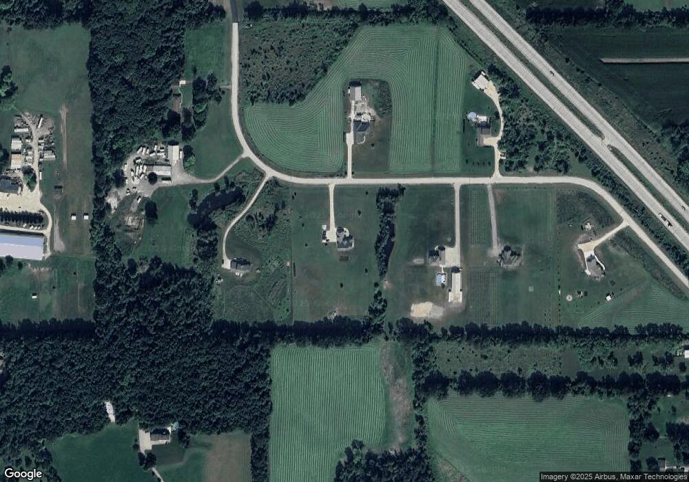
Map
Nearby Homes
- 3050 Dr
- 1015 High Ridge Trail
- 975 High Ridge Trail
- 1009 High Ridge Trail
- 998 High Ridge Trail
- 986 High Ridge Trail
- 980 High Ridge Trail
- 1020 High Ridge Trail
- 966 High Ridge Trail
- 1012 High Ridge Trail
- 2688 County Highway P
- 3790 Sherman Rd
- N161W21960 Daisy Dr
- 1900 Hillside Rd
- 2300 Sherman Rd
- N162W21835 Poppy Rd
- The Hudson Plan at Morning Meadows
- The Laurel Plan at Morning Meadows
- The Prescott Plan at Morning Meadows
- The Neenah Plan at Morning Meadows
- 2745 Monica Ln
- 2815 Amanda Ct
- 2757 Amanda Ct
- 2749 Monica Ln
- 2727 Monica Ln
- 2835 Amanda Ct
- 2816 Amanda Ct
- 3424 Mayfield Ct
- 2681 Mayfield Rd
- 2620 State Road 175
- 3296 Outpost Ln
- 2825 Outpost Ln
- 2633 Mayfield Rd
- 2669 Mayfield Rd
- 2746 Monica Ln
- 2815 Mayfield Rd
- 2744 Monica Ln
- 2663 Mayfield Rd
- 2743 Monica Ln
- 2815 Outpost Ln