2748 Lower Bear Paw Rd Murphy, NC 28906
Estimated Value: $300,561 - $402,000
2
Beds
2
Baths
1,748
Sq Ft
$194/Sq Ft
Est. Value
About This Home
This home is located at 2748 Lower Bear Paw Rd, Murphy, NC 28906 and is currently estimated at $339,390, approximately $194 per square foot. 2748 Lower Bear Paw Rd is a home located in Cherokee County with nearby schools including Hiwassee Dam Elementary/Middle School and Hiwassee Dam High School.
Ownership History
Date
Name
Owned For
Owner Type
Purchase Details
Closed on
Dec 19, 2019
Sold by
Blades Addison Ray
Bought by
Abbey Donald C
Current Estimated Value
Home Financials for this Owner
Home Financials are based on the most recent Mortgage that was taken out on this home.
Original Mortgage
$150,220
Outstanding Balance
$132,441
Interest Rate
3.6%
Mortgage Type
VA
Estimated Equity
$206,949
Purchase Details
Closed on
May 25, 2010
Sold by
Federal National Mortgage Association
Bought by
Blades Addison Ray
Home Financials for this Owner
Home Financials are based on the most recent Mortgage that was taken out on this home.
Original Mortgage
$66,405
Interest Rate
5.02%
Mortgage Type
New Conventional
Create a Home Valuation Report for This Property
The Home Valuation Report is an in-depth analysis detailing your home's value as well as a comparison with similar homes in the area
Home Values in the Area
Average Home Value in this Area
Purchase History
| Date | Buyer | Sale Price | Title Company |
|---|---|---|---|
| Abbey Donald C | $145,000 | None Available | |
| Blades Addison Ray | -- | -- |
Source: Public Records
Mortgage History
| Date | Status | Borrower | Loan Amount |
|---|---|---|---|
| Open | Abbey Donald C | $150,220 | |
| Previous Owner | Blades Addison Ray | $66,405 |
Source: Public Records
Tax History
| Year | Tax Paid | Tax Assessment Tax Assessment Total Assessment is a certain percentage of the fair market value that is determined by local assessors to be the total taxable value of land and additions on the property. | Land | Improvement |
|---|---|---|---|---|
| 2025 | $1,398 | $184,870 | $0 | $0 |
| 2024 | $13 | $184,870 | $0 | $0 |
| 2023 | $1,327 | $184,870 | $0 | $0 |
| 2022 | $1,327 | $184,870 | $0 | $0 |
| 2021 | $1,123 | $184,870 | $14,180 | $170,690 |
| 2020 | $1,044 | $184,870 | $0 | $0 |
| 2019 | $596 | $91,160 | $0 | $0 |
| 2018 | $596 | $91,160 | $0 | $0 |
| 2017 | $596 | $91,160 | $0 | $0 |
| 2016 | $596 | $91,160 | $0 | $0 |
| 2015 | $596 | $91,160 | $22,340 | $68,820 |
| 2012 | -- | $91,160 | $22,340 | $68,820 |
Source: Public Records
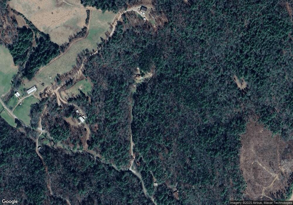
Map
Nearby Homes
- 472 Bear Paw Church Rd
- Lot 25 Hideaway Ridge Dr
- 124 Hideout Ln
- 139 Hideout Ln
- 00 Dasali Way
- 865 Dasali Way
- 601 Sierra Cir
- 1025 Sierra Cir
- Lot 66 Choctaw Ridge Trail
- Lot 97 Choctaw Ridge Trail
- 575 Upper Bear Paw Rd
- 539 Flowing Springs Dr
- 36 Prairie Crossing
- 1254 Friendship Church Rd
- 167 Lemon Drop Ln
- 0 Lonesome Pine Rd Unit 7858460
- 32.4 AC N Carolina 294
- 000 N Carolina 294
- 7 Whispering Pine Trail
- 205 Chestnut Oaks Dr
- 90 Crystal Cove
- 94 Crystal Cove
- 57 Crystal Cove
- 51 Crystal Cove
- 2911 Lower Bear Paw Rd
- 2915 Lower Bear Paw Rd
- 000 State Road 1312
- 0 State Road 1312
- 2990 Lower Bear Paw Rd
- 2990 Lower Bear Paw Rd
- 2325 Lower Bear Paw Rd
- 2145 Upper Bear Paw Rd
- 2135 Upper Bear Paw Rd
- 3202 Lower Bear Paw Rd
- 3202 Lower Bear Paw Rd
- 2015 Upper Bear Paw Rd
- 2096 Upper Bear Paw Rd
- 410 Bear Paw Church Rd
- 436 Bear Paw Church Rd Unit 60-B
- 436 Bear Paw Church Rd
Your Personal Tour Guide
Ask me questions while you tour the home.