2749 Lapham Dr Unit Bldg-Unit Pinckney, MI 48169
Estimated Value: $385,000 - $465,000
2
Beds
2
Baths
1,699
Sq Ft
$248/Sq Ft
Est. Value
About This Home
This home is located at 2749 Lapham Dr Unit Bldg-Unit, Pinckney, MI 48169 and is currently estimated at $421,938, approximately $248 per square foot. 2749 Lapham Dr Unit Bldg-Unit is a home located in Livingston County with nearby schools including Farley Hill Elementary School, Navigator School, and Pathfinder School.
Ownership History
Date
Name
Owned For
Owner Type
Purchase Details
Closed on
Jan 4, 2021
Sold by
Proffer Dora Ruth
Bought by
Mondelli Michelle
Current Estimated Value
Purchase Details
Closed on
Jun 29, 2001
Sold by
Gies Joseph C and Gies Frances C
Bought by
Proffer Dora Ruth
Home Financials for this Owner
Home Financials are based on the most recent Mortgage that was taken out on this home.
Original Mortgage
$152,000
Interest Rate
7.22%
Purchase Details
Closed on
Sep 27, 2000
Sold by
Gies Joseph C and Gies Frances C
Bought by
Gies Joseph C and Gies Frances C
Create a Home Valuation Report for This Property
The Home Valuation Report is an in-depth analysis detailing your home's value as well as a comparison with similar homes in the area
Home Values in the Area
Average Home Value in this Area
Purchase History
| Date | Buyer | Sale Price | Title Company |
|---|---|---|---|
| Mondelli Michelle | $320,000 | Paramount Title Agency | |
| Mondelli Michelle | -- | Liberty Title | |
| Proffer Dora Ruth | $190,000 | American Title Co | |
| Gies Joseph C | -- | -- |
Source: Public Records
Mortgage History
| Date | Status | Borrower | Loan Amount |
|---|---|---|---|
| Previous Owner | Proffer Dora Ruth | $152,000 |
Source: Public Records
Tax History Compared to Growth
Tax History
| Year | Tax Paid | Tax Assessment Tax Assessment Total Assessment is a certain percentage of the fair market value that is determined by local assessors to be the total taxable value of land and additions on the property. | Land | Improvement |
|---|---|---|---|---|
| 2025 | $4,372 | $196,450 | $0 | $0 |
| 2024 | $1,471 | $169,750 | $0 | $0 |
| 2023 | $1,403 | $161,630 | $0 | $0 |
| 2022 | $2,619 | $126,310 | $0 | $0 |
| 2021 | $2,962 | $126,310 | $0 | $0 |
| 2020 | $2,937 | $114,670 | $0 | $0 |
| 2019 | $2,895 | $103,980 | $0 | $0 |
| 2018 | $2,892 | $131,920 | $0 | $0 |
| 2017 | $2,812 | $131,920 | $0 | $0 |
| 2016 | $2,796 | $105,930 | $0 | $0 |
| 2014 | $2,279 | $102,260 | $0 | $0 |
| 2012 | $2,279 | $114,630 | $0 | $0 |
Source: Public Records
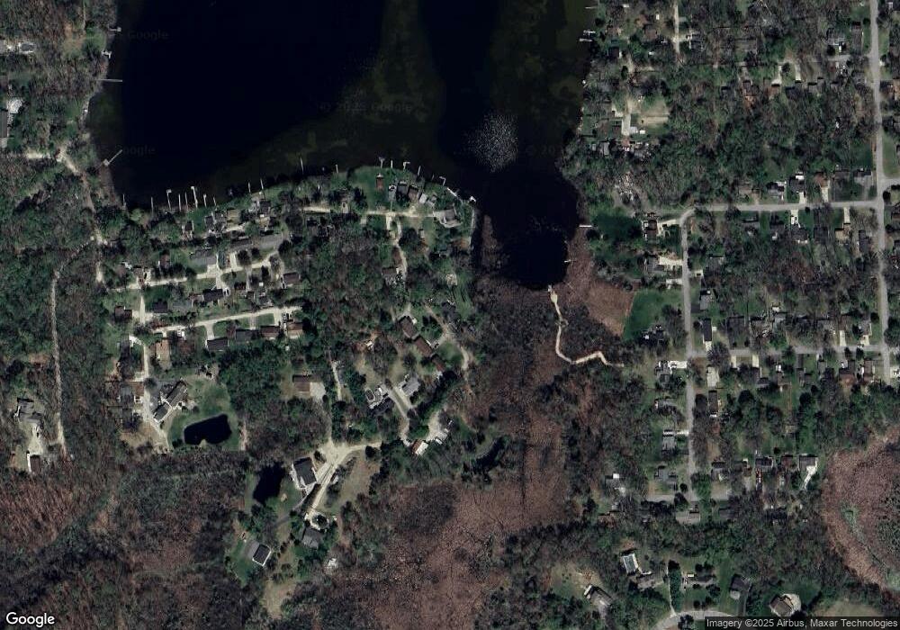
Map
Nearby Homes
- 10499 Michael Blvd
- 2540 Lister Dr
- 10350 Half Moon Dr
- 9993 Tioga Trail Unit 154
- 9970 Whispering Woods Dr
- 11410 Tall Shadows Ct
- 3380 McCluskey
- 00 Colony
- 11026 Colony Rd
- 11527 Mcgregor Rd
- 3590 Habitat Trail Unit 25
- 11109 Wynns Rd
- 11589 Lombardy Ct
- 11770 Woodview
- 9418 Charlie Brown Ln
- 3450 Hooker Rd
- 4106 Shoreview Ln
- 8883 Redstone Dr Unit 2
- Lot 1 Dunlavy Ln
- 8537 2nd St
- 2749 Lapham Dr
- 2720 Lapham Dr
- 2708 Lapham Dr
- 2744 Lapham Dr
- 2737 Melvin Rd
- 2696 Universal Dr
- 2625 Marine Dr
- 2669 Melvin Rd
- 2727 Melvin Rd
- 2691 Melvin Rd
- 2701 Melvin Rd
- 2611 Marine Dr
- 2713 Melvin Rd
- 2709 Melvin Rd
- 2705 Melvin Rd
- 2599 Marine Dr
- 2646 Marine Dr
- 2681 Melvin Rd
- 2675 Melvin Rd
- 2663 Melvin Rd