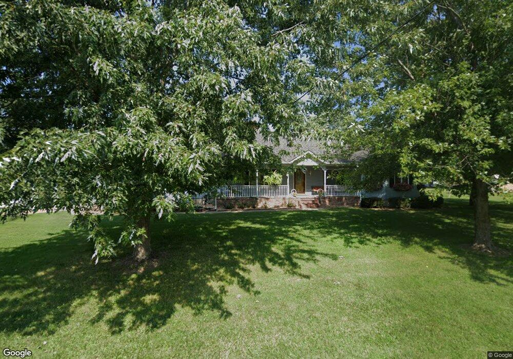
2749 N Atlantic St Brookline, MO 65619
Estimated Value: $189,000 - $346,000
3
Beds
2
Baths
2,004
Sq Ft
$138/Sq Ft
Est. Value
About This Home
This home is located at 2749 N Atlantic St, Brookline, MO 65619 and is currently estimated at $275,704, approximately $137 per square foot. 2749 N Atlantic St is a home located in Greene County with nearby schools including Price Elementary School, Republic Middle School, and Republic High School.
Ownership History
Date
Name
Owned For
Owner Type
Purchase Details
Closed on
Jun 1, 2024
Sold by
Hardie Karen Sue
Bought by
Hardie Karen Sue and Dotson Hollie Michelle
Current Estimated Value
Create a Home Valuation Report for This Property
The Home Valuation Report is an in-depth analysis detailing your home's value as well as a comparison with similar homes in the area
Home Values in the Area
Average Home Value in this Area
Tax History Compared to Growth
Tax History
| Year | Tax Paid | Tax Assessment Tax Assessment Total Assessment is a certain percentage of the fair market value that is determined by local assessors to be the total taxable value of land and additions on the property. | Land | Improvement |
|---|---|---|---|---|
| 2025 | $1,566 | $30,230 | $2,850 | $27,380 |
| 2024 | $1,566 | $28,030 | $2,380 | $25,650 |
| 2023 | $1,536 | $28,030 | $2,380 | $25,650 |
| 2022 | $1,401 | $25,450 | $2,380 | $23,070 |
| 2021 | $1,393 | $25,450 | $2,380 | $23,070 |
| 2020 | $1,390 | $25,010 | $2,380 | $22,630 |
| 2019 | $1,386 | $25,010 | $2,380 | $22,630 |
| 2018 | $1,347 | $23,500 | $1,900 | $21,600 |
| 2017 | $0 | $22,360 | $1,900 | $20,460 |
| 2016 | $1,286 | $22,360 | $1,900 | $20,460 |
| 2015 | $1,281 | $22,360 | $1,900 | $20,460 |
| 2014 | $1,226 | $21,220 | $1,900 | $19,320 |
Source: Public Records
Map
Nearby Homes
- 1755 N Boxwood Dr
- 4074 E Ashwood Ct
- The Charleston Plan at Wilson's Valley
- The Mesa W/Basement Plan at Wilson's Valley
- The Manhattan Plan at Wilson's Valley
- The Savannah Plan at Wilson's Valley
- The Aspen W/Basement Plan at Wilson's Valley
- The Dayton Plan at Wilson's Valley
- The Charleston W/Basement Plan at Wilson's Valley
- The Mesa Plan at Wilson's Valley
- The Tampa Plan at Wilson's Valley
- The Edgewood Plan at Wilson's Valley
- The Raleigh Plan at Wilson's Valley
- 4090 E Ashwood Ct
- 4085 E Ashwood Ct
- 1722 N Hawthorne Place
- 1708 N Hawthorne Place
- 000 S State Highway Mm
- 4093 E Ashwood St
- 4098 E Ashwood Ct
- 2749 N Atlantic St
- 2787 N Atlantic Ave
- 2752 S Atlantic St
- 2752 N Atlantic St
- 6620 W Washington St
- 2794 N Atlantic St
- 2794 N Atlantic St
- 2794 S Atlantic St
- 3402 E Haile St
- 3404 E Benton St
- 3390 E Haile St
- 3446 E Haile St
- 3455 E Benton St
- 0 W Washington Ave
- 3492 E Haile St
- 3325 E Haile St
- 2756 N Brookline Ave
- 2703 N Atlantic St
- 6624 W Washington St
- 2887 S Sherman St