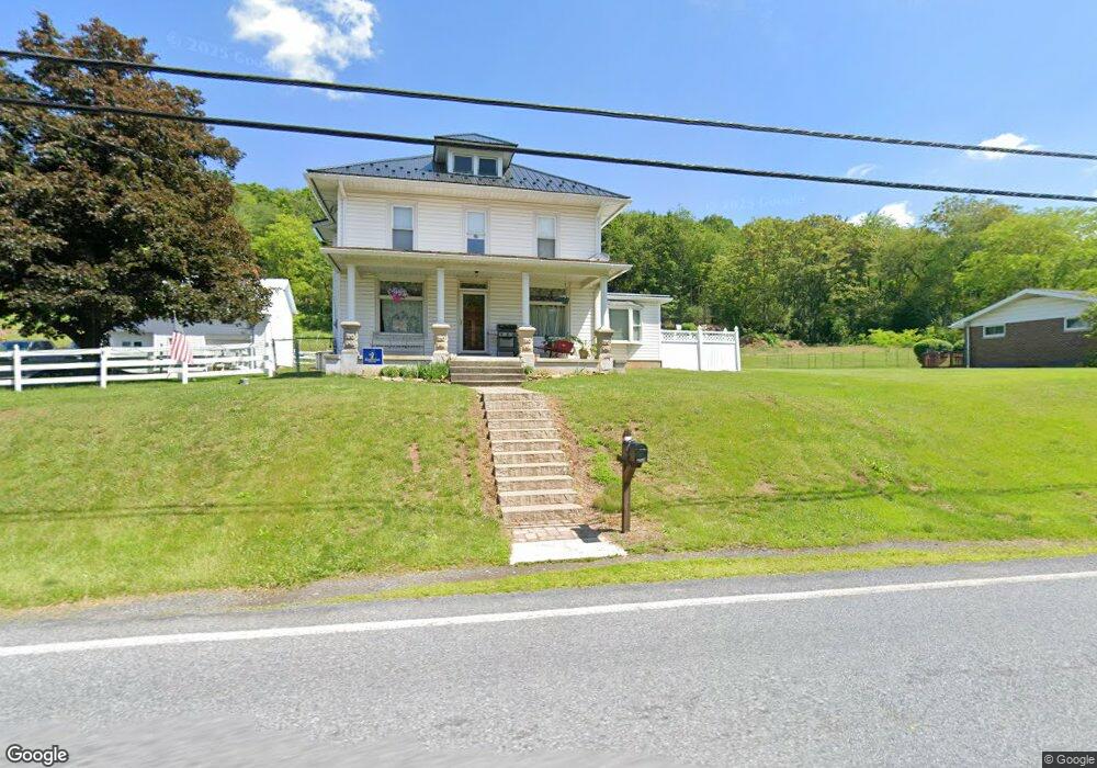
2749 Route 737 Kempton, PA 19529
Estimated Value: $270,829 - $381,000
3
Beds
2
Baths
1,780
Sq Ft
$193/Sq Ft
Est. Value
About This Home
This home is located at 2749 Route 737, Kempton, PA 19529 and is currently estimated at $344,207, approximately $193 per square foot. 2749 Route 737 is a home located in Berks County with nearby schools including Kutztown Area Senior High School.
Ownership History
Date
Name
Owned For
Owner Type
Purchase Details
Closed on
Apr 28, 2012
Sold by
Sweeney David L and Sweeney Denise M
Bought by
Sweeney David L
Current Estimated Value
Purchase Details
Closed on
Aug 8, 2002
Sold by
Schumaker Arlyn D and Schumaker Sherry J
Bought by
Sweeney David L and Sweeney Denise M
Home Financials for this Owner
Home Financials are based on the most recent Mortgage that was taken out on this home.
Original Mortgage
$117,400
Outstanding Balance
$49,109
Interest Rate
6.39%
Estimated Equity
$295,098
Create a Home Valuation Report for This Property
The Home Valuation Report is an in-depth analysis detailing your home's value as well as a comparison with similar homes in the area
Home Values in the Area
Average Home Value in this Area
Purchase History
| Date | Buyer | Sale Price | Title Company |
|---|---|---|---|
| Sweeney David L | -- | None Available | |
| Sweeney David L | $123,600 | First American Title Ins Co |
Source: Public Records
Mortgage History
| Date | Status | Borrower | Loan Amount |
|---|---|---|---|
| Open | Sweeney David L | $117,400 |
Source: Public Records
Tax History Compared to Growth
Tax History
| Year | Tax Paid | Tax Assessment Tax Assessment Total Assessment is a certain percentage of the fair market value that is determined by local assessors to be the total taxable value of land and additions on the property. | Land | Improvement |
|---|---|---|---|---|
| 2025 | $857 | $89,100 | $28,000 | $61,100 |
| 2024 | $3,466 | $89,100 | $28,000 | $61,100 |
| 2023 | $3,405 | $89,100 | $28,000 | $61,100 |
| 2022 | $3,405 | $89,100 | $28,000 | $61,100 |
| 2021 | $3,405 | $89,100 | $28,000 | $61,100 |
| 2020 | $3,405 | $89,100 | $28,000 | $61,100 |
| 2019 | $3,405 | $89,100 | $28,000 | $61,100 |
| 2018 | $3,405 | $89,100 | $28,000 | $61,100 |
| 2017 | $3,379 | $89,100 | $28,000 | $61,100 |
| 2016 | $696 | $89,100 | $28,000 | $61,100 |
| 2015 | $696 | $89,100 | $28,000 | $61,100 |
| 2014 | $696 | $89,100 | $28,000 | $61,100 |
Source: Public Records
Map
Nearby Homes
- 147 Scout Rd
- 1117 Hawk Mountain Rd
- 529 Little Roundtop Rd
- 6168 Greenawalt Rd
- 572 Old U S 22
- 21 Sunny Ridge Ct
- 8165 Weavers Ct
- 333 New Bethel Church Rd
- 123 Kohlers Hill Rd
- 7893 Leaser Rd
- 21 Blue Rocks Rd
- 100 Kohlers Hill Rd
- 6 Green Acres Rd
- 1563 Old Route 22
- 7866 Brobst Hill Rd
- 79 Daniel Rd W
- 45 Eagle St
- 82 Pheasant Dr
- 235 Stump Rd
- 2995 Sechler Ct
- 2704 Route 737
- 2745 Route 737
- 2757 Route 737
- 2756 Route 737
- 2737 Route 737
- 2718 Route 737
- 2729 Route 737
- 2726 Route 737
- 2725 Route 737
- 2719 Pennsylvania 737
- 65 Brigham Way
- 2725 Pennsylvania 737
- 2709 Route 737
- 74 Brigham Way
- 2710 Route 737
- 2805 Rte 737
- 43 Brigham Way
- 64 Brigham Way
- 48 Brigham Way
- 2682 Route 737