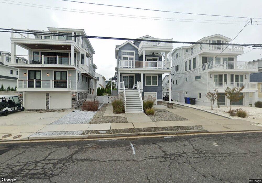
275 25th St Avalon, NJ 08202
Estimated Value: $2,585,378 - $3,068,000
Studio
--
Bath
2,650
Sq Ft
$1,060/Sq Ft
Est. Value
About This Home
This home is located at 275 25th St, Avalon, NJ 08202 and is currently estimated at $2,808,095, approximately $1,059 per square foot. 275 25th St is a home located in Cape May County with nearby schools including Avalon Elementary School.
Ownership History
Date
Name
Owned For
Owner Type
Purchase Details
Closed on
May 31, 2024
Sold by
Baer Christopher A and Wilson David G
Bought by
Baer Christopher A
Current Estimated Value
Purchase Details
Closed on
Mar 20, 1999
Sold by
Hoy Richard
Bought by
Baer Christopher and Wilson David
Home Financials for this Owner
Home Financials are based on the most recent Mortgage that was taken out on this home.
Original Mortgage
$166,400
Interest Rate
6.78%
Purchase Details
Closed on
Oct 13, 1989
Sold by
Morrisey Daniel and Morrisey Irma
Bought by
Hoy Richard
Create a Home Valuation Report for This Property
The Home Valuation Report is an in-depth analysis detailing your home's value as well as a comparison with similar homes in the area
Home Values in the Area
Average Home Value in this Area
Purchase History
| Date | Buyer | Sale Price | Title Company |
|---|---|---|---|
| Baer Christopher A | -- | None Listed On Document | |
| Baer Christopher | $208,000 | -- | |
| Hoy Richard | $160,000 | -- |
Source: Public Records
Mortgage History
| Date | Status | Borrower | Loan Amount |
|---|---|---|---|
| Previous Owner | Baer Christopher | $166,400 |
Source: Public Records
Tax History
| Year | Tax Paid | Tax Assessment Tax Assessment Total Assessment is a certain percentage of the fair market value that is determined by local assessors to be the total taxable value of land and additions on the property. | Land | Improvement |
|---|---|---|---|---|
| 2025 | $8,450 | $1,376,300 | $700,000 | $676,300 |
| 2024 | $8,450 | $1,376,300 | $700,000 | $676,300 |
| 2023 | $8,382 | $1,376,300 | $700,000 | $676,300 |
| 2022 | $7,817 | $1,376,300 | $700,000 | $676,300 |
| 2021 | $7,528 | $1,376,300 | $700,000 | $676,300 |
| 2020 | $7,239 | $1,376,300 | $700,000 | $676,300 |
| 2019 | $7,019 | $1,376,300 | $700,000 | $676,300 |
| 2018 | $6,716 | $1,376,300 | $700,000 | $676,300 |
| 2017 | $6,954 | $1,250,700 | $675,000 | $575,700 |
| 2016 | $3,713 | $675,000 | $675,000 | $0 |
| 2015 | $4,309 | $796,500 | $675,000 | $121,500 |
| 2014 | $4,261 | $796,500 | $675,000 | $121,500 |
Source: Public Records
Map
Nearby Homes
- 212 25th St Unit End Unit
- 2425 Harbor Ave Unit 2425
- 211 23rd St
- 386 24th St
- 386 24th St Unit Upper
- 161 24th St
- 179 27th St
- 389 22nd St
- 118 22nd St
- 447 24th St
- 2023 Dune Dr Unit R6
- 890 21st St
- 2934 Ocean Dr Unit North
- 76 21st St W
- 178 19th St
- 415 20th St
- 2968 First Ave
- 2988 1st Ave
- 8 27th St Unit West
- 1838 First Ave
- 283 25th St
- 269 25th St
- 259 25th St
- 2455 Ocean Dr Unit 2455
- 264 24th St
- 274 24th St
- 254 24th St
- 251 25th St
- 2485 Ocean Dr Unit 2485
- 2487 Ocean Dr Unit 2487
- 250 24th St
- 250 24th St Unit EAST
- 250 24th St Unit West
- 2529 Ocean Dr
- 2529 Ocean Dr Unit East
- 276 25th St
- 284 25th St
- 268 25th St
- 2539 Ocean Dr
- 2465 Ocean Dr