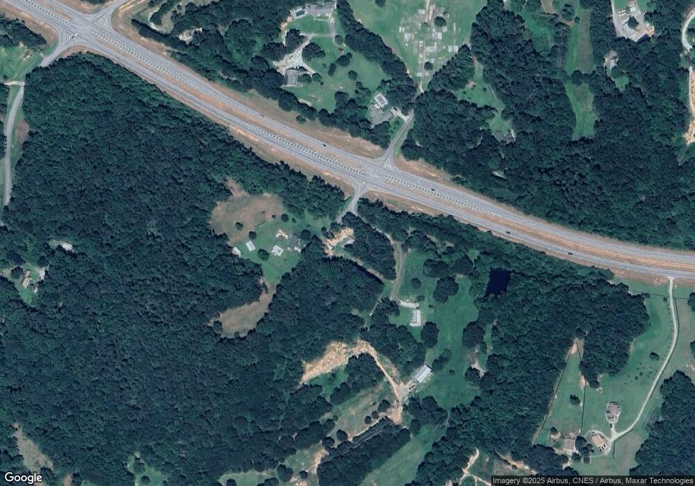
275 Alfred Camp Rd Toccoa, GA 30577
Estimated Value: $177,000 - $248,000
3
Beds
3
Baths
1,160
Sq Ft
$175/Sq Ft
Est. Value
About This Home
This home is located at 275 Alfred Camp Rd, Toccoa, GA 30577 and is currently estimated at $203,353, approximately $175 per square foot. 275 Alfred Camp Rd is a home located in Stephens County with nearby schools including Stephens County High School.
Ownership History
Date
Name
Owned For
Owner Type
Purchase Details
Closed on
Jan 27, 2025
Sold by
Carter Charles Q
Bought by
Carter Charles Terrill
Current Estimated Value
Purchase Details
Closed on
Jun 14, 2016
Sold by
Rutenber Dolores E
Bought by
Cqc 202 Llc
Purchase Details
Closed on
Feb 3, 2016
Sold by
Camp Alfred W
Bought by
Williams Debra K and Rutenber Dolores E
Purchase Details
Closed on
Nov 13, 2006
Sold by
Camp Alfred
Bought by
Georgia Department Of Transpor
Create a Home Valuation Report for This Property
The Home Valuation Report is an in-depth analysis detailing your home's value as well as a comparison with similar homes in the area
Home Values in the Area
Average Home Value in this Area
Purchase History
| Date | Buyer | Sale Price | Title Company |
|---|---|---|---|
| Carter Charles Terrill | -- | -- | |
| Cqc 202 Llc | $45,000 | -- | |
| Williams Debra K | -- | -- | |
| Georgia Department Of Transpor | -- | -- |
Source: Public Records
Tax History Compared to Growth
Tax History
| Year | Tax Paid | Tax Assessment Tax Assessment Total Assessment is a certain percentage of the fair market value that is determined by local assessors to be the total taxable value of land and additions on the property. | Land | Improvement |
|---|---|---|---|---|
| 2024 | $1,049 | $34,438 | $3,304 | $31,134 |
| 2023 | $979 | $32,151 | $3,304 | $28,847 |
| 2022 | $908 | $30,506 | $3,304 | $27,202 |
| 2021 | $884 | $28,270 | $3,304 | $24,966 |
| 2020 | $894 | $28,316 | $3,304 | $25,012 |
| 2019 | $888 | $28,016 | $3,004 | $25,012 |
| 2018 | $919 | $28,968 | $3,004 | $25,964 |
| 2017 | $781 | $24,260 | $3,004 | $21,256 |
| 2016 | $769 | $24,259 | $3,004 | $21,255 |
| 2015 | $805 | $24,244 | $3,004 | $21,240 |
| 2014 | $832 | $24,644 | $3,004 | $21,640 |
| 2013 | -- | $25,732 | $4,092 | $21,640 |
Source: Public Records
Map
Nearby Homes
- 1662 Carnes Creek Rd
- 184 Scott Cir
- 571 N Currahee Ln
- 9369 Sherwood Ct
- 215 Old Mize Rd
- 1387 Mize Rd
- 97 Hillside Dr
- 266 Cawthon Rd
- 151 Richardson St
- 0 Highway 184 Unit 7606848
- 0 Highway 184 Unit 10547296
- 0 Switchback Run Unit 10437289
- 275 Southern Trace
- 255 Southern Trace
- 871 W Leatherwood Rd
- 939 W Leatherwood Rd
- 770 Buena Vista Dr
- 16 Terri Ln
- 424 Law House Rd
- 4 Piedmont
- 310 Alfred Camp Rd
- 253 Alfred Camp Rd
- 0 Shady Creek Pvt Dr Unit TR 1 2613875
- 178 Alfred Camp Rd
- 77 Alfred Camp Rd
- 154 Alfred Camp Rd
- 0 Currahee Ln Unit 3050261
- 0 Currahee Ln Unit 7618416
- 1616 Carnes Creek Rd
- 17 Alfred Camp Rd
- 96 N Currahee Ln
- 3409 Georgia 17
- 3479 Toccoa By Pass
- 3479 Toccoa Bypass
- 3479 Toccoa Bypass
- 0 Highway 365 Area Unit 3162862
- 1396 Carnes Creek Rd
- 1670 Carnes Creek Rd
- 1537 Carnes Creek Rd
- 1352 Carnes Creek Rd
