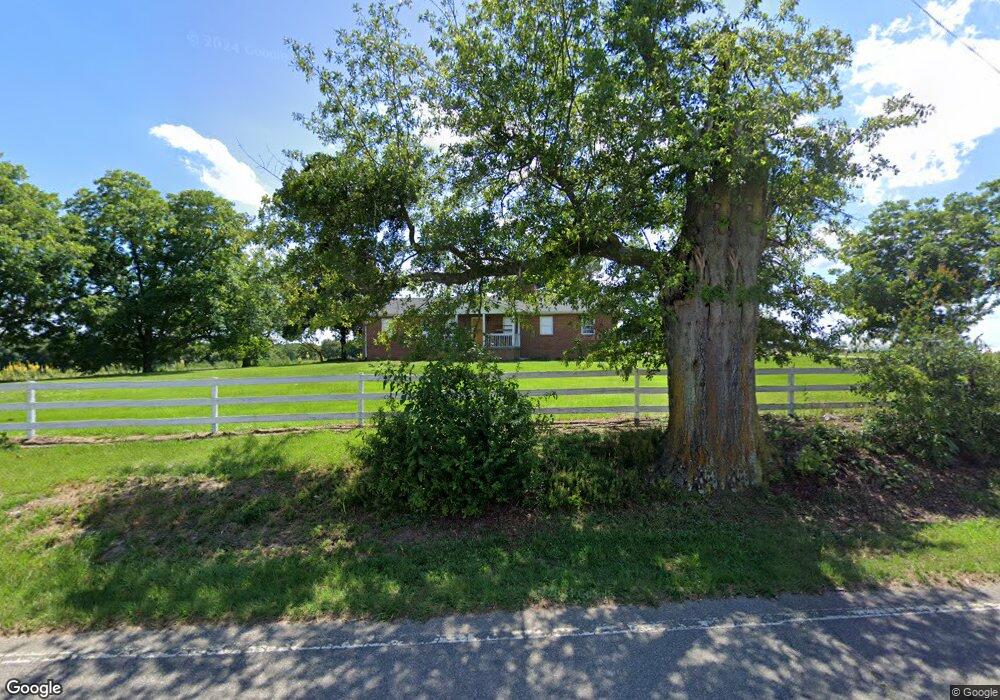
275 Bennett Rd Ellerbe, NC 28338
Estimated Value: $198,000 - $3,919,314
3
Beds
2
Baths
1,942
Sq Ft
$1,060/Sq Ft
Est. Value
About This Home
This home is located at 275 Bennett Rd, Ellerbe, NC 28338 and is currently estimated at $2,058,657, approximately $1,060 per square foot. 275 Bennett Rd is a home located in Richmond County with nearby schools including Mineral Springs Elementary School, Ellerbe Middle School, and Ashley Chapel Educational Center.
Ownership History
Date
Name
Owned For
Owner Type
Purchase Details
Closed on
Dec 6, 2017
Sold by
E & T Llc
Bought by
Agri Kode Llc
Current Estimated Value
Home Financials for this Owner
Home Financials are based on the most recent Mortgage that was taken out on this home.
Original Mortgage
$7,600,000
Interest Rate
3.9%
Mortgage Type
Construction
Purchase Details
Closed on
May 13, 1997
Bought by
Southeastern Land & Timber Co and C
Create a Home Valuation Report for This Property
The Home Valuation Report is an in-depth analysis detailing your home's value as well as a comparison with similar homes in the area
Home Values in the Area
Average Home Value in this Area
Purchase History
| Date | Buyer | Sale Price | Title Company |
|---|---|---|---|
| Agri Kode Llc | -- | None Available | |
| Southeastern Land & Timber Co | $225,000 | -- |
Source: Public Records
Mortgage History
| Date | Status | Borrower | Loan Amount |
|---|---|---|---|
| Previous Owner | Agri Kode Llc | $7,600,000 |
Source: Public Records
Tax History Compared to Growth
Tax History
| Year | Tax Paid | Tax Assessment Tax Assessment Total Assessment is a certain percentage of the fair market value that is determined by local assessors to be the total taxable value of land and additions on the property. | Land | Improvement |
|---|---|---|---|---|
| 2025 | $20,859 | $2,837,590 | $309,230 | $2,528,360 |
| 2024 | $21,368 | $2,837,590 | $309,230 | $2,528,360 |
| 2023 | $14,254 | $1,698,329 | $217,401 | $1,480,928 |
| 2022 | $14,254 | $1,698,329 | $217,401 | $1,480,928 |
| 2021 | $14,250 | $1,698,329 | $217,401 | $1,480,928 |
| 2020 | $10,171 | $1,255,529 | $217,401 | $1,038,128 |
| 2019 | $9,695 | $1,255,529 | $217,401 | $1,038,128 |
| 2018 | $11,490 | $1,304,944 | $266,816 | $1,038,128 |
| 2016 | $3,335 | $392,950 | $266,816 | $126,134 |
| 2014 | -- | $299,509 | $181,250 | $118,259 |
Source: Public Records
Map
Nearby Homes
- 219 Wallace Rd
- 2395 U S 220
- 370 N Carolina 73
- 144 Grey Fox Rd
- 0 Crawford St
- 3 Green Lake Rd
- 299 Rankin Lake Rd
- 151 Godfrey Rd
- 650 Clayton Carriker Rd
- 654 Clayton Carriker Rd
- 277 Old Woods Rd
- 8 Country
- 7 Country
- 110 Haywood Cemetery Rd
- 119 Dockery Rd
- 00 Dockery Rd
- 130 Ingram Mill Rd
- TBD Grassy Island Rd
- 212 Guardian Way
- 181 Stelleys Tabernacle Church Rd
- 240 Bennett Rd
- 00 Bennett Rd
- 230 Bennett Rd
- 209 Bennett Rd
- 204 Bennett Rd
- 183 Bennett Rd
- 172 Bennett Rd
- 171 Bennett Rd
- 128 Brigman Rd
- 280 Marvin McCaskill Rd
- 159 Bennett Rd
- 130 Brigman Rd
- 428 Bennett Rd
- 125 Brigman Rd
- 220 John Deere Rd
- 151 Bennett Rd
- 484 Page Street Extension
- 141 Bowers Ln
- 460 Page Street Extension
- 195 Marvin McCaskill Rd