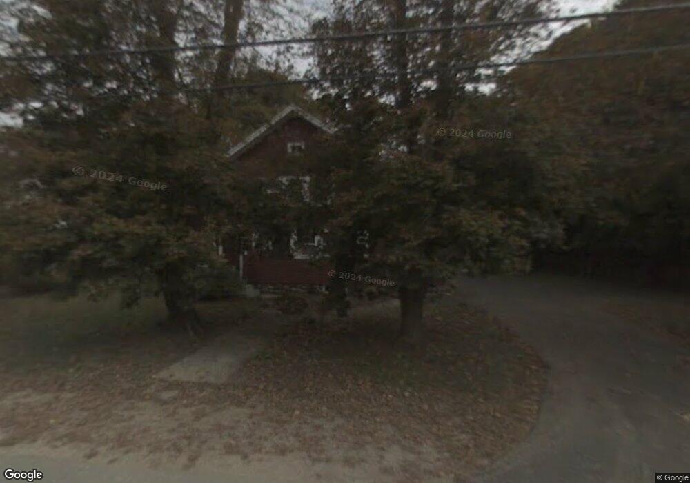
275 Central St Mansfield, MA 02048
Estimated Value: $602,000 - $653,000
3
Beds
2
Baths
1,680
Sq Ft
$373/Sq Ft
Est. Value
About This Home
This home is located at 275 Central St, Mansfield, MA 02048 and is currently estimated at $626,282, approximately $372 per square foot. 275 Central St is a home located in Bristol County with nearby schools including Everett W. Robinson Elementary School, Jordan/Jackson Elementary School, and Harold L. Qualters Middle School.
Ownership History
Date
Name
Owned For
Owner Type
Purchase Details
Closed on
Aug 23, 1991
Sold by
Lincoln Barbara N
Bought by
Cree Michael J and Cree Ellen
Current Estimated Value
Purchase Details
Closed on
Apr 27, 1987
Sold by
Larner William P
Bought by
Lincoln Barbara N
Create a Home Valuation Report for This Property
The Home Valuation Report is an in-depth analysis detailing your home's value as well as a comparison with similar homes in the area
Home Values in the Area
Average Home Value in this Area
Purchase History
| Date | Buyer | Sale Price | Title Company |
|---|---|---|---|
| Cree Michael J | $150,000 | -- | |
| Lincoln Barbara N | $143,000 | -- |
Source: Public Records
Mortgage History
| Date | Status | Borrower | Loan Amount |
|---|---|---|---|
| Open | Lincoln Barbara N | $263,975 | |
| Closed | Lincoln Barbara N | $175,000 |
Source: Public Records
Tax History
| Year | Tax Paid | Tax Assessment Tax Assessment Total Assessment is a certain percentage of the fair market value that is determined by local assessors to be the total taxable value of land and additions on the property. | Land | Improvement |
|---|---|---|---|---|
| 2025 | $6,451 | $489,800 | $204,300 | $285,500 |
| 2024 | $6,492 | $480,900 | $204,300 | $276,600 |
| 2023 | $6,249 | $443,500 | $204,300 | $239,200 |
| 2022 | $6,158 | $405,900 | $189,100 | $216,800 |
| 2021 | $3,546 | $382,200 | $175,100 | $207,100 |
| 2020 | $5,460 | $355,500 | $175,100 | $180,400 |
| 2019 | $4,106 | $349,500 | $146,000 | $203,500 |
| 2018 | $3,350 | $326,700 | $132,100 | $194,600 |
| 2017 | $3,239 | $319,400 | $128,300 | $191,100 |
| 2016 | $4,626 | $300,200 | $128,700 | $171,500 |
| 2015 | $4,331 | $279,400 | $122,200 | $157,200 |
Source: Public Records
Map
Nearby Homes
- 166 Chauncy St
- 152 Central St
- 73-75 Draper Ave
- 150 Rumford Ave Unit 110
- 266 N Main St Unit 3
- 356 Central St
- 22 Pleasant St Unit C
- 81 Chilson Ave
- 28 Court St
- 4 Concetta Cir
- 619 N Main St
- 44 Fairfield Park Unit 44
- 46 Hope St
- 233 Central St
- 157 Central St
- 1 Deer Path Ln
- 155 South St
- 346 South St
- 460 Ware St
- 261 East St
- 259 Central St
- 281 Central St
- 24 Perkins Ave
- 276 Central St
- 28 Perkins Ave
- 255 Central St
- 266 Central St
- 280 Central St
- 284 Central St
- 284 Central St Unit 2
- 284 Central St Unit Rear
- 284 Central St Unit 1
- 260 Central St
- 32 Perkins Ave
- 20 Perkins Ave
- 251 Central St
- 291 Central St
- 33 Paine Rd
- 141 Copeland Dr
- 36 Perkins Ave
Your Personal Tour Guide
Ask me questions while you tour the home.