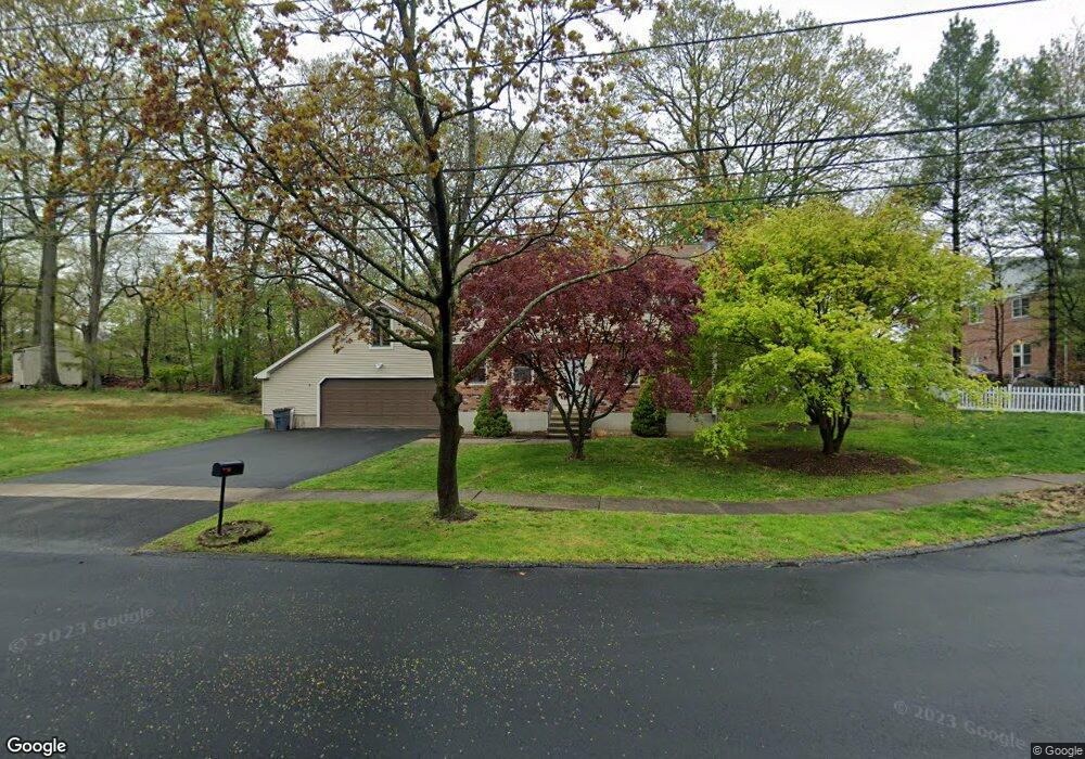
275 Deerfield Dr Stratford, CT 06614
Estimated Value: $525,297 - $606,000
4
Beds
3
Baths
1,750
Sq Ft
$322/Sq Ft
Est. Value
About This Home
This home is located at 275 Deerfield Dr, Stratford, CT 06614 and is currently estimated at $563,574, approximately $322 per square foot. 275 Deerfield Dr is a home with nearby schools including Eli Whitney Elementary School, Harry B. Flood Middle School, and Bunnell High School.
Ownership History
Date
Name
Owned For
Owner Type
Purchase Details
Closed on
Sep 16, 1998
Sold by
Broska Tess K and Hannish Lorretta
Bought by
Salvation Army
Current Estimated Value
Home Financials for this Owner
Home Financials are based on the most recent Mortgage that was taken out on this home.
Original Mortgage
$130,000
Outstanding Balance
$25,928
Interest Rate
6.13%
Estimated Equity
$537,646
Create a Home Valuation Report for This Property
The Home Valuation Report is an in-depth analysis detailing your home's value as well as a comparison with similar homes in the area
Home Values in the Area
Average Home Value in this Area
Purchase History
| Date | Buyer | Sale Price | Title Company |
|---|---|---|---|
| Salvation Army | $220,000 | -- |
Source: Public Records
Mortgage History
| Date | Status | Borrower | Loan Amount |
|---|---|---|---|
| Open | Salvation Army | $130,000 |
Source: Public Records
Tax History Compared to Growth
Tax History
| Year | Tax Paid | Tax Assessment Tax Assessment Total Assessment is a certain percentage of the fair market value that is determined by local assessors to be the total taxable value of land and additions on the property. | Land | Improvement |
|---|---|---|---|---|
| 2025 | $7,916 | $196,910 | $98,840 | $98,070 |
| 2024 | $7,916 | $196,910 | $98,840 | $98,070 |
| 2023 | $7,916 | $196,910 | $98,840 | $98,070 |
| 2022 | $7,770 | $196,910 | $98,840 | $98,070 |
| 2021 | $7,772 | $196,910 | $98,840 | $98,070 |
| 2020 | $7,806 | $196,910 | $98,840 | $98,070 |
| 2019 | $7,594 | $190,470 | $85,260 | $105,210 |
| 2018 | $7,600 | $190,470 | $85,260 | $105,210 |
| 2017 | $0 | $285,460 | $180,250 | $105,210 |
| 2016 | -- | $285,460 | $180,250 | $105,210 |
| 2015 | -- | $285,460 | $180,250 | $105,210 |
| 2014 | -- | $306,950 | $186,270 | $120,680 |
Source: Public Records
Map
Nearby Homes
- 1314 Huntington Rd
- 1250 Huntington Rd
- 80 Sheffield Cir
- 165 Douglas St
- 135 Wigwam Ln
- 735 Chickadee Ln
- 80 Wilbrook Rd
- 246 Delaware Dr
- 175 Post Oak Rd
- 30 Bulmer Dr
- 145 Dahl Ave
- 75 Tucci Dr
- 700 Huntington Rd
- 410 Seabreeze Dr
- 771 Connors Ln
- 290 Hollywood Ave
- 1053 Cutspring Rd
- 240 Highland Ave
- 1618 Nichols Ave
- 216 Ridge Rd
- 290 Deerfield Dr
- 255 Deerfield Dr
- 270 Deerfield Dr
- 295 Deerfield Dr
- 235 Deerfield Dr
- 220 Deerfield Dr
- 1435 Huntington Rd
- 215 Deerfield Dr
- 1375 Huntington Rd
- 70 Hollydale Rd
- 200 Deerfield Dr
- 1445 Huntington Rd
- 1414 Huntington Rd
- 1355 Huntington Rd
- 1394 Huntington Rd
- 1434 Huntington Rd
- 1454 Huntington Rd
- 50 Hollydale Rd
- 175 Deerfield Dr
- 145 Sheffield Dr