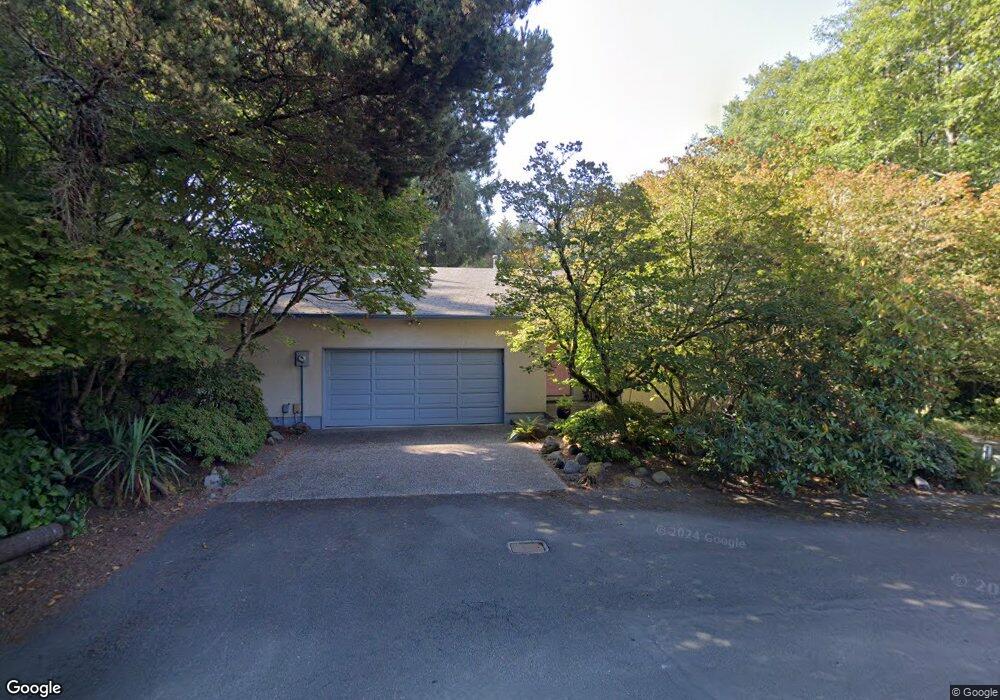
275 E Dawes Ave Cannon Beach, OR 97110
Estimated Value: $967,000 - $1,083,452
3
Beds
3
Baths
336
Sq Ft
$3,088/Sq Ft
Est. Value
About This Home
This home is located at 275 E Dawes Ave, Cannon Beach, OR 97110 and is currently estimated at $1,037,613, approximately $3,088 per square foot. 275 E Dawes Ave is a home with nearby schools including Seaside High School and The Cannon Beach Academy.
Ownership History
Date
Name
Owned For
Owner Type
Purchase Details
Closed on
Mar 13, 2024
Sold by
Burnett Cory S and Burnett Brook H
Bought by
Burnett
Current Estimated Value
Purchase Details
Closed on
Mar 19, 2007
Sold by
Lindsey Timothy M and Lewis Lindsey Judy L
Bought by
Burnett Cory S and Burnett Brook H
Home Financials for this Owner
Home Financials are based on the most recent Mortgage that was taken out on this home.
Original Mortgage
$98,100
Interest Rate
6.31%
Mortgage Type
Credit Line Revolving
Create a Home Valuation Report for This Property
The Home Valuation Report is an in-depth analysis detailing your home's value as well as a comparison with similar homes in the area
Home Values in the Area
Average Home Value in this Area
Purchase History
| Date | Buyer | Sale Price | Title Company |
|---|---|---|---|
| Burnett | -- | None Listed On Document | |
| Burnett Cory S | $490,500 | Ticor Title Ins Co |
Source: Public Records
Mortgage History
| Date | Status | Borrower | Loan Amount |
|---|---|---|---|
| Previous Owner | Burnett Cory S | $98,100 | |
| Previous Owner | Burnett Cory S | $392,400 |
Source: Public Records
Tax History Compared to Growth
Tax History
| Year | Tax Paid | Tax Assessment Tax Assessment Total Assessment is a certain percentage of the fair market value that is determined by local assessors to be the total taxable value of land and additions on the property. | Land | Improvement |
|---|---|---|---|---|
| 2024 | $3,811 | $301,904 | -- | -- |
| 2023 | $3,443 | $293,112 | $0 | $0 |
| 2022 | $3,354 | $284,576 | $0 | $0 |
| 2021 | $3,285 | $276,288 | $0 | $0 |
| 2020 | $3,228 | $268,241 | $0 | $0 |
| 2019 | $3,034 | $260,429 | $0 | $0 |
| 2018 | $2,875 | $252,845 | $0 | $0 |
| 2017 | $2,763 | $245,482 | $0 | $0 |
| 2016 | $2,376 | $238,333 | $105,885 | $132,448 |
| 2015 | $2,281 | $231,392 | $102,801 | $128,591 |
| 2014 | $2,208 | $224,653 | $0 | $0 |
| 2013 | -- | $218,110 | $0 | $0 |
Source: Public Records
Map
Nearby Homes
- 264 Elliott Way
- 264 E Elliott Way
- 0 E Elliott Way Unit 25-50
- 0 E Elliott Way Unit 6903
- 164 E Hills Ln
- 107 Sunset Blvd
- 216 E Harrison St
- 1631 S Hemlock St
- 1625 Forest Lawn Rd
- 131 Arbor Ln
- 296 E Jackson St
- 1659 Forest Lawn Rd
- 421 Elk Creek Rd
- 420 Elk Creek Rd Unit 503
- 108 W Jefferson St
- 1880 Pacific St
- 3750 Pacific St
- 123 S Hemlock St
- 123 S Hemlock St Unit 201
- 421 Chilkoot Trail
- 291 E Dawes Ave
- 0 Tax Lot 5735 E Dawes Ave
- 1295 Cypress Ct
- 296 E Dawes
- 247 E Dawes
- 296 Dawes Ave
- 1285 Cypress Ct
- 1290 Cypress Ct
- 290 E Dawes
- 290 Dawes Ave
- 1275 Cypress Ct
- 1280 Cypress Ct
- 1315 S Spruce St
- 1435 S Spruce St
- 216 E Dawes Ave
- 272 Elliott Way
- 1270 Cypress Ct
- 1431 S Spruce St
- 248 Elliott Way
- 147 Dawes Ave